Clear Sky Science · en
Sixty years of observations and future projections of nine declining North American glaciers
Why these vanishing ice rivers matter
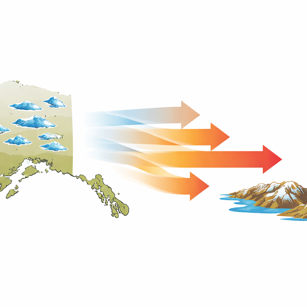
Glaciers may seem distant and unchanging, but they quietly store vast reserves of fresh water, shape landscapes, and help keep our climate stable. This study follows nine North American glaciers over six decades, from painstaking field surveys in the 1950s to today’s satellite-era measurements. By tracking how much ice has already been lost and how much is likely to disappear by 2100, the researchers offer a stark preview of what continued warming means for mountain ice—and for the people and ecosystems that depend on it.
Taking the pulse of nine icy sentinels
In the late 1950s, during the International Geophysical Year, U.S. scientists mapped nine glaciers in Alaska and Washington State in extraordinary detail. These glaciers were chosen because they represent many types of ice found across North America: valley glaciers spilling down mountain slopes, a polythermal glacier with a complex mix of warm and cold ice, and glaciers sitting at different elevations and distances from the ocean. The original campaign required aircraft, ground crews, and years of effort, and was intended to create a benchmark for future comparisons. A follow-up survey in the 1990s updated these measurements, but only in the past two decades have satellites made it possible to revisit all nine sites frequently and affordably.
Satellites as tape measures from space
The new work uses high-resolution digital elevation models—three-dimensional maps of Earth’s surface created from stereo satellite images—to track how glacier surfaces have risen or sunk over time. By combining these surface changes with estimates of ice thickness and the shape of the underlying bedrock, the team calculated total ice volume in 1957/58 and again in 2017/18, filling in the 1990s and late-2000s with earlier survey results and intermediate satellite products. Crucially, they measured volume change over the original 1950s glacier footprints, so that uncertainties in today’s often ragged, debris-covered glacier edges do not distort the totals. This approach also allowed them to convert lost ice into the equivalent amount of fresh water discharged to surrounding rivers and lakes.
How much ice has already been lost
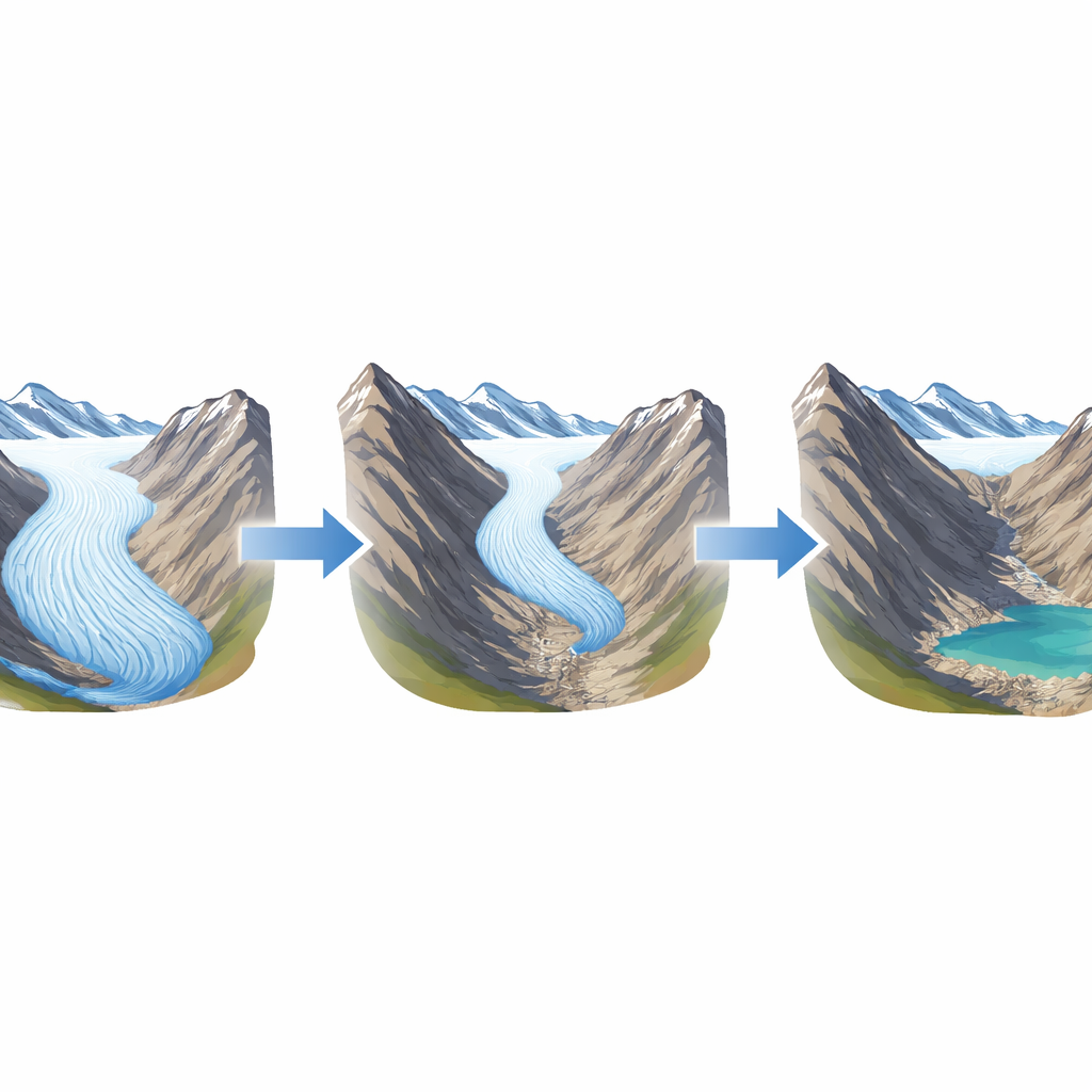
Across the nine glaciers, the numbers tell a sobering story. Together they have shed about 1.7 cubic kilometers of ice—roughly 1.4 billion tons of fresh water—since the 1950s, amounting to a 25 percent loss of their original volume. Their combined surface area has shrunk by about 15 square kilometers, or one third on average, exposing new bare rock and soil. Some glaciers have thinned only modestly, while others have been gutted: Worthington Glacier has lost around 50 meters of average thickness, and West Gulkana Glacier has lost about two-thirds of its volume and nearly 90 percent of its area, with its terminus retreating roughly 3 kilometers. Even relatively sheltered glaciers that sit high in cold mountains are thinning, just more slowly.
Looking ahead under different warming paths
To peer into the future, the researchers linked each glacier’s past volume changes to local air temperatures from global climate models. From this, they derived how sensitive each glacier is to warming and then stepped those relationships forward to 2100 under three emissions pathways: low, medium, and high. Under the most optimistic path, global warming is limited but not stopped, and even then two glaciers—Blue and West Gulkana—vanish by around mid-century, while the others settle at smaller sizes. Under the medium pathway, three glaciers disappear completely and another is reduced to a tiny remnant. In the high-emissions world, only two of the nine—McCall on Alaska’s frigid North Slope and Bear Lake in a relatively cool, remote setting—retain any substantial ice by 2100, and even they lose a large fraction of their mass.
What this means for the next generation
For someone visiting these mountains today, the glaciers may still seem grand and permanent. This study shows that they are anything but. A quarter of their ice has already melted away in just 60 years, and if greenhouse gas emissions continue on current trends, roughly three-quarters of their original ice will likely be gone by the end of the century. The same satellite tools used here can now be applied worldwide, revealing similar patterns in many other glacier systems. In simple terms, unless warming is sharply limited, future generations in North America will know many of today’s glaciers only from photographs and maps, not from the living rivers of ice that once carved these landscapes.
Citation: Josberger, E.G., Shuchman, R.A. & Watkins, R.H. Sixty years of observations and future projections of nine declining North American glaciers. Sci Rep 16, 13738 (2026). https://doi.org/10.1038/s41598-026-41235-6
Keywords: glacier retreat, climate warming, satellite remote sensing, freshwater loss, future projections