Clear Sky Science · en
Risk decision-making behavior in heritage tourism destinations based on eye-tracking experiments in Gulangyu, China
Why disaster choices in historic streets matter
When an earthquake or other disaster strikes a popular historic destination, visitors must quickly decide which way to run. On old islands like Gulangyu in China, with narrow winding alleys and ornate buildings, those choices can mean the difference between reaching safety or getting lost in a maze. This study asks a simple but vital question: how do people actually choose escape routes in such places, and how can the streets and signs be designed to guide them more safely?
Watching decisions through the eyes
To explore this, researchers built a detailed digital version of Gulangyu’s junctions and evacuation routes. They showed participants photographs of real intersections and asked them to pick escape paths step by step as if fleeing to a shelter. While people made these choices, a desktop eye tracker recorded where and how long they looked at each part of the scene, and sensors monitored heart rate and skin responses. A standard questionnaire measured each person’s sense of direction, and an earthquake video was used beforehand to raise their sense of risk and mild stress, approximating a tense emergency situation. 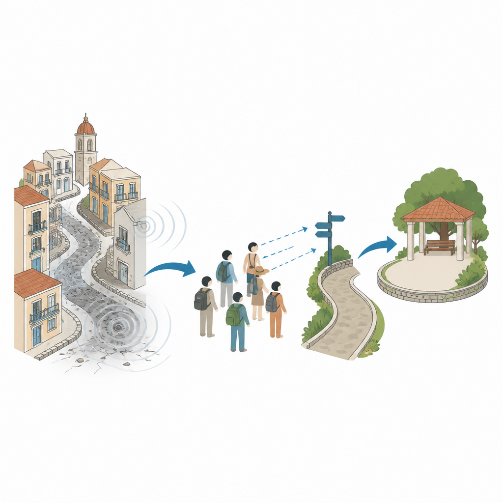
What matters in confusing historic streets
The team also used modern image analysis to break each street photo into categories such as buildings, roads, sky, plants, signs, and other bits of street furniture. This allowed them to measure how much of the view each element occupied, and to compare that with eye movements and route choices. Across 34 young adult participants, planned escape routes on a map usually matched the shortest theoretical path, yet nearly four out of five people later strayed from their plan when faced with actual street views. Those who had visited the island more often, or who scored higher on sense of direction, finished faster, hesitated less, and showed lower heart rates. In other words, both familiarity and natural orientation skills eased decision-making in a confusing historic setting.
How eyes search for safety
Eye tracking revealed a clear order in how people visually explored the streets. Participants tended to latch first onto buildings and signs to work out where they were, then used the sky and vegetation to judge openness and overall environment, and only later focused on the exact layout of the roads. Buildings took up more than half of the typical view and attracted many fixations, acting as strong visual anchors but also adding to mental effort when styles were repetitive. Signs covered only a tiny area of the image yet drew a high share of clicks, showing their outsized role in steering choices even when they are visually small. Open sky and greenery appeared to calm people and support searching, while clutter such as awnings or miscellaneous street objects risked distracting attention and slowing decisions. 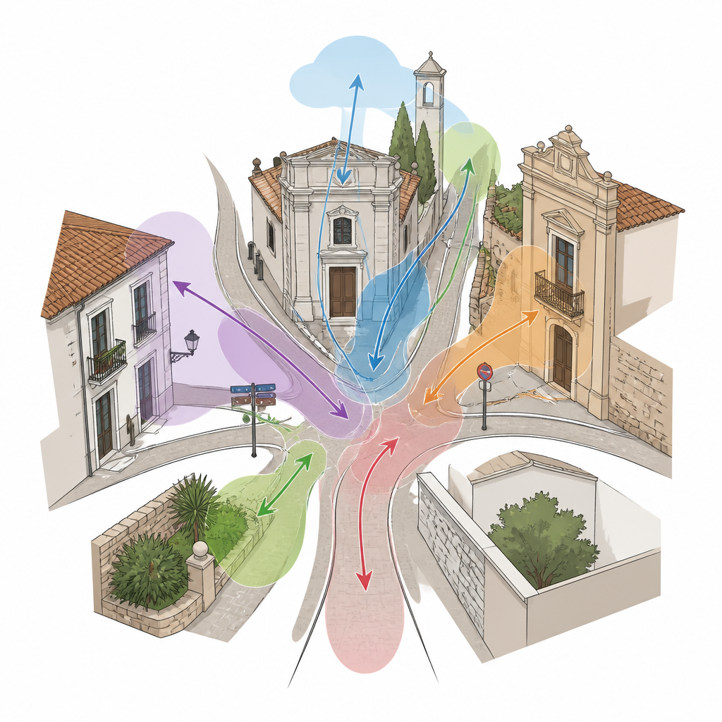
Designing streets with people in mind
By linking what people saw, how their bodies reacted, and which paths they chose, the researchers outlined a practical design recipe for safer heritage tourism areas. At tricky intersections, they suggest simplifying building fronts where possible, placing clear, well positioned emergency signs at eye level, trimming plants so they do not block key views, and avoiding extra structures that crowd the line of sight. Wider openings to the sky and cleaner corners can ease anxiety and help visitors orient more quickly. They also call on residents, site managers, and local government to coordinate drills, digital tools, and smarter signage so that both locals and tourists are better prepared.
What this means for visitors and historic places
For a layperson, the message is straightforward: in a disaster, you look first where the street design leads your eyes. This study shows that in historic tourist districts, ornate buildings, cramped alleys, and uneven signage can nudge people into hesitation or detours, while clear signs, open views, and thoughtful planting can guide them swiftly toward safety. By treating evacuation planning as a human-centered problem, and using eye tracking and image analysis to see the city as people actually see it, heritage destinations can protect both visitors and vulnerable buildings when nature shakes the ground.
Citation: Du, Y., Li, Y., Yang, M. et al. Risk decision-making behavior in heritage tourism destinations based on eye-tracking experiments in Gulangyu, China. Humanit Soc Sci Commun 13, 734 (2026). https://doi.org/10.1057/s41599-026-06869-x
Keywords: heritage tourism, evacuation behavior, eye tracking, disaster risk, wayfinding