Clear Sky Science · en
A bibliometric analysis of the impact of climate change on immovable cultural heritage employing Geographic Information Systems (GIS)
Why old places matter in a warming world
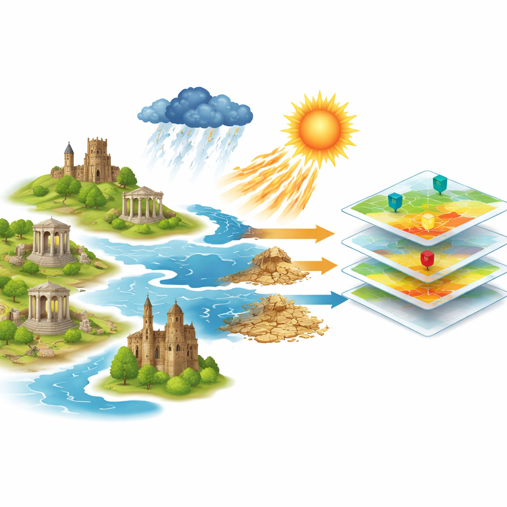
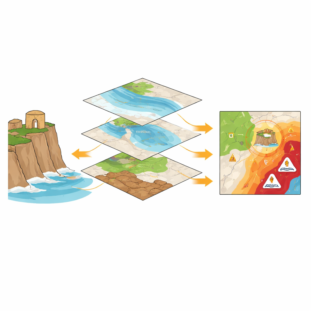
Historic buildings, archaeological sites, and cultural landscapes tell the story of how people have lived with their surroundings for centuries. Today, those same places are increasingly at risk from rising seas, heavier storms, heat waves, and thawing permafrost. This article looks at how researchers use digital maps—known as Geographic Information Systems, or GIS—to understand where climate change threatens immovable cultural heritage and how well current science supports efforts to protect it.
Following the global trail of heritage at risk
The authors assembled and examined 82 scientific publications, all in English, that connect three elements: climate change, fixed heritage sites such as monuments and historic towns, and the use of GIS. These studies, published between 1994 and 2024, were identified through a careful search of the Web of Science database using climate- and heritage-related terms. After removing duplicates and unrelated records, the team checked each paper against strict criteria to ensure it truly dealt with climate impacts on physical heritage and relied on spatial analysis rather than general discussion. This process, following standard review guidelines, produced the first clear map of how this research field has grown and where its main strengths and blind spots lie.
How the research field has grown and where it lives
The analysis shows that work linking climate change, GIS, and heritage has exploded only in the last decade: more than 90 percent of the selected papers appeared after 2014, and citations have risen sharply. Most of this research sits at the crossroads of environmental science, geoscience, and archaeology. Typical studies use GIS to chart coastal erosion near ancient ruins, flood risk around historic city centers, or the vulnerability of buildings to landslides and soil instability. A smaller but important second layer of work draws on water science, remote sensing from satellites and drones, and urban planning, often to refine maps of changing shorelines or river courses. Geographically, a handful of countries—especially Italy, China, the United Kingdom, the United States, Greece, Romania, and Norway—produce most of the publications, while a wide array of institutions contribute only one paper each, suggesting a broad but thin spread of expertise and relatively weak collaboration networks.
What scientists study—and what they often leave out
By looking at authors’ chosen keywords and how they cluster, the study reveals that most projects focus on three big themes: tracking physical change (such as sea-level rise, erosion, and flooding), mapping risk and vulnerability, and using remote sensing to monitor heritage landscapes over time. Many papers combine different hazard layers in GIS to rank which sites are most threatened and to highlight hot spots where multiple dangers overlap. Far fewer studies move from mapping damage to planning responses, such as guiding restoration, shaping building codes, or testing adaptation options. Even rarer are efforts that blend local and Indigenous knowledge with digital data—for example, community mapping of flood-prone sacred places—despite clear examples that this combination can sharpen understanding of what matters most to people on the ground.
Bridging data, people, and policy
The authors argue that the field’s heavy emphasis on physical processes and technical mapping leaves key questions underexplored. Heritage is not only stone and brick; it also carries meanings, practices, and memories that are hard to express in numbers and coordinates. Current GIS-based studies seldom integrate these social and cultural dimensions, nor do they routinely connect local case studies with national statistics or international climate reporting. This gap makes it difficult to feed heritage data into global efforts to track adaptation progress, such as United Nations climate agreements or disaster-risk frameworks. The paper calls for interoperable data platforms that can link heritage inventories with climate and policy information, and for stronger collaboration among scientists, heritage professionals, planners, and communities. New tools—from participatory mapping to artificial intelligence—could help transform rich but scattered knowledge into usable spatial evidence.
What this means for protecting the past
In plain terms, the article concludes that research on climate change and immovable cultural heritage is expanding fast but is still finding its feet. Scientists are becoming very good at using GIS to show where historic places are exposed to storms, erosion, and rising waters, yet they are less advanced at turning these insights into coordinated plans for saving what people value most. To move from warning maps to real-world action, the authors argue, future work must weave together hard data and human stories, link fine-grained local studies with broader monitoring systems, and ensure that heritage is fully recognized in climate adaptation policies. Done well, this will not only help shield treasured sites from harm but also tap the lessons they contain about how societies have weathered environmental change in the past.
Citation: Nicu, I.C., Agapiou, A. & Guzman, P. A bibliometric analysis of the impact of climate change on immovable cultural heritage employing Geographic Information Systems (GIS). Humanit Soc Sci Commun 13, 527 (2026). https://doi.org/10.1057/s41599-026-06760-9
Keywords: climate change, cultural heritage, GIS mapping, risk assessment, adaptation policy