Clear Sky Science · en
Basin-scale inventory and exposure assessment of hanging glaciers, Central Himalaya
Mountains on the Edge
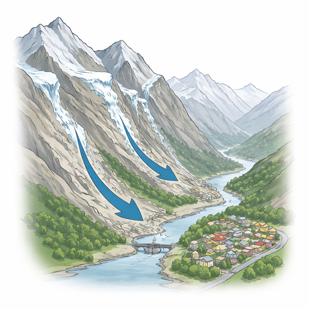
High in the Central Himalaya, some glaciers no longer sit snugly in valleys but cling to near-vertical rock walls. These “hanging glaciers” can suddenly shed large chunks of ice, sending avalanches roaring down into river valleys where towns, roads, and hydropower projects are rapidly expanding. This study focuses on one such region—the Alaknanda River basin in India—to find out where these precarious ice masses are, how big they are, and who and what lies in their path.
Where the Ice Hangs
The researchers mapped the entire Alaknanda basin using high‑resolution satellite images and digital elevation models. They identified 219 hanging glaciers covering about 72 square kilometres—roughly the area of a midsized city—perched between 4,000 and nearly 6,800 metres above sea level. These glaciers are unusually steep, with average surface slopes of around 34 degrees, and many face directions that catch strong sun or monsoon storms. By modelling ice thickness, the team estimated that these glaciers hold about 2.4 cubic kilometres of ice, of which nearly one‑third—around 0.74 cubic kilometres—is in a particularly unstable, “hanging” state.
Different Shapes, Different Dangers
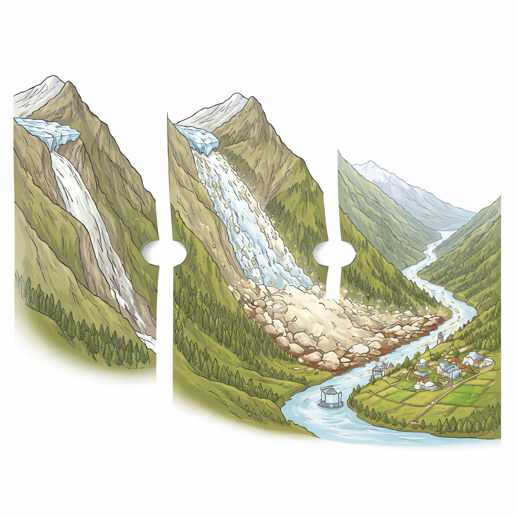
Not all hanging glaciers behave the same way. The authors developed a simple classification based on the underlying rock shape and how the ice tends to crack. “Ramp-slab” glaciers lie on long, steep ramps and can have a large fraction of their ice poised to fall; “terrace-slab” glaciers rest on step-like ledges with smaller overhanging fronts; “terrace-wedge” glaciers end in small ice cliffs that chip away in smaller pieces. Most of the mapped glaciers are ramp-slab or terrace-slab types, while terrace-wedge glaciers are rare. The Vishnuganga sub-basin in the Upper Alaknanda stands out: it hosts about a third of all hanging glaciers and about 40 percent of their total ice volume, making it a concentration zone of potential instability.
How Much Ice Can Fall, and Where
To understand the real-world threat, the team zoomed into a particularly sensitive sector that includes the pilgrimage town of Badrinath, nearby Mana village, trekking routes, and hydropower facilities. Using a physics‑based avalanche model, they simulated a worst‑case scenario in which the entire unstable portion of 25 selected hanging glaciers collapses. The model suggests that ice and debris could rush down narrow valleys and reach major settlements and roads, with flow heights of tens of metres—up to about 50 metres at Badrinath and along the Badrinath–Mana highway, and even higher in upstream valleys. While many hanging glaciers overlie larger trunk glaciers and mainly threaten ice downstream, a significant number sit above bare rock valleys and river gorges where any large collapse would directly impact people and infrastructure.
Growing Towns, Growing Exposure
Ice avalanches become disasters only when something valuable is in their way, and in the Alaknanda basin that “something” is rapidly multiplying. By combining their avalanche simulations with global maps of buildings and population from 2000 to projected conditions in 2030, the authors show a sharp rise in exposure. In their sample area, built‑up surfaces within potential runout zones increase from about 8,000 square metres to more than 150,000 square metres over three decades, while the exposed population jumps from roughly 380 to over 8,500 people. The corridor between Badrinath and Mana is especially striking: here, exposed building area grows nearly forty‑fold, and exposed population rises by a similar factor. Expansion of roads, croplands, and tourist facilities at higher elevations pushes communities ever closer to unstable slopes.
Living with Unstable Ice
The study concludes that hanging glaciers in the Alaknanda basin represent a basin‑wide ice inventory and hazard source that can no longer be treated as isolated curiosities on distant peaks. Although more detailed modelling and on‑site monitoring are still needed, the new inventory pinpoints where unstable ice is concentrated and how its runout paths intersect with growing settlements, roads, and hydropower projects. For lay readers, the message is clear: as the climate warms and mountain towns grow upward into glaciated terrain, planning, early‑warning systems, and careful monitoring of key hanging glaciers will be essential to prevent rare but potentially devastating avalanches from becoming future disasters.
Citation: Krishnan, N., Sattar, A., Kulkarni, A.V. et al. Basin-scale inventory and exposure assessment of hanging glaciers, Central Himalaya. npj Nat. Hazards 3, 44 (2026). https://doi.org/10.1038/s44304-026-00205-8
Keywords: hanging glaciers, Himalayan avalanches, Alaknanda basin, climate change, mountain hazards