Clear Sky Science · en
Global urban exposure near volcanoes is increasing: a spatio-temporal analysis from 1975 to 2030
Why Cities and Volcanoes Matter to Everyday Life
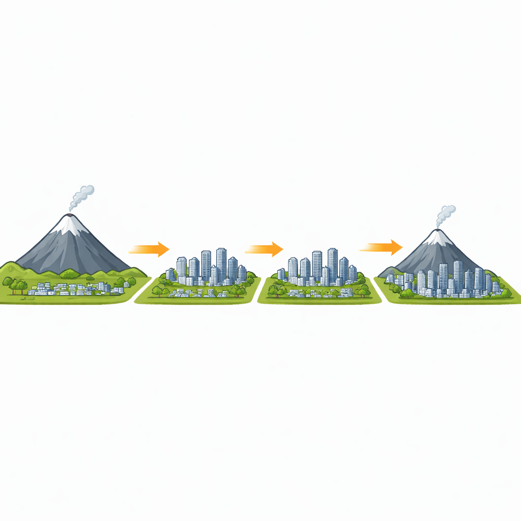
More and more people are moving to cities, and many of those cities sit surprisingly close to active volcanoes. This study tracks how urban areas around the world have grown near volcanoes over the last half-century and where they are heading by 2030. Understanding these patterns matters because a single eruption can disrupt homes, roads, power, water, jobs, and even national economies—far beyond the volcano itself.
Where People Are Living Near Volcanoes
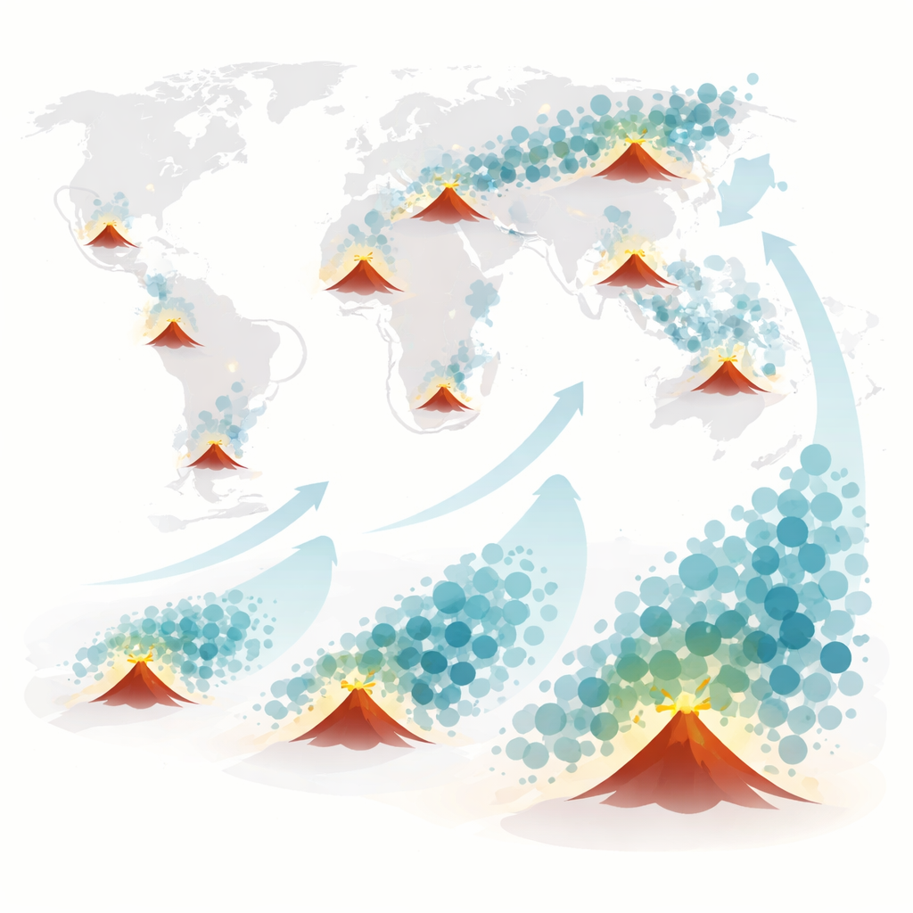
The researchers examined 1,264 volcanoes that have been active in the last 11,000 years and all cities within 100 kilometers of them. Using detailed global maps of population and built-up areas from 1975 to 2020, plus projections for 2025 and 2030, they counted how many cities and how many people fall within set distance bands around each volcano. Today, about 853 million people live within 100 kilometers of these volcanoes, and roughly half of them live in cities. That share has grown from 44% in 1975 and is expected to reach about 52%—some 473 million city residents—by 2030. Over this period, the number of exposed cities is projected to more than double, from 582 to 1,196, while their combined population grows by 154%.
How Far from the Crater People Tend to Settle
People do not spread evenly around volcanoes. Globally, the largest numbers of city dwellers live 20 to 30 kilometers away—close enough to be reached by serious eruptions, but not right on the slopes. City populations within this band are expected to rise from about 25 million in 1975 to nearly 62 million in 2030. Very few city residents live within 10 kilometers of a volcano, and where they do, they are often on small islands or in land-constrained settings. The study also shows that city neighborhoods farther from volcanoes tend to be more crowded than those closer in: since 2000, the highest average city densities are usually 70 to 80 kilometers away, while areas within 10 kilometers remain relatively sparse. This suggests that both natural limits (like steep slopes and exclusion zones) and planning rules have kept the highest densities away from the most dangerous zones.
Hotspots of Growth and Rising Exposure
Volcano–city overlaps are not evenly spread across the globe. Southeast Asia and East Asia currently account for the largest share of exposed city populations, with Indonesia, Japan, and the Philippines standing out. African regions, especially East Africa around cities like Addis Ababa, show some of the fastest growth in recent decades. In Mexico and Central America, big cities such as Mexico City and San Salvador already host large populations relatively close to volcanoes; growth there is now slowing or shifting outward. Overall, about 85% of cities near volcanoes have expanded their built-up area since 1975, and nearly 60% have become denser in at least one five-year period. For many cities that straddle several distance bands, roughly half are growing preferentially toward their nearby volcanoes, rather than equally in all directions.
Local Stories Behind the Global Numbers
To illustrate what these trends look like on the ground, the study zooms in on nine cities including Jakarta and Bandung in Indonesia, Manila in the Philippines, Tokyo in Japan, Naples in Italy, Quito in Ecuador, San Salvador in El Salvador, and Addis Ababa in Ethiopia. In coastal megacities like Jakarta, Manila, and Naples, urban growth is squeezed between volcanoes and the sea, pushing dense neighborhoods into zones that could be hit by lava flows, ash, or mudflows. In San Salvador, informal housing has crept up volcanic slopes where land is cheaper, despite known dangers. In Addis Ababa and Quito, expansion follows roads and mountain valleys, sometimes steering people into or away from likely flow paths. By combining city outlines over time with typical wind directions and topography-based flow paths, the authors show how roads, tourism development, and housing shortages can nudge growth into harm’s way even where hazards are well known.
What This Means for Future Eruptions
The study focuses on exposure—where people and buildings are—rather than on full risk, which also depends on building strength, emergency planning, and social vulnerability. Still, the message is clear: if current trends continue, more people, infrastructure, and tightly linked city networks will lie in the path of volcanic hazards. This raises the chances that future eruptions will disrupt not just nearby towns, but whole regions through damaged roads, power lines, ports, and supply chains. The authors argue that global maps of how cities are expanding toward volcanoes can help governments and planners decide where to tighten land-use rules, guide new housing and infrastructure, and prioritize detailed local hazard studies. In places where moving away is not realistic, they suggest that smarter design, stronger buildings, and coordinated evacuation and monitoring will be crucial to keep growing cities safer in the shadow of volcanoes.
Citation: Meredith, E.S., Teng, R.X.N., Jenkins, S.F. et al. Global urban exposure near volcanoes is increasing: a spatio-temporal analysis from 1975 to 2030. npj Nat. Hazards 3, 40 (2026). https://doi.org/10.1038/s44304-026-00203-w
Keywords: volcanic hazards, urban growth, disaster risk, population exposure, city planning