Clear Sky Science · en
A spatiotemporal dataset of farmland rent aligned with farming seasons across China 2021–2025
Why the Price of Farmland Matters
Behind every bowl of rice or slice of bread lies a quiet market: the rent farmers pay to use land. In China, where over a billion people depend on limited arable land, knowing how much farmland actually rents for is crucial for fair deals, smart investment, and stable food supplies. Yet until now, there has been no clear, nationwide picture of these prices. This study introduces a new open dataset that, for the first time, traces parcel-level farmland rents across most of China over several years, helping researchers and decision‑makers understand how land is used and valued on the ground.
Building a Clearer Picture of China’s Farmland
China’s countryside has been undergoing a quiet transformation. As workers move to cities and farms grow larger, many smallholders now lease out their plots to other operators. A recent policy known as the “separation of three rights” allows village collectives to keep ownership, households to hold contracts, and other farmers or businesses to lease the right to operate the land. This has encouraged farmland to be pooled into bigger, more efficient operations. By 2023, more than a third of all contracted farmland had been transferred in this way. Yet these transactions often happen through personal networks and private bargaining rather than open markets, making rents uneven and hard to compare across regions.
From Scattered Deals to a National Map
Existing data sources have serious blind spots. Commercial land‑listing websites depend on self‑reported information of mixed reliability. Government exchange centers mostly record large, formal deals and miss countless small, informal ones. National surveys tend to hide exact locations or merge individual plots into broad averages. To close this gap, the Center for Land Policy and Law at China Agricultural University launched the China Farmland Rent Survey in 2021. Over eight survey waves from 2021 to 2025, trained university students returned to their hometowns across 27 provinces, interviewing local farmers face‑to‑face during winter and summer breaks—exactly when leases are renewed and rents are set. These efforts yielded 7,237 carefully checked records from 191 cities and 422 counties, each tied to a specific parcel and set of contract terms.
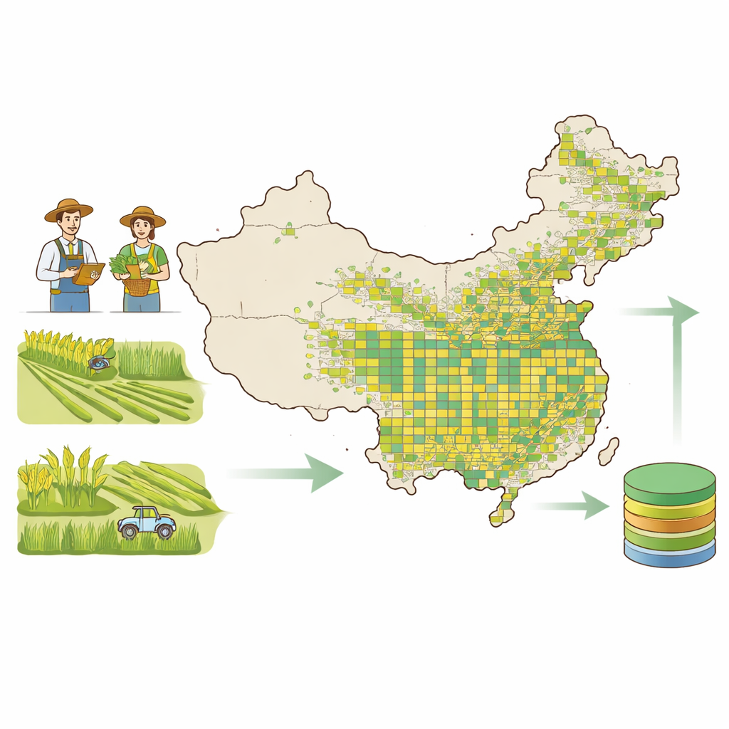
How the Data Were Collected and Checked
The survey used a standardized online questionnaire to capture four main types of information: who was renting the land, how the agreement was structured, how rent was paid, and where exactly the parcel was located. Respondents included smallholder families, larger family farms, cooperatives, enterprises, and village collectives. Enumerators accessed the form on their phones, helped farmers answer each item, and took geotagged photos of the fields to anchor every record in space and time. Before full deployment, experts reviewed the questionnaire and a pilot survey tested whether questions were clear and realistic for farmers. Only after several rounds of refinement did the team roll it out nationwide.
Turning Raw Responses into Reliable Insights
Collecting answers was only the first step; the team then put the data through a strict quality‑control pipeline. Built‑in rules within the questionnaire prevented obvious contradictions—for example, ensuring that area and rent were non‑negative and that certain answers could not occur together. After fieldwork, the researchers checked every field against a data dictionary, searched for inconsistent combinations, and contacted enumerators to resolve suspicious entries. Duplicates were removed, unusual values were flagged by county and survey wave, and seven separate survey waves were harmonized into a single structure with standardized units and categories. The final product includes both a combined main file and wave‑by‑wave files, plus bilingual data dictionaries and documentation so that others can easily use and interpret the dataset.
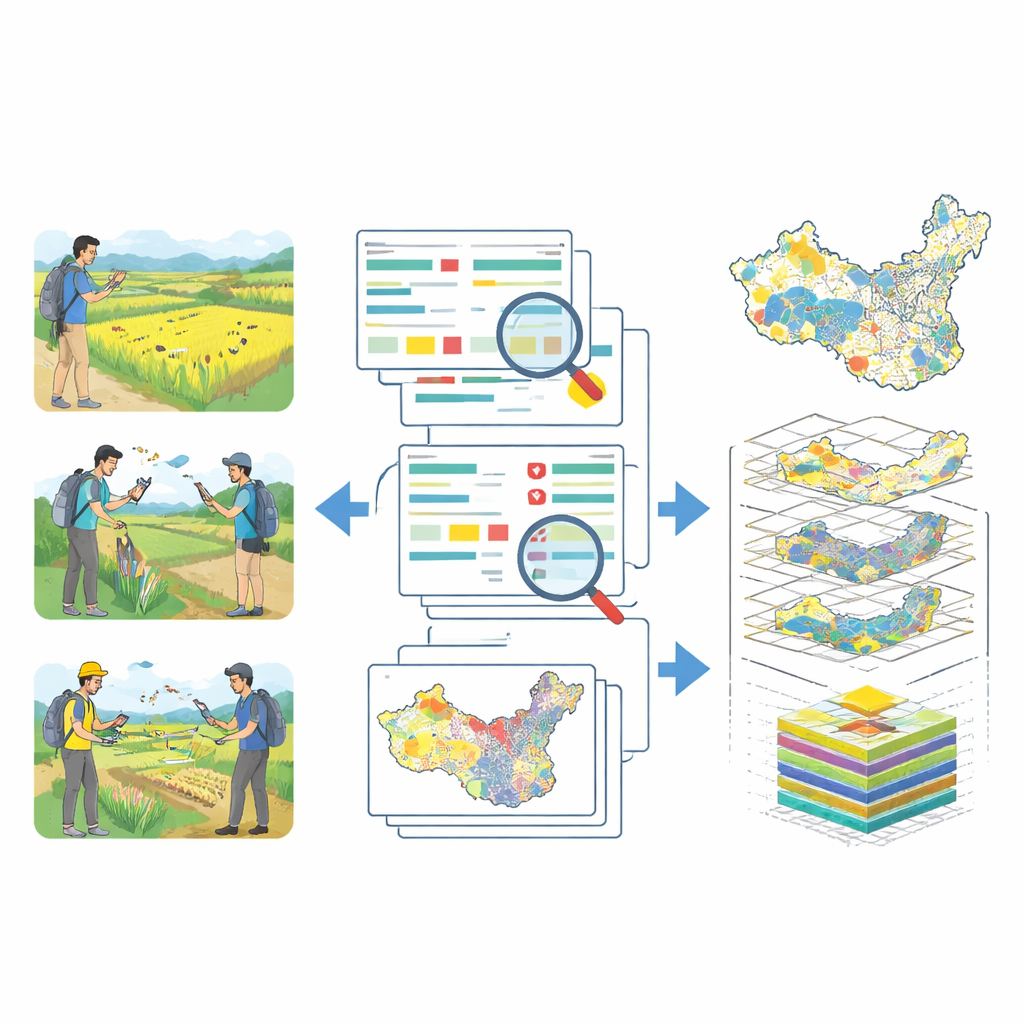
What the Patterns Reveal on the Ground
With each record tied to real‑world coordinates, the dataset can reveal how rent varies across China’s landscapes. Maps of rent levels from 2021 to 2025 confirm strong spatial patterns: high‑rent “hot spots” cluster around peri‑urban belts and highly productive farming zones, while low‑rent “cold spots” appear in mountainous and less‑developed regions. Over time, the data show a modest decline in average rents after the COVID‑19 period and a tightening of the range of prices, suggesting a gradually more stable land‑rental market. The distribution of operator types in the sample closely tracks official national statistics on smallholders, family farms, cooperatives, and enterprises, indicating that the survey reflects the real structure of China’s farming sector.
How This Resource Can Be Used—and Its Limits
The authors stress that this is not a perfect national headcount of every land deal; rather, it is a rich, carefully assembled sample that captures how rents differ across space, time, and contract types. Because there is no mandatory national registry of transfers, the survey could not draw a classic random sample. Instead, it uses a clustered design based on enumerators’ home regions, which is well suited for analyzing local differences and trends. Researchers can combine these parcel‑level rents with other information on climate, soil, infrastructure, or nearby cities to study how prices form and how land policies play out on the ground. At the same time, the dataset does not track non‑rented land or full household wealth, so users should be cautious when drawing conclusions about broader rural inequality or total farm holdings.
Why This Dataset Matters for Everyday Life
By turning thousands of scattered, largely invisible lease agreements into a public, parcel‑level map of farmland rent, this work shines new light on the foundations of China’s food system. The dataset makes it easier to spot where land is undervalued or overpriced, where markets are working smoothly, and where policies might need adjustment. For citizens, it offers a rare window into how the land that feeds them is managed and traded; for researchers and officials, it provides a shared factual base for debates over rural development, environmental planning, and food security. In simple terms, the study delivers a trustworthy yardstick for the price of farmland across China—and a new tool for making sure that both farmers and consumers can benefit from a more transparent land market.
Citation: Xing, Q., Zhu, S., Zhu, D. et al. A spatiotemporal dataset of farmland rent aligned with farming seasons across China 2021–2025. Sci Data 13, 654 (2026). https://doi.org/10.1038/s41597-026-07040-6
Keywords: farmland rent, China agriculture, land transfer, rural development, spatial dataset