Clear Sky Science · en
Geo-located attendance data for CITES Conferences of the Parties
Why Who Shows Up to Wildlife Meetings Matters
When countries gather to decide how much ivory, exotic wood, or rare reptiles can be traded, the people in the room shape what happens next for threatened species. Yet until now, no one had a clear, detailed record of who actually attends the big global meetings that govern this trade. This article introduces the first comprehensive, anonymized, and map-ready dataset of everyone who has taken part in nearly 50 years of decision-making under CITES, the Convention on International Trade in Endangered Species of Wild Fauna and Flora. 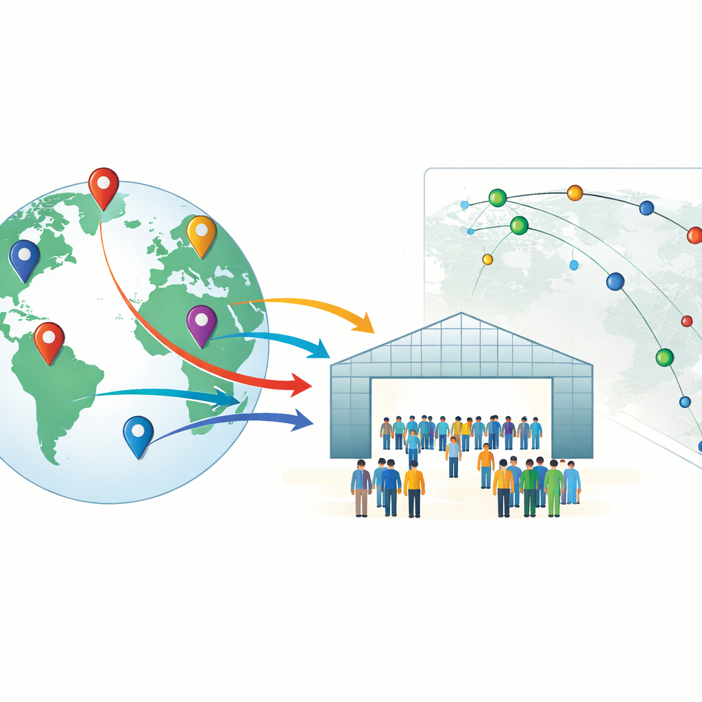
A Global Treaty at the Heart of Wildlife Trade
CITES is the main international agreement that tries to ensure global trade does not push wild animals and plants toward extinction. Since the mid-1970s, almost every country has joined. Every two or three years, government delegates and observers from organizations, industry, and advocacy groups gather at Conferences of the Parties (CoPs) to debate rules on trade in more than 40,000 species. These meetings are the place where species are moved onto or off protected lists, and where countries review how well the treaty is being carried out. Despite this central role, researchers, journalists, and advocates have not had basic, consistent information on who attends these negotiations, where they come from, or how those patterns change over time.
Turning Messy Meeting Lists into Usable Information
The authors set out to fill this gap by assembling attendee records for all 20 CITES CoPs held between 1976 and 2025. They gathered 30 official attendance rosters released by the CITES Secretariat, most as PDFs from the treaty’s website and one early list from archives. These documents looked very different from one year to the next: some were scanned images, others neat digital tables; some had a single long column of names, others two or more; the amount of detail on affiliations, addresses, and titles also varied widely. Using a mix of optical character recognition for scanned pages and a Python tool that reads the exact position and style of every word, the team built a flexible pipeline that could detect country or organizational headings, separate individual people into records, and keep track of whether each attendee represented a voting country (a Party) or an observer group.
Adding Places, Distance, and Demographics
Once individual attendee blocks were extracted, the authors classified the text into core pieces of information: which delegation someone belonged to, any honorific title, the person’s name, and their organizational affiliation. Names were then standardized and replaced with cryptographic hashes, creating anonymous but consistent IDs that prevent the original names from being recovered. The team used affiliation text—such as town and country names—to look up approximate latitude and longitude for many attendees, relying on public map services. To protect privacy, they deliberately blurred pinpoint locations to city, state, or country centroids and recorded how precise each coordinate is. They also measured how far each attendee traveled by calculating the distance between their affiliation’s location and the host city of the meeting. Finally, they inferred gender for most participants using a specialist name-based tool, cross-checking it against cases where gender-specific titles like “Mr.” or “Ms.” were available to ensure reasonable accuracy. 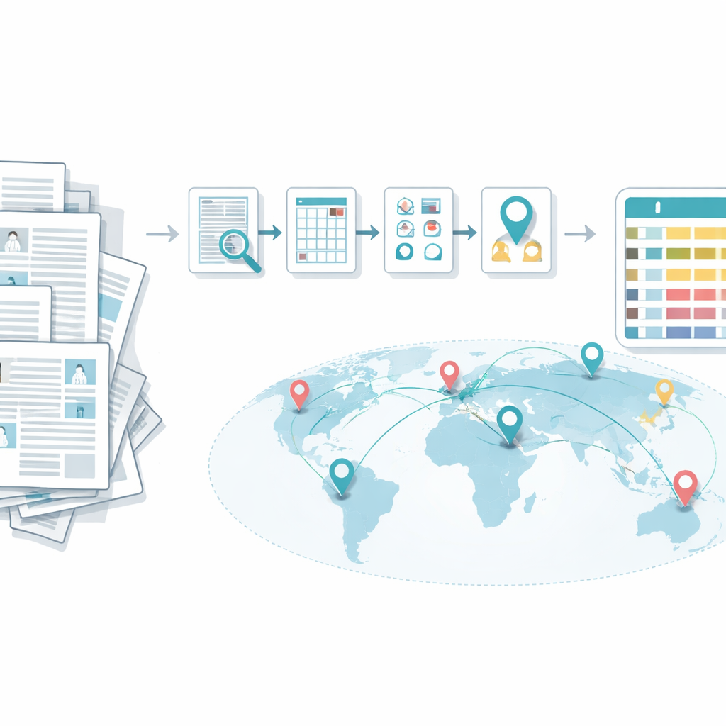
What the Final Dataset Contains
The result is a public CSV file with 20,297 attendee records covering all CITES CoPs to date. For each entry, the dataset includes the meeting number, year, and host city; whether the attendee came from a Party delegation or an observer group (with finer categories such as non-governmental organizations or the private sector in recent years); the standardized delegation name; an anonymous person identifier; and affiliation text with contact details stripped out. It also provides geolocation coordinates and an indicator of their precision level, the distance traveled to the meeting, binary flags for Party versus observer status, gender indicators derived from honorifics and algorithmic predictions, and common country codes for those representing states. The authors report that around 90 percent of tested location assignments are correct at least to the country level, and that automated gender labels match honorific-based labels in more than 92 percent of cases.
New Ways to Study Power and Presence in Wildlife Talks
This new dataset does not judge whether CITES is succeeding or failing, but it makes it much easier to study how representation and influence may relate to conservation outcomes. Researchers can now ask which countries show up consistently, which regions or types of organizations are underrepresented, how far people travel to attend, and how participation networks among governments, UN agencies, and NGOs have evolved over five decades. Because the data are geo-located and anonymized, they can also support spatial and network analyses without exposing personal identities. In essence, the article turns scattered, messy attendance lists into a clean, reusable resource that helps illuminate who has a seat at the table when the world decides the future of wildlife trade.
Citation: Blinova, D., Emuru, G., Emuru, R. et al. Geo-located attendance data for CITES Conferences of the Parties. Sci Data 13, 493 (2026). https://doi.org/10.1038/s41597-026-06799-y
Keywords: CITES, wildlife trade, international negotiations, attendance data, geospatial analysis