Clear Sky Science · en
Changes in the impact of tropical basin interactions on Cape Verde tropical cyclogenesis
Why shifts in distant seas matter for Atlantic storms
Hurricanes that begin near the Cape Verde Islands, off West Africa, often grow into the biggest and longest-lived storms in the Atlantic, with impacts that can reach the Caribbean, the United States, and West Africa’s coast. For decades, scientists have used sea-surface temperatures in the tropical Pacific and Atlantic to anticipate how active a hurricane season might be. This paper asks a crucial question: as the climate warms and ocean patterns change, are those once-reliable signals still good guides to when and where Cape Verde storms will form?
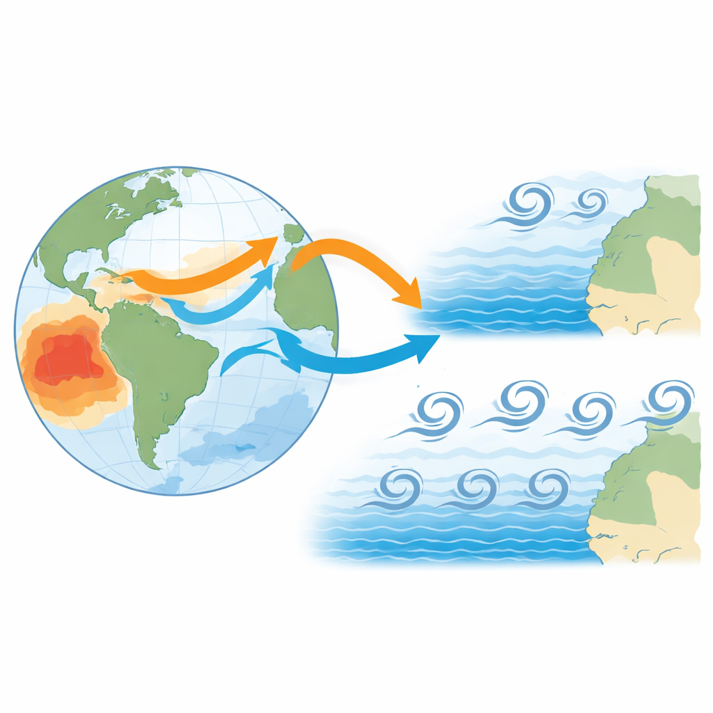
Storm nurseries in a changing ocean
The study focuses on the "Main Development Region" of the Atlantic, where many powerful hurricanes are born, and zooms in on the eastern part near West Africa, close to Cape Verde. There, clusters of thunderstorms ride westward on atmospheric ripples called African easterly waves, sometimes spinning up into tropical cyclones. Earlier research linked year-to-year changes in storm counts to well-known climate patterns: El Niño and La Niña in the Pacific, the Atlantic Niño in the equatorial Atlantic, and overall warmth in the tropical North Atlantic. These patterns influence where rising air, moisture, and wind shear line up to either nurture or suppress storms.
A tale of two time periods
Using data from 1979 to 2022, the authors split the record into two eras: an earlier period (1979–1998) and a more recent one (2003–2022). In the earlier decades, they find strong and fairly stable links between sea-surface temperature anomalies and the number of storms forming near Cape Verde. Years with a cool central Pacific (La Niña) and a warm equatorial Atlantic (Atlantic Niño) tended to produce more storms, while the opposite combination produced fewer. These ocean patterns were tied to vigorous upward motion in the atmosphere over the eastern Atlantic and to enhanced African easterly wave activity in the southern track over West Africa—conditions that helped thunderstorms organize into cyclones.
When the old signals fade
After the early 2000s, the picture changes sharply. Although the total number of tropical cyclones in the Atlantic rises on average, the tight connection to tropical Pacific and Atlantic temperature patterns weakens or disappears for the Cape Verde region. The atmosphere still shows more energetic wave activity overall, and the tropical North Atlantic is warmer, but year-to-year swings in storm counts no longer line up cleanly with El Niño, La Niña, or the Atlantic Niño. Instead, modest warming in other regions, such as the Indian Ocean and areas of the western Atlantic, appears during busy years, and the large-scale circulation patterns associated with storm formation become more diffuse and shifted northward.
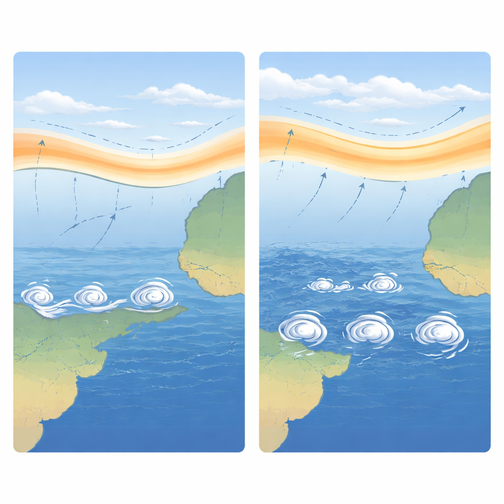
Waves, winds, and a moving storm corridor
The authors trace this shift to changes in the background climate. In the later period, the northern tropical Atlantic is warmer and the belt of heavy rain and moisture over Africa is displaced northward, along with the African easterly jet that helps generate storm-bearing waves. This northward move appears to weaken the tight coupling between these waves and deep thunderstorms over the traditional Cape Verde "nursery." At the same time, there is more wave energy available overall, so these disturbances may no longer be the limiting ingredient for storm formation. As a result, the storms’ preferred tracks and the regions where waves feed directly into cyclones seem to shift, and the once-clear imprint of Pacific and equatorial Atlantic temperature swings on Cape Verde storm counts largely fades.
What this means for future storm forecasts
For a layperson, the key message is that the climate "remote controls" we used to watch—like El Niño or a warm equatorial Atlantic—are becoming less reliable for predicting how many storms will emerge near Cape Verde, even as the overall environment becomes more favorable for cyclones. The study suggests that global warming and longer-term ocean cycles may be reshaping where and how large-scale climate patterns steer storm formation. That makes seasonal forecasts for this crucial hurricane nursery more uncertain and highlights the need for new, region-specific indicators to anticipate Cape Verde–type storms in a changing climate.
Citation: Badiane, A., Losada, T., Rodríguez-Fonseca, B. et al. Changes in the impact of tropical basin interactions on Cape Verde tropical cyclogenesis. npj Clim Atmos Sci 9, 97 (2026). https://doi.org/10.1038/s41612-026-01332-9
Keywords: Cape Verde hurricanes, tropical Atlantic cyclones, El Niño and La Niña, Atlantic Niño, African easterly waves