Clear Sky Science · en
Seasonal progression of melt and snowlines in Alaska from SAR reveals impacts of warming
Why These Hidden Ice Boundaries Matter
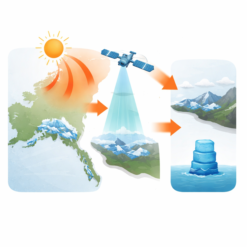
High up in Alaska’s mountains, the line between bright snow and darker, bare ice is quietly on the move. That shifting boundary, invisible to most of us, helps determine how much water flows to rivers, how fast seas rise, and how quickly the climate is changing. This study uses radar images from space to watch those lines advance and retreat across almost all of Alaska’s glaciers, revealing how sensitive they are to warmer summers and intense heat waves.
Watching Glaciers Through the Clouds
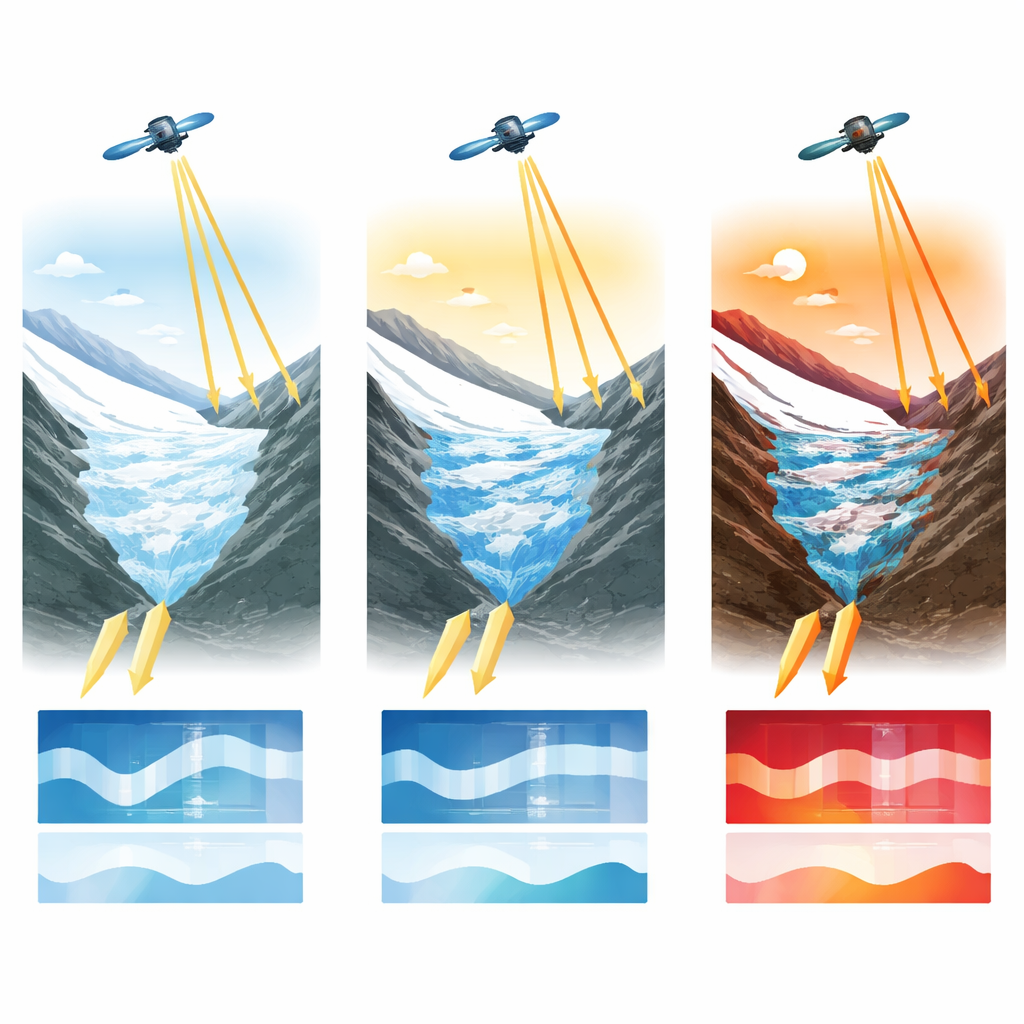
Most satellite views of glaciers rely on visible light, much like a camera. Those images are easily blocked by clouds, long winter nights, or heavy shadows in steep terrain. The researchers instead turn to synthetic aperture radar (SAR), a type of satellite sensor that sends out radio waves and measures the returning signal. SAR works day or night and can see through clouds, making it ideal for the often stormy, dark conditions over Alaska. By analyzing how strongly the radar signal bounces back from the surface, the team can tell where snow is dry, where it has become wet and slushy, and where it has melted away to expose underlying ice or rock.
Mapping Melt Across an Enormous Ice Region
Using data from the European Sentinel‑1 satellites, the authors track seasonal melt and snowlines for 3023 glaciers larger than 2 square kilometers, representing 99% of Alaska’s sizable glaciers and most of the state’s glacier-covered area. From mid‑2016 to 2024, they build a time series showing, for each glacier, when melting begins, how long it lasts, and how far up the glacier the snowline climbs. To compare very different glaciers fairly, they introduce a simple but powerful measure called “glacier melt days,” which combines how much of a glacier is melting with how long the melt persists. For example, a full glacier melting for one day or half a glacier melting for two days both add up to one melt day.
Regional Patterns in a Warming Arctic
The radar record reveals large contrasts across Alaska. Glaciers along the coast, bathed in a relatively warm and wet maritime climate, start to melt as early as April and can rack up nearly 200 melt days per year. Interior glaciers in colder, drier ranges may not begin melting until late May or June and typically see only 50 to 120 melt days. Even within a single mountain chain, glaciers facing the ocean tend to melt for about three weeks longer than those on the inland side. Morning and evening radar passes further show daily freeze–thaw cycles: in many areas, melt that appears in the evening has partly refrozen by the following morning, revealing how close these snowpacks are to their refreezing limits.
Heat Waves and the Climbing Snowline
One of the clearest signals in the new data is the impact of the 2019 summer heat wave. During just a few weeks in late June and early July, unusually warm air swept over almost all of Alaska’s glacier regions. The radar-based maps show snowlines racing uphill much earlier than usual, exposing up to 28% more bare glacier surface in some subregions compared with typical years and in some individual glaciers more than one third of their area. Because bare ice is darker than snow, this early exposure makes glaciers absorb more sunlight and lose more mass, a feedback that speeds up their decline. Across the study period, the authors find that each extra degree Celsius of summer warming adds several to more than ten days of additional glacier melt, and during heat waves, each degree can uncover 1–4% more glacier area.
A New Lens on Future Glacier Loss
The study shows that radar satellites can track snowlines and melt on remote glaciers with high accuracy, close agreement with optical methods, and without being hampered by clouds or darkness. This near‑continuous record gives climate scientists a powerful new way to test and improve computer models that predict glacier change and future sea‑level rise. For non‑specialists, the message is straightforward but sobering: Alaska’s glaciers are already highly sensitive to small temperature increases, so every fraction of a degree of additional warming translates into more days of melt, earlier loss of snow cover, and faster ice shrinkage. The same radar‑based approach can now be applied around the world, turning once‑hidden changes in mountain ice into clear, timely warnings about our warming planet.
Citation: Wells, A., Rounce, D.R. & Fahnestock, M. Seasonal progression of melt and snowlines in Alaska from SAR reveals impacts of warming. npj Clim Atmos Sci 9, 95 (2026). https://doi.org/10.1038/s41612-026-01321-y
Keywords: Alaska glaciers, snowline change, satellite radar, climate warming, sea level rise