Clear Sky Science · en
Subseasonal variability of the winter North Atlantic jet stream has decreased due to climate change
Why winter winds over the Atlantic matter
The jet stream over the North Atlantic—an invisible river of fast-moving air high above the ocean—acts like a traffic controller for storms heading toward Europe. Where this jet flows, and how much it wriggles north and south, helps determine whether a given winter brings soaking rains, biting cold, or mild grey days. This study asks a deceptively simple question with big consequences: as the climate warms, is the day‑to‑day behavior of this winter jet stream changing, and what does that mean for European weather?
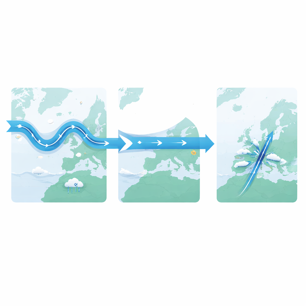
A steadier high‑altitude wind highway
Using detailed weather reconstructions back to 1950, the authors track three basic traits of the winter jet over the North Atlantic: where it sits (its latitude), how slanted it is from southwest to northeast (its tilt), and how fast it blows. Rather than looking only at seasonal averages, they focus on how much these traits fluctuate from day to day within each winter. They find that the jet’s north–south wanderings have become noticeably less erratic, with the typical range shrinking by about 18 percent since 1950. Its tilt has also become less changeable, by about 14 percent. In contrast, the variability of the jet’s speed has not shown a clear long‑term trend. In other words, the winter jet still speeds up and slows down, but its position and slant have become more locked in from week to week.
Shifting patterns of rain, snow, and temperature
What happens on the ground when the overhead jet behaves in a more confined way? By comparing winters when the jet’s latitude varied a lot with winters when it stayed almost fixed, the study links changes high in the atmosphere to everyday weather. Winters with unusually low jet wandering tend to bring more erratic rainfall to northern Europe—more frequent swings between dry and very wet days—and less rainfall variability over southern Europe and Greenland. In the north, this translates into a boost in heavy precipitation events that exceed what would be expected from changes in seasonal average rainfall alone. At the same time, surface temperatures across much of Europe become less variable from day to day in low‑variability winters, with especially fewer cold extremes. Part of this smoothing of temperature swings is tied to generally warmer winter conditions when the jet is more stable.

Storm tracks, blocking highs, and the new normal
The study also traces how these atmospheric changes reorganize the pathways of storms. When the jet’s latitude and tilt fluctuate less, the main storm track over the North Atlantic intensifies along its central corridor but weakens at its northern and southern edges. Fewer storms are steered toward the far north or south; instead, more are funneled repeatedly across a narrower zone. Meanwhile, sluggish high‑pressure systems that can "block" the usual west‑to‑east flow—often responsible for prolonged cold spells or dry periods—become less frequent over regions like Greenland, the United Kingdom and Scandinavia. These shifts together paint a picture of a winter circulation that is more zonal and streamlined, with storms taking a more repetitive path and fewer dramatic swings in where weather systems set up.
What climate models say about past and future
To understand whether human‑driven climate change is behind these patterns, the authors examine large collections of simulations from modern climate models. Across 11 model ensembles, the average behavior shows a decline in winter jet latitude and tilt variability since 1950, consistent with observations—but the modeled decrease is typically about four times weaker than what the data show. This mismatch could mean that models underestimate how strongly the jet responds to greenhouse gases, or that they fail to fully capture slow, natural swings in the Atlantic climate system that may have amplified the observed trend. Looking ahead under a high‑emissions pathway, the same models almost unanimously project that the jet’s latitude and tilt variability will continue to decline through the 21st century, potentially reaching reductions of roughly one‑quarter to one‑third below mid‑20th‑century levels, while speed variability still shows no consistent long‑term change.
Why a calmer jet still matters
The authors argue that the increasingly steady winter jet stream is tied to a stronger average jet and a tendency toward a more positive phase of the North Atlantic Oscillation, a well‑known pattern associated with milder, wetter winters in parts of northern Europe. Influences from the neighboring North Pacific, where the jet has also been shifting, may further suppress North Atlantic wavering. A jet that meanders less can be seen as staying closer to its usual path, leading to fewer extreme excursions that once delivered exceptional cold snaps, droughts, or flooding to regions on the fringes of the storm track. Yet the same narrowing can heighten heavy rainfall where storms are now more tightly focused, while reducing day‑to‑day temperature swings and potentially improving short‑term forecast skill. In simple terms, climate change appears to be sculpting a winter storm highway over the North Atlantic that is straighter and more predictable, but whose impacts on European societies—from flooding and water resources to energy demand and transport—will be anything but simple.
Citation: Vacca, A.V., Perez, J., Bellomo, K. et al. Subseasonal variability of the winter North Atlantic jet stream has decreased due to climate change. Commun Earth Environ 7, 382 (2026). https://doi.org/10.1038/s43247-026-03423-0
Keywords: North Atlantic jet stream, European winter weather, climate change, storm tracks, atmospheric circulation