Clear Sky Science · en
Geographic constraints shape urban and economic growth worldwide
Why the Shape of the Land Shapes the Shape of Cities
When we think about why cities grow, we usually point to people, jobs, and policies. This study shows that something more basic quietly steers the fate of urban areas worldwide: the land itself. Mountains, coastlines, rivers, and steep slopes do more than decorate city skylines—they determine how far a city can spread, how high it must build, and even how fast its economy can grow. By tracking thousands of cities over three decades, the authors reveal how these natural boundaries push urban growth in surprisingly consistent ways across the globe.
Reading the Planet’s Imprint on City Maps
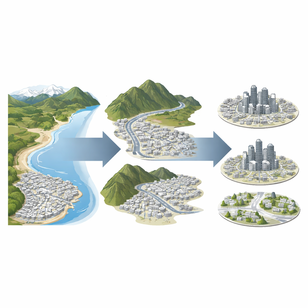
The researchers assembled a global picture of urban change from 1990 to 2020, studying 7,385 cities using satellite maps of built-up land, population, and economic output. They focused on two kinds of natural obstacles: water bodies such as seas, lakes, and rivers, and rugged terrain with steep slopes. To make these constraints comparable from one city to another, they built two simple indicators. One measures how much of the land surrounding a city is basically off-limits for development because it is too steep or underwater—the “share of barriers.” The other, called “nonconvexity,” captures how these obstacles slice the remaining buildable land into separate pockets, producing irregular, corridor-like or patchy spaces for future growth.
How Constraints Change the Way Cities Grow
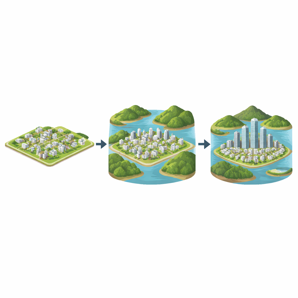
Across continents, cities with more natural barriers turned out to grow very differently from those on open plains. Where the surrounding land was heavily blocked or cut into pieces, cities tended to expand more slowly outward, had smaller physical footprints, and added fewer people and less total economic output over time. Yet they did not stop growing altogether. Instead, they adapted by building upward and packing more activity into the space they had. These constrained cities showed higher average building heights, greater population density, and more intricate, irregular outlines as development traced the gaps between hills, coasts, and rivers.
North, South, and a Converging Squeeze
The study also compared broad patterns between the Global North and Global South. Cities in wealthier countries generally started the 1990s with more severe geographic limits—they had already filled up the easiest land and were pressing against coasts and mountains. Cities in developing regions, by contrast, had more room to spread at first. Over the next 30 years, however, many of these fast-growing Southern cities expanded into tougher terrain. Their levels of constraint and fragmentation climbed rapidly, narrowing the gap with the North. As a result, more and more cities worldwide now face similar physical ceilings on how far they can expand horizontally, nudging them toward denser and taller forms of growth.
When Barriers Help and When They Hurt
Interestingly, the geometry of the constraints often mattered more than their sheer amount. Cities where obstacles formed a kind of broken cage—surrounding them from multiple sides and breaking up nearby land—experienced especially sharp slowdowns in outward growth. At the same time, these conditions encouraged compact development that can save land and infrastructure costs. But this is not automatically a good-news story: without strong planning and governance, the pressure of limited land can also amplify congestion and inequality. The study even identifies “breakout cities” that managed to escape their natural cages by expanding into flatter areas, trading compactness for the risk of new sprawl if development is left unchecked.
What This Means for Future City Life
For non-specialists, the message is straightforward: the physical setting of a city is not just a backdrop, but a long-lasting force that shapes how people live, commute, and work. As more of the world’s population moves into urban areas, many cities will bump up against the same hard edges of sea, slope, and rock. This study shows that when that happens, growth tends to turn inward and upward rather than outward. Whether this leads to efficient, livable, and fair cities depends on how well planners and policymakers work with, rather than against, the grain of the landscape.
Citation: Wang, L., Hu, Z., Song, W. et al. Geographic constraints shape urban and economic growth worldwide. Commun Earth Environ 7, 393 (2026). https://doi.org/10.1038/s43247-026-03393-3
Keywords: urban growth, geographic constraints, city density, coastal and mountain cities, urban planning