Clear Sky Science · en
Multi-scale drivers of increasing off-season tropical cyclone landfalls in the western North Pacific
Storms When We Least Expect Them
Most people living around the western Pacific brace for typhoons in late summer and fall. But this study shows that more of these powerful storms are now striking land during the “off-season” months from December to April. That shift matters because communities are less prepared, emergency systems are quieter, and a surprise landfall can be especially dangerous. The researchers set out to understand why off-season landfalling storms are becoming more common, and what larger climate patterns are driving this emerging risk.
Storm Birthplaces Moving Closer to Shore
Looking at records from 1981 to 2022, the authors find that the total number of off-season tropical cyclones in the western North Pacific has not changed much. What has changed is where they form. New storms are now being “born” farther west and closer to land than four decades ago. On average, the distance from first formation to the nearest coast has been shrinking by more than 20 kilometers per year for landfalling storms, and by about 15 kilometers per year for all off-season storms combined. This westward migration means that, even without more storms overall, a larger share now has a short and direct path into countries such as the Philippines, Vietnam, China, Malaysia, and Thailand. 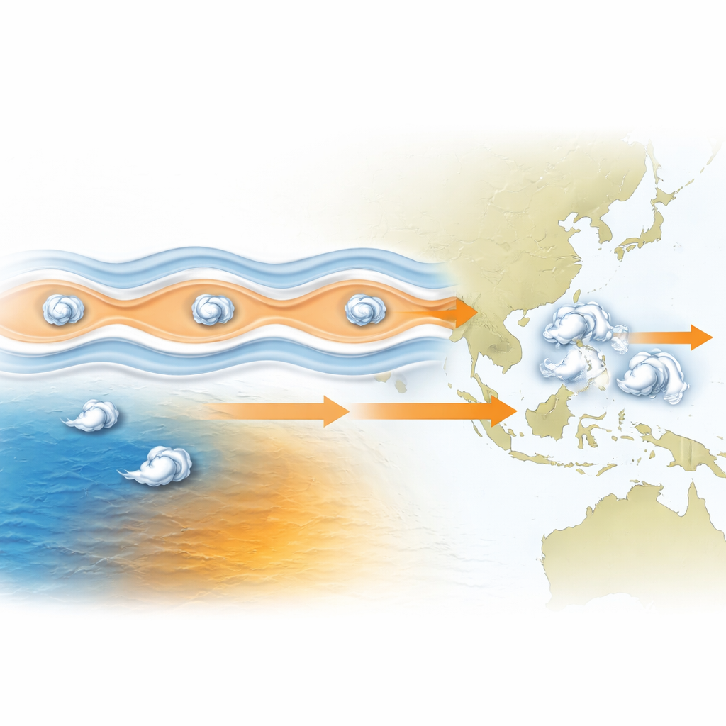
Hidden Waves in the Tropical Air
One major player is a type of large-scale atmospheric disturbance called a convectively coupled equatorial Rossby wave. These slow-moving wave patterns ripple across the tropics and shape wind, moisture, and rising air. By filtering the atmospheric data to isolate these waves, the team showed that about 72 percent of off-season landfalling storms form when the waves are in a set of “supportive” phases. During the very most favorable phases, the daily odds of a landfalling storm forming jump fourfold compared with the off-season average. In those windows, wind shear is weaker, the air is moister, and upward motion is stronger—all ingredients that help a spinning disturbance tighten into a tropical cyclone.
Decade-Scale Climate Rhythms That Steer Storms
Storm formation is only half the story; where storms travel is just as crucial. The study links the likelihood that an off-season storm will hit land to a slow climate rhythm called the Interdecadal Pacific Oscillation, which flips between warm and cool patterns across the Pacific over 10–30 years. During its positive phase, subtle shifts in winds high above the ocean create broad “corridors” that steer storms toward the Asian coastlines, without clearly changing the total number of storms that form. In negative phases, steering winds tend to guide storms away from land. This helps explain why some decades, such as the 1990s and the mid‑2010s onward, saw many more off-season landfalls than the quiet years in between.
Long-Term Ocean Warming Reshaping the Map
Layered on top of these natural swings is a slower, climate change–driven reshaping of the Pacific Ocean. Since the late 1970s, the warmest pool of tropical water in the western Pacific has expanded and pushed westward and northwestward toward Southeast Asian landmasses. The authors show that sea surfaces near the western Pacific have warmed by up to half a degree Celsius per decade in the off-season months, while some parts of the central and eastern Pacific have cooled slightly. This uneven warming pattern makes the near-coastal waters more welcoming to storm formation, nudging the typical “breeding grounds” of cyclones closer to shore even when overall storm counts remain stable. 
Why This Matters for Coastal Communities
Putting these pieces together, the study concludes that off-season storms in the western North Pacific are not simply becoming more numerous—they are becoming more land-focused. Invisible atmospheric waves open short-lived windows that favor storm birth, decade-scale climate swings adjust the steering currents, and long-term Pacific warming shifts the cradle of storms toward densely populated coasts. The combination raises the odds that a rare winter or spring typhoon will come ashore with less warning and less preparedness. By identifying these multi-scale drivers, the research offers a roadmap for better seasonal forecasts and early-warning systems that account for both daily atmospheric waves and slower climate patterns, helping vulnerable communities prepare for dangerous storms outside the traditional typhoon season.
Citation: Latos, B., Moon, IJ. & Heidemann, H. Multi-scale drivers of increasing off-season tropical cyclone landfalls in the western North Pacific. npj Clim Atmos Sci 9, 82 (2026). https://doi.org/10.1038/s41612-026-01349-0
Keywords: off-season tropical cyclones, western North Pacific, Rossby waves, Interdecadal Pacific Oscillation, Pacific warming