Clear Sky Science · en
Impacts of land use/land cover change on ecosystem service values in the Dinki Watershed, central highlands of Ethiopia
Why this mountain landscape matters
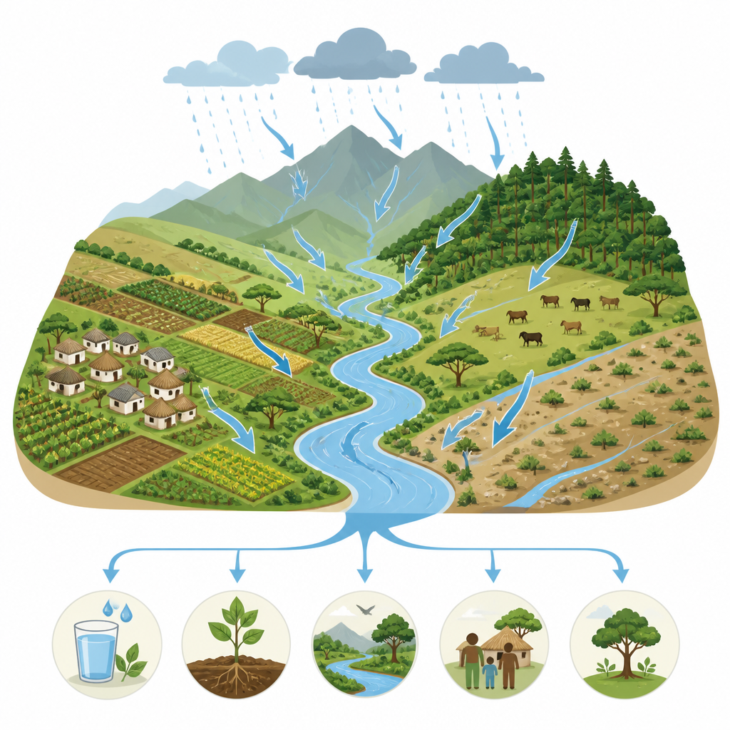
The Dinki Watershed in the central highlands of Ethiopia is a living laboratory for how our choices on the land ripple through water, soil, plants, and people. This study follows nearly thirty years of change in this rugged landscape to ask a simple but important question: as forests shrink, fields shift, and streams are reshaped, what happens to the "free" benefits that nature provides, such as clean water, fertile soil, and protection from floods? The answers matter not just for local farmers, but for anyone interested in how to balance food production, rural livelihoods, and environmental health.
Looking at the land from space and on foot
To track how the watershed has changed, the researchers combined satellite images with on-the-ground knowledge from local communities. They analyzed three snapshots in time, from 1994, 2014, and 2023, using Landsat images that show the land surface in consistent detail. Each pixel in these images was assigned to one of six categories: cropland, built-up areas, dense forest, grazing land, sparse vegetation such as shrubs and scattered trees, or water bodies such as rivers and ponds. Advanced computer methods improved the accuracy of this mapping over time, and local field checks and high-resolution imagery were used to verify what the satellites saw. Alongside this, interviews and group discussions with residents helped explain why the land was changing and how people felt the impacts.
How the watershed’s face has changed
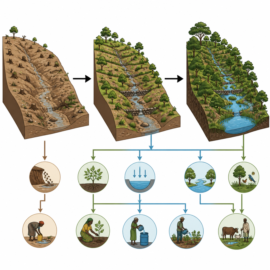
Over the past three decades, the Dinki landscape has been reshaped in ways that both help and harm the local environment. Cropland covered the largest share of the area in 1994 and 2014, but then shrank sharply by 2023, partly as some fields were abandoned or converted to other uses. Dense forest has steadily declined, often cleared for farms, grazing, wood, and settlement needs. By contrast, grazing land, sparse vegetation, and water bodies have expanded. More shrubs and grasslands now cover previously bare or heavily used slopes, thanks in part to soil and water conservation work and natural regrowth. Streams and small ponds have become more widespread, as farmers build small barriers to store water for irrigation and rainfall patterns interact with land restoration efforts.
Putting a price on nature’s hidden work
To make the consequences of these shifts easier to grasp, the team translated them into estimates of "ecosystem service values" the notional economic worth of what nature does for people in this watershed each year. They drew on global studies that estimate how much different types of land typically contribute through services such as providing water and raw materials, stabilizing soil, cycling nutrients, and offering cultural benefits. These base figures were adjusted to fit Ethiopian highland conditions and checked with local experts and community views. By multiplying these values by the area of each land cover type in 1994, 2014, and 2023, the researchers could see how the total annual value of nature’s work changed over time.
More value from water and wild greenery
The results are striking. Even though cropland and dense forest shrank, the overall estimated value of ecosystem services in Dinki rose from about 200 thousand to more than 310 thousand US dollars per year between 1994 and 2023. Most of this gain came from water bodies and areas of sparse vegetation, which together supplied most of the increase. Services that regulate the environment such as moderating water flow, filtering pollutants, and reducing erosion made up the largest share of the total, more than those tied directly to harvesting food or raw materials. At the same time, some services linked to farming and forest products declined, reflecting lost fertile fields and shrinking woodlands. Sensitivity checks showed that the estimates are especially influenced by how valuable water and shrubland are assumed to be, underscoring their central role in this watershed.
Finding a better path for people and nature
For residents of the Dinki Watershed, these numbers mirror lived experience: less forest cover and shifting farmland have brought both new opportunities and new risks. Expanding shrubs, grasslands, and water sources can support more stable water supply and protect soils, but the loss of dense forest and productive cropland threatens long term resilience. The study concludes that careful, joined up management is needed to keep the landscape healthy while supporting local livelihoods. Approaches such as sustainable farming on suitable land, replanting trees in key areas, diversifying income sources, and involving communities in decisions can help maintain the watershed’s natural services. In simple terms, how the land is used today will determine whether Dinki continues to provide clean water, fertile soil, and a livable environment for generations to come.
Citation: Worku, Y., Asmamaw, M. & Ambelu, A. Impacts of land use/land cover change on ecosystem service values in the Dinki Watershed, central highlands of Ethiopia. Sci Rep 16, 15572 (2026). https://doi.org/10.1038/s41598-026-44717-9
Keywords: land use change, Ethiopian highlands, ecosystem services, watershed management, remote sensing