Clear Sky Science · en
Detrital fission-tack analysis determines the signal of anthropogenic infrastructure in upper Yellow River sediment transfer
Why this river story matters
The Yellow River in China has sustained people and farms for thousands of years, but its natural flow of sand and mud has been radically reshaped by modern dams. This paper asks a deceptively simple question with big implications: how much have human-built barriers changed the way sediment moves along the river, and can we actually see that change in the grains of sand themselves? By comparing the dammed upper Yellow River with its more natural neighbor, the Wei River, the authors use tiny mineral crystals as trackers to reveal how infrastructure can quietly rewire a great river system.
Reading history in tiny crystals
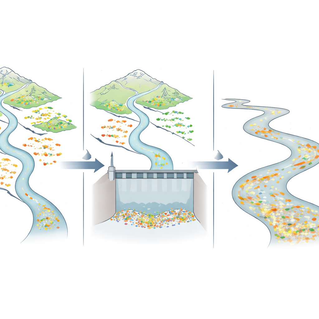
To follow the journey of sediment, the researchers turned to a mineral called apatite, which is common in many types of rock. When rocks are buried deep and later pushed upward toward the surface, apatite records this cooling history in the form of microscopic damage trails called fission tracks. Each grain carries an age that tells when it cooled through a particular temperature, so a handful of sand grains from different regions will show distinct “age fingerprints.” By measuring many grains from river sand and comparing them with apatite ages from surrounding mountains and basins, the team can tell where the sediment came from and how well material from different sources is being mixed and carried downstream.
A tale of two river systems
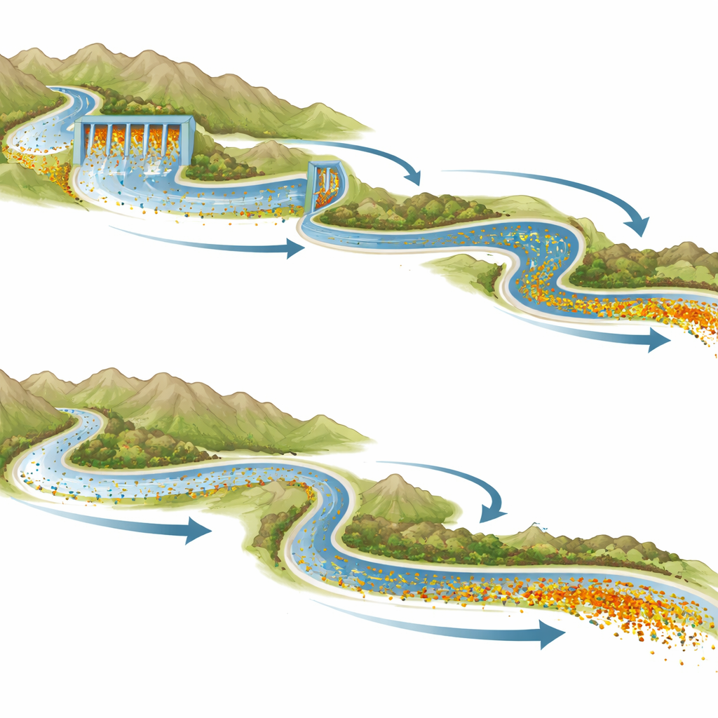
The study focused on an 850-kilometer stretch of the upper Yellow River that includes the large Liujiaxia Reservoir and a cascade of 21 dams and hydropower stations, and on a 420-kilometer reach of the Wei River, a major tributary with far fewer barriers. At multiple sand bars along both rivers, the authors collected modern sand and dated individual apatite grains. They then used statistical tools to group the ages into several main components and to compare how these components changed from one sampling site to the next. In parallel, they compiled existing age data from nearby mountain ranges and sedimentary basins on the northeastern edge of the Tibetan Plateau to match each age component with likely source areas.
Where dams break the sediment chain
Along the Yellow River, the pattern of apatite ages shifts abruptly wherever dams and reservoirs interrupt the flow. In the uppermost reach, just downstream of a series of hydropower stations, the sand changes from a mixture dominated by material eroded far upstream to a blend enriched in grains shed from nearby basins and small tributaries. Farther downstream, near the large Liujiaxia Reservoir and additional dams, the age fingerprints reorganize again: components that should be abundant if the main river were freely transporting sediment become weaker or disappear, while grains from certain tributaries become disproportionately common. These jumps occur even where natural conditions such as relief, rock type, and climate are similar, and where small tributaries drain much smaller areas than the main river—strong clues that the dams are trapping a large share of the mainstem sediment and allowing local inputs to dominate what continues downstream.
A quieter river keeps its signal
The Wei River tells a contrasting story. Despite flowing through geologically complex terrain with a variety of potential sediment sources, its sand shows remarkably consistent age components from site to site. The same two main age groups dominate all along the studied reach, and they match the signature of a single large mountain region to the south. Because major reservoirs are largely absent along this part of the Wei, the river behaves more like an unbroken conveyor belt: sediment from different sources mixes naturally, and that mixed signal is carried efficiently downstream without being heavily edited by dams.
What this means for rivers and people
To a non-specialist, the key message is that dams do more than hold back water—they also break the invisible threads that link mountains, floodplains, and deltas through moving sediment. In the upper Yellow River, human-made barriers have created partially blocked segments where the natural mix of upstream and tributary sediment is replaced by a patchwork dominated by nearby sources. This affects not only how river channels evolve and where erosion or deposition occurs, but also how nutrients, contaminants, and habitats are distributed. By showing that the “age memory” inside sand grains clearly records these disruptions, the study demonstrates a powerful way to detect and quantify human impacts on large river systems. The authors argue that preserving sediment connectivity should be treated as a core goal in river planning, alongside energy production and flood control, if we want major rivers like the Yellow River to remain both ecologically healthy and reliable for the societies that depend on them.
Citation: Jiao, X., Olivetti, V., Wang, J. et al. Detrital fission-tack analysis determines the signal of anthropogenic infrastructure in upper Yellow River sediment transfer. Commun Earth Environ 7, 380 (2026). https://doi.org/10.1038/s43247-026-03540-w
Keywords: Yellow River, river connectivity, dams and reservoirs, sediment transport, thermochronology