Clear Sky Science · en
A conditioning factor selection framework considering sample heterogeneity in debris flow susceptibility mapping
Why this matters for people living near mountains
In steep mountain valleys, a sudden rush of mud, rocks, and water can roar down without warning, wiping out homes, roads, and lives. These disasters, known as debris flows, are likely to become more frequent and damaging as development expands into risky areas and extreme rainfall events intensify. The study summarized here asks a deceptively simple question with big implications for safety: how can we make maps that more accurately show which valleys are most likely to be hit next, especially when nearby hillsides do not all behave the same way?
Seeing that one map does not fit all
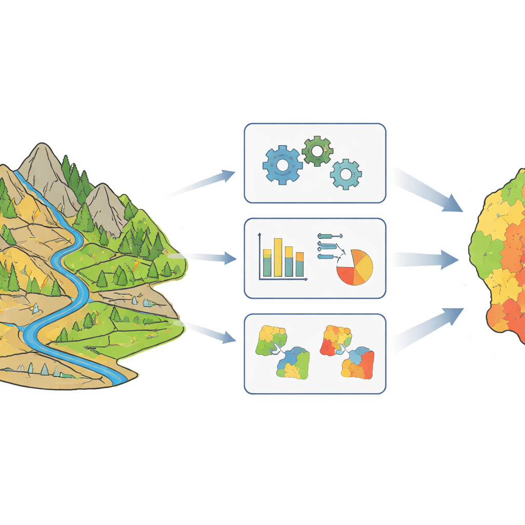
Debris flow susceptibility mapping is the practice of shading a landscape according to how likely different locations are to experience a debris flow. Traditionally, scientists have treated an entire region as if it followed a single, uniform pattern: the same set of ingredients—such as slope, rainfall, rock type, vegetation, and distance to roads or faults—are assumed to matter in the same way everywhere. The authors argue that this is unrealistic for a large, rugged county like Beichuan in southwestern China, where earthquake damage, rock types, and valley shapes vary dramatically from place to place. In such settings, relying on one "global" recipe can obscure important local differences and weaken predictions where they are needed most.
Breaking the landscape into more similar pieces
To capture those differences, the team first divided Beichuan into groups of debris flow catchments that share similar environmental conditions. They used a technique called fuzzy C-means clustering, which does not force each valley into a single rigid category but instead allows partial membership in several groups. This flexibility mirrors reality better than hard boundaries: two neighboring valleys can be mostly similar but still differ in a few key ways. After testing several options, the researchers found that splitting the area into four clusters provided the best balance between capturing diversity and keeping enough examples in each group to train reliable models.
Finding which local ingredients matter most
Within each of the four groups, the authors then asked which environmental factors were actually most helpful for predicting where debris flows occur. They relied on an information-based score that measures how much knowing a given factor—like slope, rainfall, or vegetation—reduces uncertainty about debris flow occurrence. This revealed that different clusters are controlled by different main drivers. In one group, steep slopes were the dominant ingredient; in another, the direction a slope faces mattered most; in a third, moisture and water concentration were key; and in the last, intense rainfall stood out as the primary trigger. By dropping the two weakest factors in each group, the team simplified their models while keeping the most informative signals.

Building smarter prediction models for each area
Armed with these tailored factor sets, the researchers trained a popular machine learning method, random forests, separately for the entire county and for each of the four clustered subregions. They compared versions that used all factors against versions that used only the locally selected ones. The performance was judged with several standard measures of classification quality, including how well the models distinguished between catchments with and without known debris flows. Models trained on the locally homogeneous clusters consistently outperformed the single global model, and removing weak factors boosted accuracy further. The resulting maps from the personalized, streamlined models showed more coherent high-risk zones lining fault traces and deep valleys, and more confident "very low" risk areas where triggering conditions are clearly absent.
What the results mean for safer planning
For a non-specialist, the key takeaway is that treating an entire mountain region as if it behaves the same way can hide important patterns that matter for safety. This study demonstrates that first grouping similar valleys together and then choosing the most relevant factors for each group leads to cleaner, more realistic risk maps. These refined debris flow susceptibility maps place more known events in areas labeled moderate or high risk and carve out broader zones of genuine low risk. That makes them more useful for guiding where to build, which roads or villages need extra protection, and how to prioritize investment in early warning and emergency planning in landslide-prone regions.
Citation: Gao, R., Wang, A. & Wu, D. A conditioning factor selection framework considering sample heterogeneity in debris flow susceptibility mapping. Sci Rep 16, 11933 (2026). https://doi.org/10.1038/s41598-026-42978-y
Keywords: debris flow susceptibility, landslide hazard mapping, machine learning in geohazards, spatial heterogeneity, mountain risk management