Clear Sky Science · en
The qualitative and quantitative relationship between the spatiotemporal variations of potential evapotranspiration and meteorological variables in the Hexi corridor, Northwest China
Why Dry Lands and Hidden Water Matter
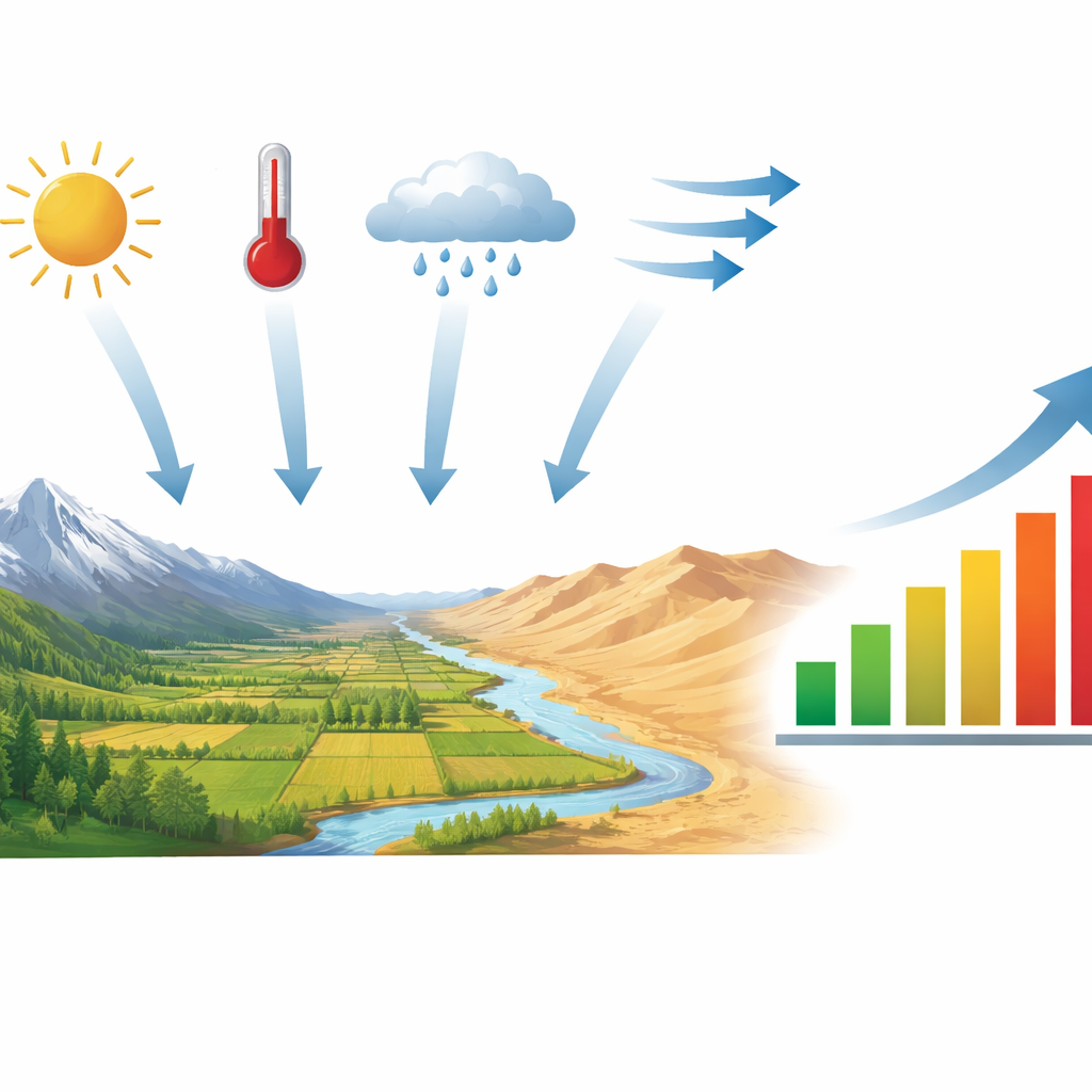
In some of the driest parts of the world, crops and people survive on a razor-thin margin of water. China’s Hexi Corridor, a long strip of farms wedged between high mountains and desert, is one such place. This study asks a deceptively simple question with big consequences: as the climate warms and weather patterns shift, how quickly does water leave the land and return to the air, and which pieces of the weather puzzle are most to blame?
A Long, Thin Region Under Climate Stress
The Hexi Corridor stretches for about a thousand kilometers along the northern foot of the Qilian Mountains in northwestern China. Mountains to the south store snow and ice, while to the north lie dunes and gravel plains. Rainfall is scarce, sunshine is strong, and winds can be fierce. These features make the region both an important food-producing area and extremely vulnerable to any change in climate. In such dry places, the balance between incoming rain and outgoing water loss strongly controls rivers, groundwater, soil moisture, and ultimately harvests.
Following Invisible Water for Sixty Years
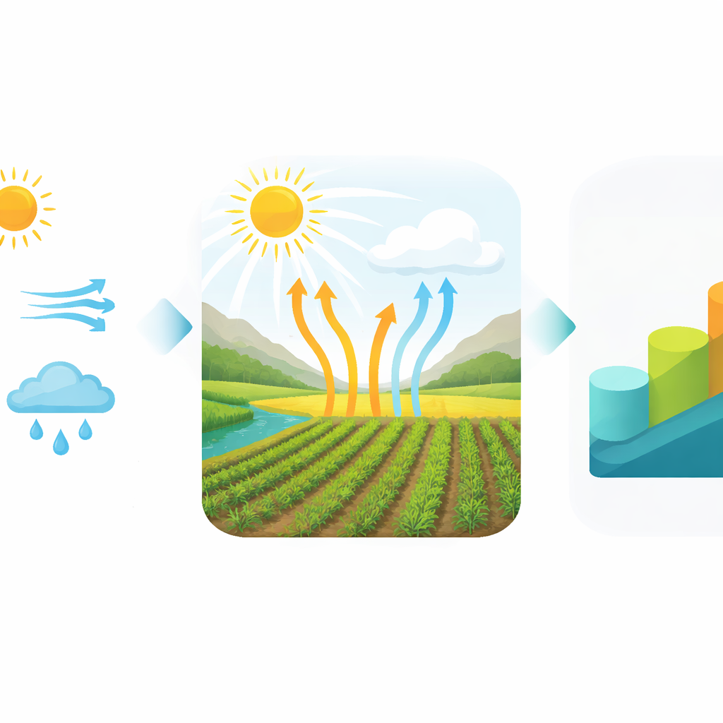
Instead of trying to measure actual water loss from every field, the authors focused on “potential evapotranspiration” – the amount of water that would evaporate and be used by plants if water were not limiting. It is a standard yardstick for how thirsty the air is. Using a widely accepted formula that combines sunshine, temperature, humidity, wind, and basic geography, they calculated this potential loss for 21 weather stations across the Hexi Corridor from 1960 to 2019. They then mapped how it changed over space and time, and looked for sharp shifts in the record.
Rising Water Demand in a Warming Climate
The analysis shows that the air’s demand for water in the Hexi Corridor rose overall during the 60-year period, though not steadily. The researchers found two turning points, around 1969 and 2002, separating an early dip, a long relatively flat phase, and a more recent rise. On average, the potential water loss is high: roughly 1.2 meters per year, increasing from the cooler, somewhat wetter southeast toward the hotter northwest. Summer dominates this demand. At the same time, temperatures climbed markedly, while net solar energy at the surface, wind speed, and relative humidity generally declined, creating a complex tug-of-war among the factors that drive evaporation.
Untangling What Matters Most
To sort out which weather ingredients are most closely tied to this rising thirst, the team combined several statistical tools. They grouped the six main variables into two broad clusters: a “temperature family” (average, maximum, and minimum temperature plus net radiation) and a “wind and moisture family” (wind speed and humidity). All methods agreed that the temperature family moves most in step with potential evapotranspiration. Sensitivity tests showed that changes in net radiation have the strongest immediate impact, followed by wind speed and then average temperature, while humidity and daily temperature extremes matter less. But when the authors also considered how quickly each variable itself has been changing, a different picture emerged: the steady rise in average temperature becomes the dominant driver of the long-term increase in atmospheric water demand, with wind and radiation playing important but secondary roles.
What This Means for Farmers and Water Planners
For people managing scarce water in the Hexi Corridor and similar drylands, the message is clear. Even though winds have weakened and surface solar energy has dipped, continued warming is pushing the air to draw more water from soil and crops. The study estimates that about three-quarters of the long-term change in potential evapotranspiration can be explained by the combined effect of the six examined weather factors, with rising average temperature leading the way. That means irrigation plans, drought warnings, and ecological restoration in arid and semi-arid regions must account not only for how much rain falls, but also for how a warming, subtly changing atmosphere is increasing the hidden pull on every drop stored in fields and aquifers.
Citation: Ma, Y., Niu, Z., Wang, X. et al. The qualitative and quantitative relationship between the spatiotemporal variations of potential evapotranspiration and meteorological variables in the Hexi corridor, Northwest China. Sci Rep 16, 12282 (2026). https://doi.org/10.1038/s41598-026-42072-3
Keywords: evapotranspiration, climate change, Hexi Corridor, arid agriculture, water resources