Clear Sky Science · en
Based on “space-culture-role” three-dimensional integration perspective for construction of characteristic conservation areas for traditional villages in Southwest Zhejiang, China
Why old villages still matter today
Across the mountains of Southwest Zhejiang, in eastern China, hundreds of traditional villages still cling to river valleys and old caravan roads. They hold wooden houses, terrace fields and living cultures that have survived wars, migration and rapid urban growth. Yet modern development and one-size-fits-all protection schemes risk turning these places into museum pieces or wiping out what makes each of them unique. This study asks a simple question with complex implications: how can we protect many villages at once in a way that respects their landscapes, cultures and social ties, rather than just drawing lines on a map?
Villages shaped by mountains, rivers and distance
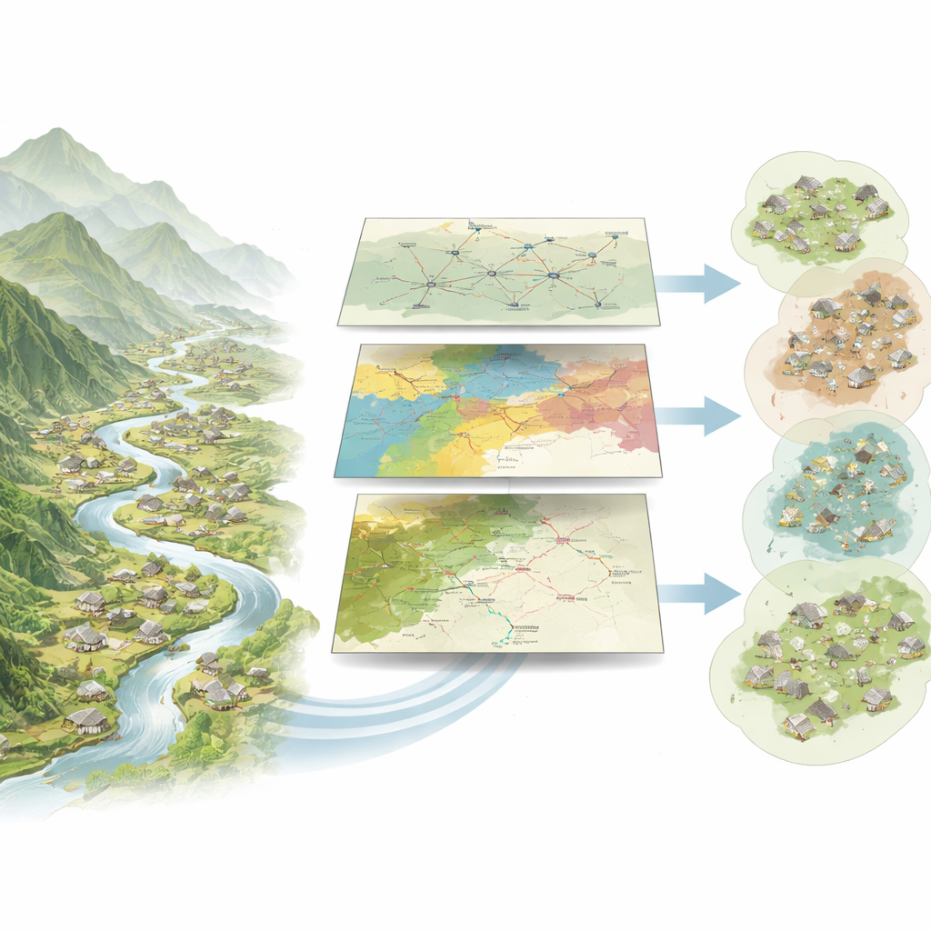
The authors begin by looking at where 331 nationally recognized traditional villages are actually located in Southwest Zhejiang. Using detailed maps of elevation, roads, rivers and cities, they find that the villages do not spread out evenly. Instead, they gather in clusters: in the south, they line river corridors; in the north, they follow old overland routes. Remote mountain ridges, which are hard to cross, act as natural shields. These difficult landscapes helped villages keep their historic layout and buildings intact, precisely because modern construction found them inconvenient to reach. The team models how easy or hard it is to move through this terrain, dividing the region into zones that are highly suitable or unsuitable for grouped conservation efforts.
Cultures layered across the same landscape
Landscape is only part of the story. Over centuries, different peoples and traditions have left their mark on Southwest Zhejiang, from She minority communities and Hakka migrants to Confucian scholars and revolutionary fighters. The researchers categorize village cultures into five main types—ecological, revolutionary, She, Hakka and Southern Confucian—and quantify concrete signs of each, such as nature reserves, folk festivals or historic academies. They then map how strongly each cultural influence radiates outward from its core areas. The result is a rich mosaic: She culture forms dense patches around an autonomous county; Hakka culture dots the map in scattered points; Confucian heritage spreads out in rings from a historic city; red revolutionary sites trace corridors along rivers. Neighboring clusters often share one dominant culture, but differ sharply from clusters further away, confirming a pattern of “multicultural symbiosis.”
Hidden networks linking village to village
To move beyond static maps, the study treats villages as nodes in a living network. It combines information on terrain, economy, population, roads and heritage to estimate how strongly each village interacts with others—through trade, travel and cultural exchange. Using tools normally applied to social networks, the authors detect 14 tightly knit subgroups of villages and measure which ones act as hubs or bridges. A few places emerge as core villages, with many connections and strong influence on surrounding settlements. Others sit at the edges of clusters but play crucial roles as connectors between groups, while most villages form the broader background. Strikingly, these social ties often ignore county lines, showing that administrative borders do not match how villages actually relate to one another.
From scattered dots to tailored protection areas
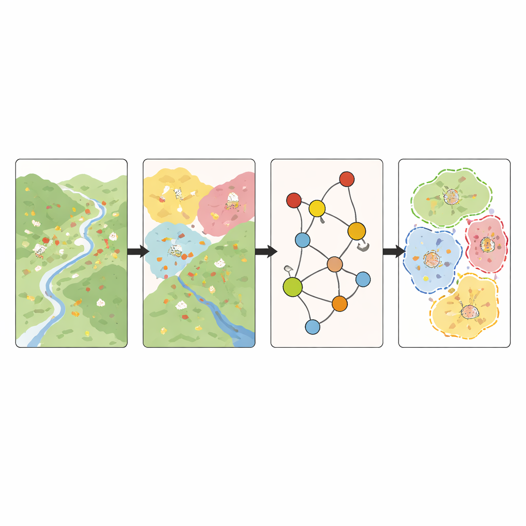
Bringing these strands together, the researchers propose a three-part way of thinking they call “Space–Culture–Role.” First, they use landscape resistance to understand where clusters of villages can realistically function together. Second, they overlay the cultural maps to see what kind of stories and identities each area embodies. Third, they apply the network analysis to assign roles—core, connecting or general—to individual villages. By combining these dimensions, they divide the region into 16 distinct conservation areas, each with its own mix of key villages and cultural themes. For each type of area they outline matching strategies: some focus on tying scenic spots and villages into shared routes; others center on living ethnic or Confucian traditions; some lean on nearby cities for tourism and services; and others build around especially influential core villages.
What this means for saving living places
Instead of treating traditional villages as isolated attractions or lumping them together by bureaucratic convenience, this work shows how to protect them as interconnected, living systems. The main message is that successful conservation must respect three things at once: the physical landscape that shapes where people can live and travel, the cultural patterns that give places their character, and the everyday networks that link one village to another. In Southwest Zhejiang, this integrated view turns a loose scatter of rural settlements into a set of clearly defined, culturally rich conservation areas, each with a tailored path for development. The authors argue that this approach can help other regions move from static, one-size-fits-all preservation toward flexible, locally grounded plans that keep village life—and not just old buildings—alive.
Citation: Zhao, X., Tao, J. & Liu, F. Based on “space-culture-role” three-dimensional integration perspective for construction of characteristic conservation areas for traditional villages in Southwest Zhejiang, China. Sci Rep 16, 13486 (2026). https://doi.org/10.1038/s41598-026-41750-6
Keywords: traditional villages, cultural landscapes, rural heritage, China rural planning, heritage conservation networks