Clear Sky Science · en
Assessing elderly walkability to urban parks using mobility analysis and multi-source data: a case study of central Fuzhou, China
Why park walks matter for older city residents
For many older adults, a simple walk to a nearby park can be a daily lifeline, offering exercise, fresh air, and social contact. Yet in fast-growing cities, green spaces are not always easy or pleasant to reach on foot. This study looks at the central area of Fuzhou, China, and asks a deceptively simple question: when we say a park is “accessible,” do we mean that people can reach it in theory, or that they actually feel comfortable walking there in real life?
Looking beyond distance on the map
Most previous studies have judged park access by how far homes are from green spaces along a road network, sometimes adding basic factors like hills or traffic lights. That approach can show whether a park is reachable, but it ignores how the journey feels. For older adults, cracked sidewalks, noisy traffic, a lack of shade, or confusing intersections can turn a short route into one they are reluctant to use. Drawing on ideas from ageing research, the authors argue that a fair assessment of park access for seniors must combine both “can I get there?” and “do I want to walk there?”
A new two-part view of walkability
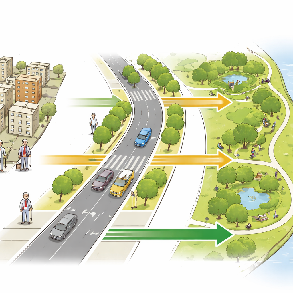
The team designed an integrated framework that treats walkability as having two equal sides: physical effort and visual experience. On the physical side, they built a detailed walking network from open-source street maps, removed links where pedestrians cannot go, and linked real park entrances rather than abstract center points. Using this cleaned network, they calculated the shortest realistic walking distance from more than 5,000 street sampling points to the nearest park entrance, with extra penalties for narrow or hard-to-use links. Distances up to 1.2 kilometers—roughly a 20-minute stroll for an older person—were converted into scores from high to low accessibility.
Reading the street through images and algorithms
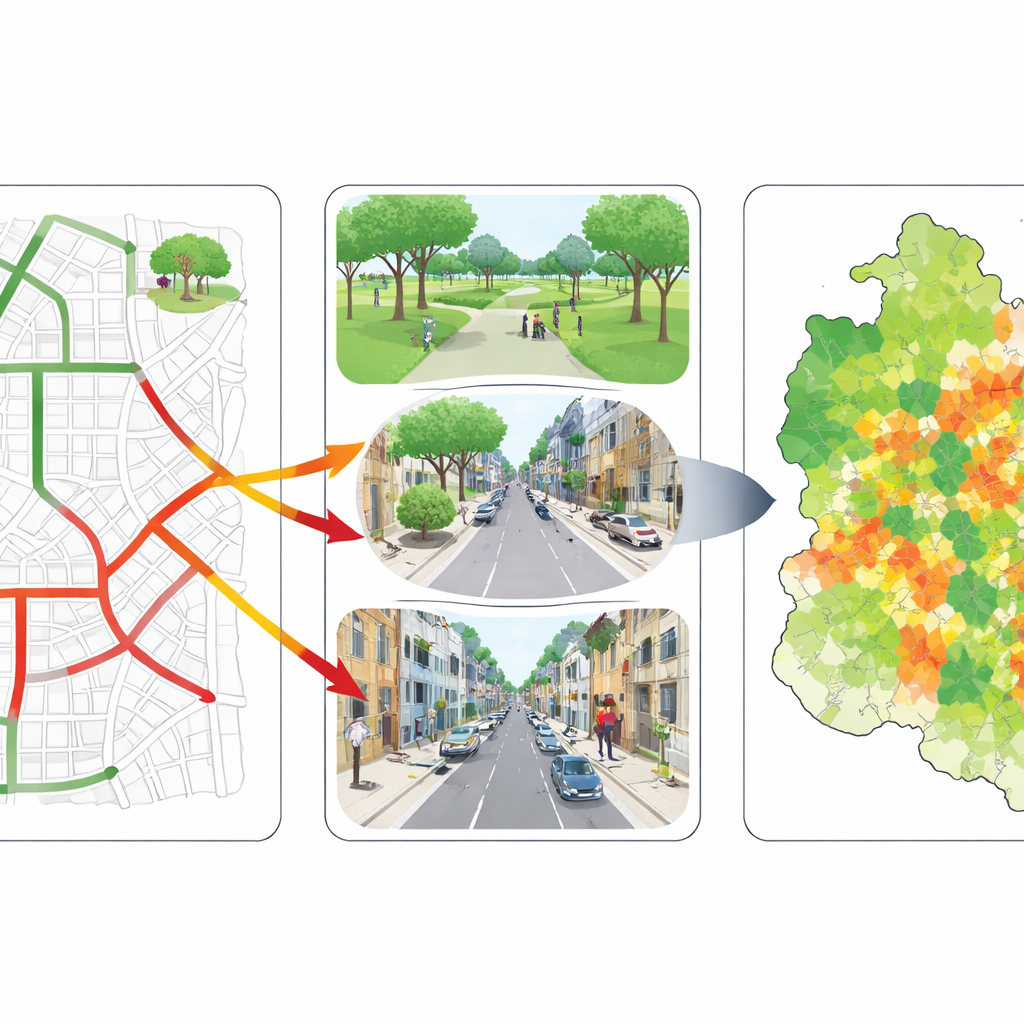
On the perception side, the researchers turned to citywide street-view images. For each sampling point they collected views in four directions and fed them into a deep learning model trained to recognize aspects of walking experience important to older adults, such as safety, comfort, and overall walkability. The model produced a set of scores that were combined—giving extra weight to safety and comfort—to produce a single “perceived accessibility” value for every point. A separate image-analysis step broke each scene into elements like trees, buildings, and sidewalks, helping to explain why some streets felt more inviting than others. Finally, the team merged the physical and perceived scores into one composite index, leaning slightly more on perception to reflect the heightened sensitivities of older walkers.
What the streets of Fuzhou reveal
When these layers were mapped across central Fuzhou, a complex picture emerged. Physical scores varied widely: some neighborhoods enjoyed direct, well-connected routes to parks, while others were separated by gaps in the network, awkward detours, or long walking distances. Perceived scores were more tightly clustered but skewed toward the low side, indicating that many streets looked only moderately friendly, with limited greenery or pleasant sidewalks. The combined index showed that high walkability tended to cluster along central corridors and riverfront greenways where good paths and pleasant views aligned, while large “service deserts” formed in older inner districts and peripheral areas where poor routes and unattractive streetscapes overlapped.
From numbers to better everyday walks
To connect these findings back to real parks, the authors averaged the scores of all nearby street points for each park entrance. They discovered that some parks scored well on both distance and experience and mainly need to be maintained. Others could be transformed by straightforward network fixes, such as adding safer crossings or more direct paths. A third group already sits in visually appealing surroundings but suffers from awkward access routes. The most concerning parks were weak on both counts and often served older, fast-ageing neighborhoods. Across the city, the patterns showed clear clustering of well-served and poorly served areas rather than random scatter.
What this means for age-friendly cities
For non-specialists, the key message is that putting a park on the map is only half the job: older residents also need a safe, shaded, and legible path to get there. This study’s two-part method shows how combining realistic travel paths with computer-based readings of street scenes can reveal hidden gaps in green access, even where parks seem plentiful. It suggests that the most effective improvements pair small-scale network repairs with upgrades to the look and feel of everyday streets—turning notional park coverage into walkable, welcoming routes that older adults will actually use.
Citation: Wu, M., Zheng, K., Chen, J. et al. Assessing elderly walkability to urban parks using mobility analysis and multi-source data: a case study of central Fuzhou, China. Sci Rep 16, 13685 (2026). https://doi.org/10.1038/s41598-026-41060-x
Keywords: elderly walkability, urban parks, street environment, age-friendly cities, green space access