Clear Sky Science · en
The new earthquake locations and focal mechanisms catalogues for the western Ionian Sea, Italy
Why this shaky seafloor matters
The stretch of sea between Sicily and southern Italy is one of Europe’s most earthquake-prone areas, home to some of the largest and deadliest quakes in the country’s history. Yet many of the faults that break beneath the waves are still poorly mapped, because most instruments that listen for earthquakes sit on land. This study tackles that blind spot by combining land and seafloor measurements to build detailed three‑dimensional maps of thousands of small earthquakes in the western Ionian Sea, along with how the rocks moved during each event. The result is a new, open dataset that sharpens our picture of this hazardous region and helps scientists better understand where future large earthquakes may originate. 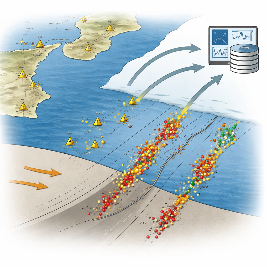
A restless corner of the Mediterranean
The western Ionian Sea lies where the last slice of ancient ocean crust is diving beneath the toe of Italy’s “boot,” in front of the Calabrian Arc. Here, the African and Eurasian plates slowly converge, squeezing and stretching the crust in a complex way. This offshore zone has produced some of Italy’s most powerful earthquakes, including the devastating 1693 and 1908 events. Coastal communities are also exposed to landslides, tsunamis, and eruptions from Mount Etna. Despite decades of marine surveys, scientists have struggled to pinpoint the exact faults responsible for many historical earthquakes, mainly because traditional land‑based seismometer networks do a poor job of locating small offshore events.
Listening from the seafloor as well as the shore
To overcome this, Italian researchers wove together data from national land networks with records from seafloor observatories and temporary deployments of ocean‑bottom seismometers and hydrophones. They focused on a rectangle spanning eastern Sicily, southern Calabria, and the adjoining Ionian basin, and gathered basic information—such as the time seismic waves arrived at each station—for earthquakes recorded between 1990 and 2019. After removing duplicates and correcting inconsistencies, they relocated more than 5,200 earthquakes in three dimensions using a modern 3D model of how seismic waves travel through the crust. This approach, which compares both absolute and event‑to‑event travel times, allows clusters of earthquakes to be positioned much more precisely than standard methods. 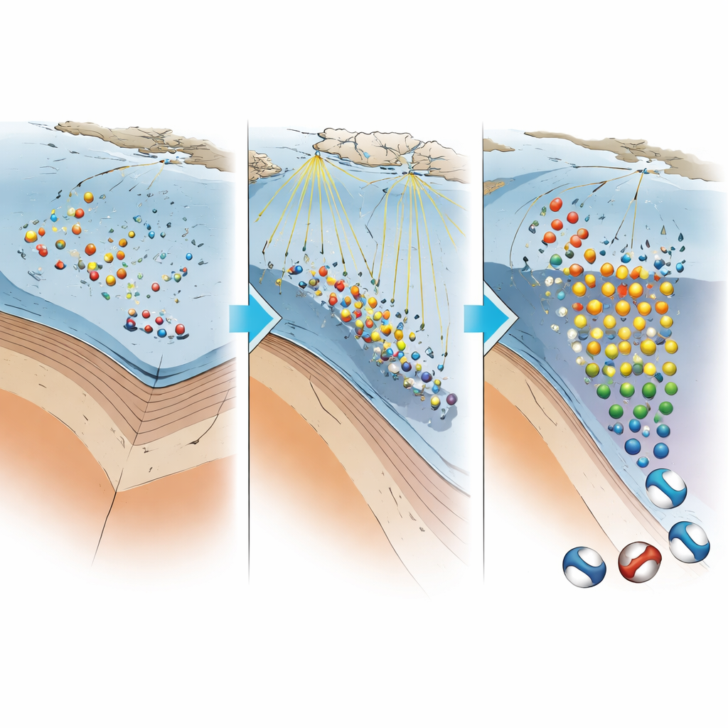
Drawing the shape of hidden faults
The sharpened locations reveal clear bands and patches of seismicity that trace known offshore structures such as the Malta Escarpment, the Alfeo–Etna Fault system, and the Ionian Fault system. Earthquakes deepen from the coast toward the open sea and, in the outer basin, reach depths greater than 100 kilometers, outlining the sinking slab of oceanic crust. Roughly one in ten earthquakes in the catalogue benefited directly from seafloor recordings, which are especially important for constraining offshore depths. By comparing the new positions with detailed seafloor maps, the team confirmed that almost all hypocenters lie within the solid Earth rather than the water column, a key check on reliability.
How the rocks are breaking
Beyond location, the study also examined how the rocks moved during 421 of these earthquakes by calculating their “focal mechanisms”—simplified patterns that show whether the crust was mainly pulled apart, squeezed, or sheared sideways. Using a standard method that fits the first motions of seismic waves at many stations, and quantifying how well the available data surround each event, the authors assigned quality levels to each solution. They then grouped the mechanisms into styles such as normal (extension), thrust (compression), and strike‑slip (sideways motion). Across the region, normal and strike‑slip styles dominate, with thrust motion appearing in particular sectors. By partitioning the area into four blocks—Messina Strait, south of the Ionian Fault, along the Malta Escarpment, and the deeper Ionian basin—they show that different fault behaviors cluster in distinct structural domains, refining the picture of how the crust is deforming today.
Testing and sharing a new seismic map
The authors carefully evaluated how much the new methods improved earthquake locations compared with the original bulletins. Statistical measures of uncertainty—such as errors in depth and horizontal position, and how well stations surround each event—consistently show smaller values in the relocated catalogue, particularly when offshore stations are included. For most earthquakes, vertical errors are less than two kilometers and horizontal errors less than one kilometer, a substantial gain for offshore work. All results are released as two easily usable spreadsheet files: one listing earthquake times, positions, sizes and associated errors, and another summarizing the focal mechanisms and their quality. Both are openly available through the Italian National Institute of Geophysics and Volcanology.
What this means for people on land
For non‑specialists living in Sicily, Calabria, or along the wider Mediterranean coast, this work does not offer a prediction of the next big quake. Instead, it provides a sharper, data‑rich map of where and how the Earth is breaking beneath the sea—a foundation on which hazard models, tsunami assessments, and future research all depend. By tying small daily earthquakes to specific offshore fault systems and to the deeper sinking slab, the new catalogues help scientists better identify which structures are active and how stress is being released. In the long run, such detailed knowledge is essential for designing safer buildings, planning coastal development, and preparing for the rare but devastating earthquakes that have shaped this region’s history.
Citation: Sgroi, T., Barberi, G., Marchetti, A. et al. The new earthquake locations and focal mechanisms catalogues for the western Ionian Sea, Italy. Sci Data 13, 609 (2026). https://doi.org/10.1038/s41597-026-06979-w
Keywords: Ionian Sea earthquakes, offshore faults, seafloor seismology, earthquake catalog, Mediterranean seismic hazard