Clear Sky Science · en
Thermal variations and urban compactness: developing UHI indices using remote sensing
Why city heat matters to everyday life
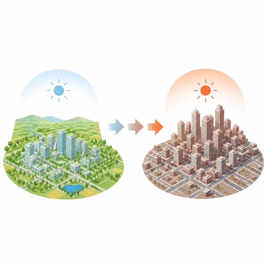
On hot summer days many city dwellers feel that pavements, walls, and squares seem to radiate heat long after sunset. This study looks at why that happens in a medium sized European city and what it means for people who live there. By tracking how the city of Bialystok in Poland has grown and changed over nearly three decades, the authors show how denser building patterns and more paved surfaces can turn large parts of a city into persistent hot spots, and what kinds of green spaces can help cool things down.
Tracking a city’s warmth from space
To understand how heat builds up in Bialystok, the researchers used satellite images from 1994 and 2022. These images measure land surface temperature, which describes how hot the ground and roofs become, rather than the temperature of the air in the shade. The team also examined detailed maps of how different parts of the city are used, such as housing, factories, roads, fields, forests, and parks, and how much of the ground is covered by hard, sealed materials like asphalt and concrete. Combining these datasets allowed them to outline areas where the surface is significantly hotter than the city average, a pattern known as a surface urban heat island.
How the heat island has spread over time
The analysis shows that while the hottest single day in the record occurred in 1994, the pattern of heat in 2022 is more troubling. In 1994, the warmest zones were scattered patches, and the hottest core left out much of the historic city center. By 2022, the total area of these hot zones had grown, individual patches had merged into a broad heated core, and this core now covered the city center. Overall, the share of the city affected by excess surface heat rose to about one third of its area, and a large zone of chronic overheating now overlaps with long standing residential, service, and industrial districts.
Concrete, trees, and the power of small changes
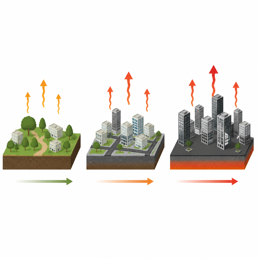
Land cover turned out to be central to these changes. Between 2006 and 2018, much of Bialystok’s farmland was converted into new housing, roads, and commercial areas, increasing the share of artificial surfaces. Satellite measures of greenness confirmed that places with healthy vegetation tended to be cooler, while bare or paved areas ran hotter. Parks, which are large and tree rich, were several degrees cooler than small garden squares, showing that size, tree cover, and how green areas connect to one another all matter for cooling. The study also found that when the share of impervious surfaces in an area rises by 10 percent, the surface temperature can climb by more than 0.6 degrees Celsius, especially when starting from relatively green, open ground.
When density meets heat exposure
The city’s compact form brings people, jobs, and services closer together but it also concentrates heat. The researchers discovered a tight link between how land is used and the chance that an area falls inside the heat island. Dense housing blocks, large shopping centers, industrial roofs, and heavily paved transport corridors were often among the hottest spots. In contrast, low or medium density single family areas near parks, forests, or fields tended to stay cooler. Using population data, the team estimated that about 75.5 percent of Bialystok’s residents live in places that experienced heat island conditions on a hot sunny day in 2022, and that exposure is unevenly spread across districts.
What this means for cooler, healthier cities
For a layperson, the key message is that how a city builds and paves its land directly affects how hot its surfaces become and how many people are exposed to that heat. The authors show that as Bialystok grows more compact and replaces fields and open ground with sealed surfaces, hot zones are likely to spread and join together unless cooling steps are taken. They argue that city planners should manage how much land is sealed, protect and expand large, well connected green areas, and pay special attention when hard surfaces first begin to dominate a formerly green area, because that is when temperature rises fastest. These insights from one city offer a practical guide for other growing urban areas seeking to balance compact development with protection from extreme heat.
Citation: Antochów, A., Banaszuk, P. & Kamocki, A. Thermal variations and urban compactness: developing UHI indices using remote sensing. Sci Rep 16, 16525 (2026). https://doi.org/10.1038/s41598-026-44995-3
Keywords: urban heat island, land surface temperature, urban densification, impervious surfaces, urban green space