Clear Sky Science · en
Structural equation modeling approach to evaluate effects of socio-economic and built environment factors on trip generation rates of commercial land use
Why big shopping places matter for city traffic
Anyone who has ever sat in a traffic jam near a major shopping center has wondered how much those big malls and commercial hubs really shape city traffic. This study looks at exactly that question in Mashhad, Iran’s second-largest city. By carefully counting how many people travel to large commercial sites and linking those counts to the size of the sites, their surroundings, and nearby population characteristics, the authors show which features of a city’s fabric actually drive shopping-related traffic—and which matter less than planners often assume.
How changes in city form affect daily trips
Modern cities are constantly reshaping land for more profitable uses, and commercial development is often at the heart of that change. When new malls, wholesale centers, or large retail complexes appear, they can transform local traffic conditions, increasing congestion and changing how and where people travel. Traditional planning tools, such as the widely used U.S. Trip Generation Handbook, estimate how many trips a given land use will produce using simple measures like building size. But these tools were largely built for car‑oriented suburbs and do not fully reflect dense, mixed urban environments in developing countries. Earlier research has suggested that nearby street networks, transit access, and local population characteristics all influence how many trips a site generates, yet most studies analyze these factors separately rather than as a connected system.
Looking under the hood of shopping-trip patterns
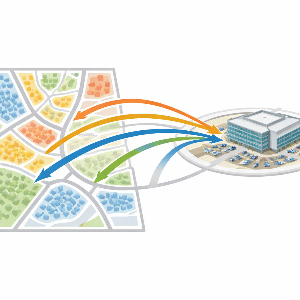
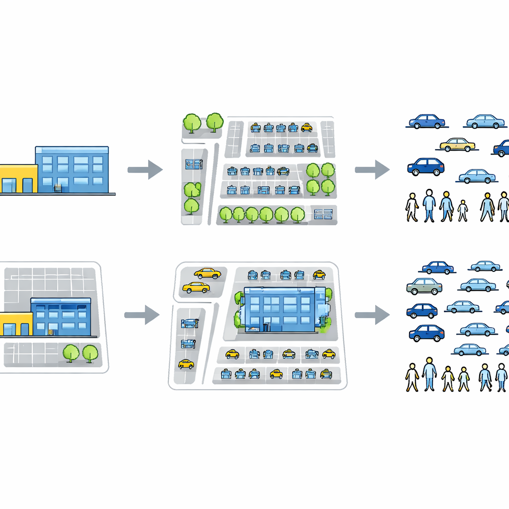
To untangle these relationships, the authors focused on 33 large commercial sites in Mashhad whose customer base extends well beyond their immediate neighborhoods. They counted how many people entered and left each site during peak hours, regardless of whether they arrived by car, bus, or on foot. From these observations they created two key measures: the total number of trips and a density-style measure that divides trips by building floor area (trips per 100 square meters). They then assembled detailed information on each site’s physical size, surrounding road and parking layout, and the basic socio-economic profile of the area, including population levels and car ownership.
A city’s shape and streets outweigh local demographics
The team used a statistical framework called structural equation modeling to look at all these elements together, rather than one by one. This approach allowed them to treat three groups of influences—physical size of the site, surrounding built environment, and local socio-economic conditions—as intertwined parts of a single system. Their analysis shows that, within this sample, the overall number of trips to a commercial center is more strongly tied to how big the site is and how its nearby streets and parking are arranged than to the make‑up of the surrounding population. In particular, measures such as land area, total building floor space, road coverage, and parking area were clearly linked to higher total trip volumes. By contrast, indicators like population density, gender balance, and car ownership showed no consistent statistical connection to how many trips these big centers attracted.
Why “trips per square meter” tell a different story
When the researchers shifted from total trips to the normalized measure—trips per 100 square meters of floor area—the picture changed. For this density-based indicator, none of the tested factors showed a stable, statistically detectable relationship. In other words, once you account for how large the building is, bigger or better-connected sites did not reliably generate more trips per unit of space than smaller ones. The authors suggest that for large commercial complexes, dividing by floor area may smooth out meaningful differences and hide how physical layout and infrastructure really work. This finding is important because many planning manuals and impact studies rely heavily on such normalized rates when forecasting future traffic.
What this means for planners and future studies
For everyday readers, the takeaway is straightforward: when it comes to traffic around big shopping destinations, the sheer scale of the site and the way its streets and parking are laid out matter more than who exactly lives nearby, at least in this early evidence from Mashhad. The study is careful to stress that its conclusions are exploratory; the sample of 33 sites is modest, and the modeling was intentionally simplified because of data limits. Even so, the results point city planners toward paying closer attention to site size, road capacity, and parking design when assessing new commercial projects, rather than relying solely on standard trip rates borrowed from other countries. The work also highlights the need for larger, more detailed studies that can confirm these patterns and better adapt trip-generation tools to the realities of fast-growing cities in the developing world.
Citation: Ahooee, R., Babazadeh, A. & Naderan, A. Structural equation modeling approach to evaluate effects of socio-economic and built environment factors on trip generation rates of commercial land use. Sci Rep 16, 11738 (2026). https://doi.org/10.1038/s41598-026-43632-3
Keywords: trip generation, commercial centers, urban traffic, built environment, developing cities