Clear Sky Science · en
Green space suitability assessment for sustainable urban development using geospatial technology in Eka Tafo, Ethiopia
Why city parks matter for fast-growing towns
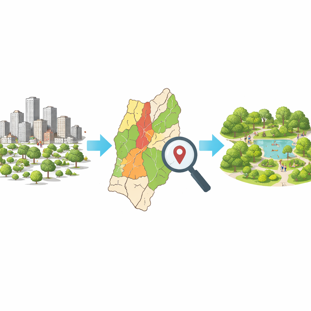
As cities grow, finding room for trees, parks, and other green corners becomes harder—but also more important. Urban green spaces cool overheated streets, soften noise and pollution, and give residents places to walk, rest, and play. This study focuses on Eka Tafo, a rapidly expanding sub-city near Ethiopia’s capital, and asks a simple but powerful question: where should new green spaces go to do the most good for people and the environment?
Growing city, shrinking nature
Eka Tafo is part of the newly developed Sheger City, about 25 kilometers from central Addis Ababa. Its flat-to-rolling highland landscape is being transformed by industry, housing, and roads, fueled by rural migration and its strategic location. As buildings spread, farmland and open land are disappearing, and existing trees and natural areas are under pressure. Like many African cities, Eka Tafo faces the dilemma of needing more housing and jobs while also needing parks and natural spaces that keep the city livable and resilient to heat and climate extremes.
Using smart maps to guide choices
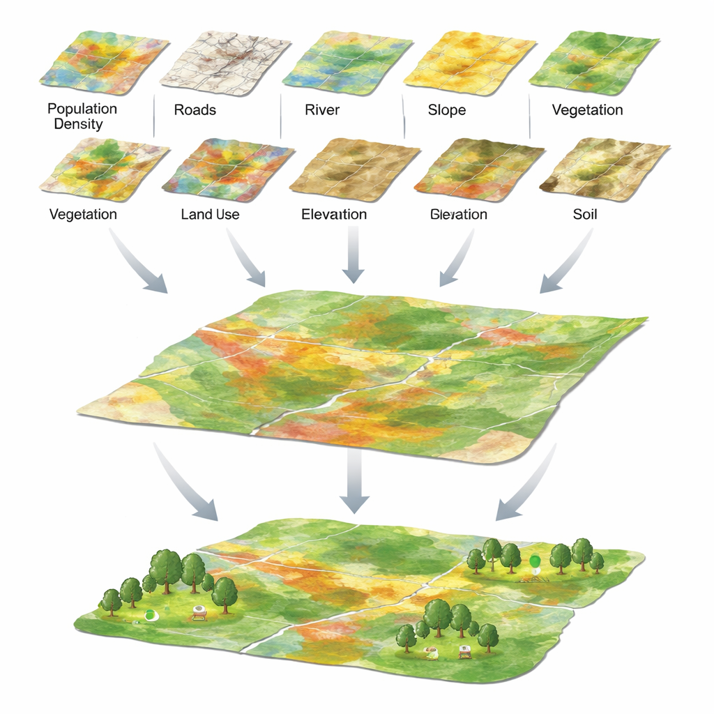
To tackle this challenge, the researchers turned to geospatial technology—essentially, smart digital maps built from satellite images and ground data. They gathered information on eight key factors that influence where green spaces would work best: how many people live in each area, how close places are to roads and rivers, how steep the land is, how high it sits above sea level, what kind of soil it has, how the land is currently used, and how green it already is based on satellite signals from plants. They then used a structured decision method to assign relative importance to each factor, giving more weight to things like population density and road access, which determine how many people can realistically enjoy a new park.
Turning many layers into one clear picture
Each factor was converted into a separate map layer showing how suitable each patch of land was for green space, from “highly suitable” to “unsuitable.” Gentle slopes and lower elevations scored higher, as they are easier and safer for recreation. Areas near rivers were favored because water supports vegetation and pleasant microclimates. Open and agricultural lands ranked higher than dense built-up zones, where converting land into parks is costly and disruptive. The team overlaid all eight map layers, combining their weighted scores into a single “suitability map” of Eka Tafo that highlights where new or improved green spaces would bring the greatest benefit with the least physical constraint.
What the maps reveal about opportunity and limits
The final map divides the sub-city into five categories, from unsuitable to highly suitable for green space development. About 30.7% of Eka Tafo falls into the suitable or highly suitable range, mostly in central and southwestern areas where population is relatively dense, roads are nearby, slopes are gentle, and rivers are accessible. Roughly 28.6% is moderately suitable, suggesting room for improvement with careful design. Meanwhile, about 40.7% of the land is poorly suitable or unsuitable, often because it is too steep, too high, too far from roads and rivers, or occupied by soils that are less favorable for lush vegetation. Interestingly, some crowded built-up areas are flagged as “highly suitable” in social terms—because many people live there and roads are close—even though turning these spaces into parks would be difficult and expensive in practice.
What this means for greener, fairer cities
For everyday residents and city leaders alike, the study’s message is straightforward: Eka Tafo still has significant room to grow its network of parks and green corridors, but those efforts must be targeted. By showing exactly where new green spaces are most likely to serve large populations, fit the terrain, and take advantage of existing rivers and roads, the mapping approach offers a practical guide for investments that deliver maximum health, social, and environmental gains. At the same time, the large share of less suitable land underscores the need for early planning in fast-growing cities, before every open space is built over. The authors suggest refining their method with more advanced decision tools and social data in the future, but even in its current form, the work demonstrates how smart, evidence-based mapping can turn a rapidly urbanizing landscape into a more livable, greener city.
Citation: Diriba, D., Leta, E.D., Demise, D. et al. Green space suitability assessment for sustainable urban development using geospatial technology in Eka Tafo, Ethiopia. Sci Rep 16, 13037 (2026). https://doi.org/10.1038/s41598-026-42053-6
Keywords: urban green space, Eka Tafo Ethiopia, GIS mapping, sustainable cities, park planning