Clear Sky Science · en
A global dataset of onshore wind turbines with site-specific historical (1989–2018) and future (2030–2059) wind resources across 89 countries
Why this matters for our energy future
Wind turbines have become a familiar sight, but behind each spinning blade lies a simple question: how much power can this machine really produce today, and in a warmer world tomorrow? Until now, there was no single, consistent global map that tied every onshore wind turbine to both its local landscape and its changing wind conditions. This paper presents GOWIRES, a new worldwide dataset that does exactly that, offering a detailed look at more than 400,000 land-based wind turbines and the winds that drive them, past and future.
A global picture of real-world wind farms
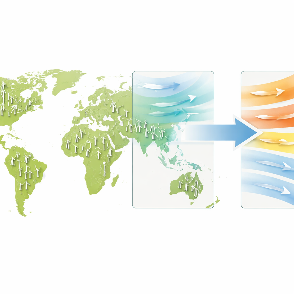
The authors assembled information on 416,417 horizontal-axis wind turbines spread across 89 countries. For each turbine, GOWIRES records its exact position, the country it belongs to, and where the coordinate information came from. Much of the location data is drawn from OpenStreetMap and then checked against official national inventories where they exist. This creates, for the first time, a harmonized view of the world’s onshore wind fleet rather than a patchwork of national snapshots.
What surrounds a turbine matters
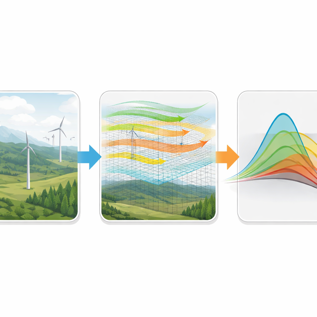
Wind turbines do not stand in a vacuum: hills, forests, and cities all shape the wind that reaches the blades. GOWIRES therefore adds basic environmental context for every site, including elevation, slope, and whether a turbine stands in forested or urban surroundings. It also collects key technical properties such as the rated electrical power, rotor diameter, hub height, and manufacturer where this information is available. Together, these details allow users to study how design choices and local terrain vary from region to region and how they influence the potential electricity output.
From past winds to future possibilities
A central contribution of GOWIRES is that it links each turbine to a description of local wind conditions, both historically and under future climate scenarios. For the past period from 1989 to 2018, the dataset draws on a high-resolution global wind model that blends weather reanalyses, ground measurements, and land-surface characteristics. This model provides typical wind speeds at turbine height and the associated power density of the wind, along with parameters that describe how often different wind speeds occur. Using these, one can reconstruct realistic wind-speed distributions at 100 meters above ground and estimate typical energy yields.
How climate models are brought down to turbine scale
Looking ahead to 2030–2059, the authors use 13 global climate models under two widely used future development pathways to project how winds could change at each turbine. Because climate models operate on coarse grids, they apply a statistical technique called quantile mapping to "downscale" large-scale changes in wind statistics to the fine scale of individual turbines, while preserving the local patterns seen in the historical wind model. For every turbine and every model–scenario combination, GOWIRES stores parameters that describe the future wind-speed distributions, along with a flag that marks rare, extreme shifts that may stem from model artefacts rather than robust climate signals.
Checking the data and using it wisely
The team carefully checked both the turbine locations and the wind resource estimates. They compared OpenStreetMap locations with official registers in five countries that together host over a quarter of global onshore wind capacity, finding that almost nine out of ten turbines match between the two sources within 100 meters. For the wind fields themselves, they validated the underlying wind model against nearly 600 weather stations worldwide and detailed measurements from 79 turbines in Germany. The model reproduces typical wind speeds well, with larger differences mainly at very low and very high winds, where wake effects inside wind farms influence the measurements. The authors stress that the dataset describes undisturbed wind conditions and that users should apply their own wake-loss and data-screening methods for precise engineering studies.
What this new resource means for society
To a non-specialist, GOWIRES can be thought of as a living atlas of the world’s wind power machines and the winds that drive them. It can support research on how much electricity wind farms might produce in coming decades, help planners decide where to repower aging turbines, and guide grid and infrastructure upgrades. Policymakers can test whether national expansion plans are in line with climate goals, and data scientists can use the dataset to train models that search for promising new sites. While some technical details are missing for a subset of turbines and all projections carry uncertainty, the annual updates and transparent quality checks make GOWIRES a powerful, open tool for anyone interested in how wind energy fits into a changing climate.
Citation: Jung, C., Schindler, D. A global dataset of onshore wind turbines with site-specific historical (1989–2018) and future (2030–2059) wind resources across 89 countries. Sci Data 13, 631 (2026). https://doi.org/10.1038/s41597-026-07290-4
Keywords: onshore wind energy, wind resource data, climate change impacts, renewable power planning, global wind turbines