Clear Sky Science · en
A map of high-altitude wetlands in the world’s major mountain regions
Hidden water gardens in the high mountains
High in the world’s great mountain ranges, above the forests and below the permanent snow, lie ribbons and patches of soggy ground that quietly store water and carbon. These high‑altitude wetlands help keep rivers flowing in the dry season and support unique plants and animals, yet they are hard to reach and even harder to see from the ground. This study delivers the first detailed, consistent map of these remote wetlands across four of the planet’s major mountain systems, offering a new window into how mountain “water towers” work in a warming world.
Why mountaintop marshes matter
High mountain wetlands act like natural sponges. Fed by rain, snowmelt, and glacier runoff, they soak up water during wet periods and slowly release it later, smoothing out river flows for communities far downstream. Their thick, waterlogged soils lock away large amounts of carbon, while hardy plants such as sedges, mosses, and cushion plants create islands of life in otherwise rocky terrain. Because glaciers and seasonal snowpacks are shrinking with climate change, these wetlands are becoming even more important as backup water storage and as buffers against extreme dry spells.
A global blind spot in existing maps
Despite their importance, high‑altitude wetlands have been largely invisible in global land‑cover products. Existing maps capture coastal marshes and lowland swamps reasonably well but miss many mountain wetlands, which are small, scattered, and often resemble surrounding grasslands. Previous mapping efforts have usually focused on single regions using methods tailored to local conditions. That makes it difficult to compare mountain wetlands across continents or to study their global role in water and carbon cycles.
Seeing wet ground from space
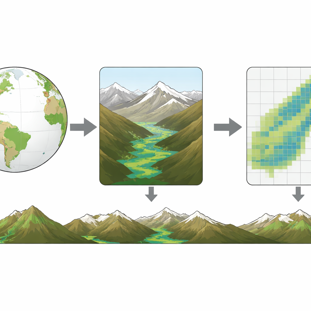
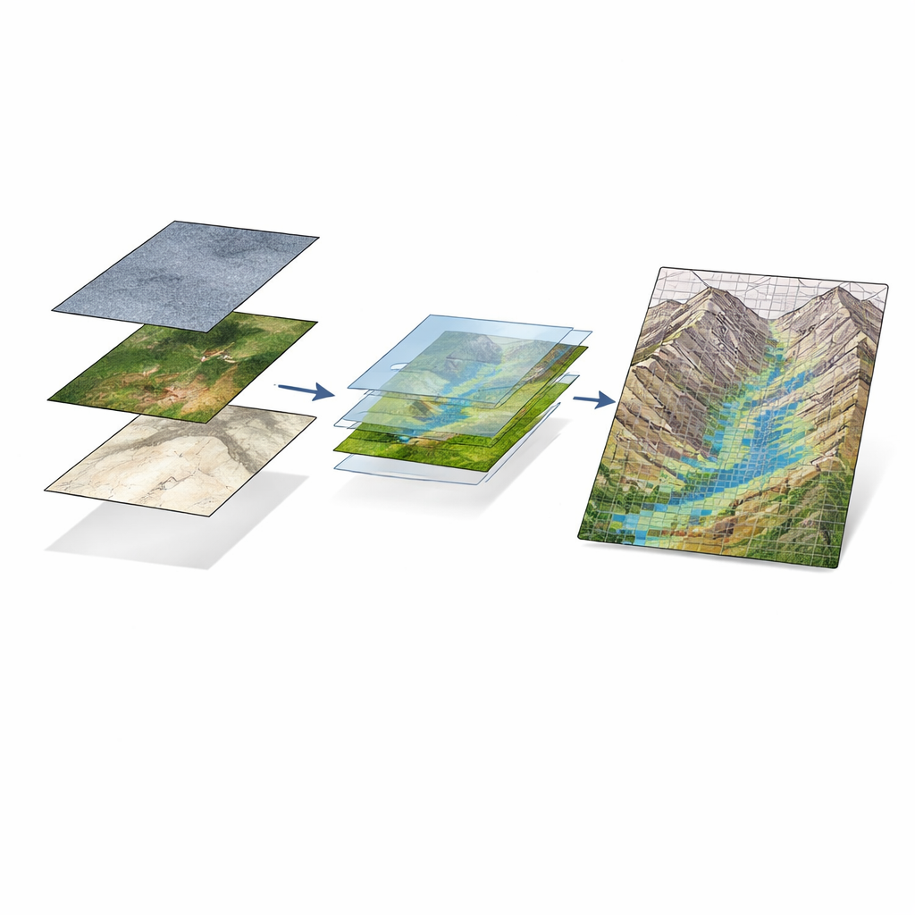
To fill this gap, the researchers built a unified mapping method that works across the Andes, Rocky Mountains, Alps, and High Mountain Asia. They combined freely available satellite data that sense both light and microwaves with elevation and ecosystem information. Optical images from the Sentinel‑2 mission capture how green and moist the land surface appears, while radar images from Sentinel‑1 are especially sensitive to surface water and vegetation structure. Elevation and slope help locate flat valley bottoms where water tends to collect, and an existing global map of ecological regions supplies broad climate and vegetation context. All data were processed in Google Earth Engine, which can handle large image archives and complex calculations over huge areas.
Teaching a computer to spot wetlands
The team then trained a machine‑learning model, known as a random forest, to tell wetlands from non‑wetlands. They assembled over 35,000 labeled points from 12 test areas spread across different climate zones and mountain settings. For some regions, they could draw on national wetland inventories; in others, experts manually traced wetland patches using very high‑resolution imagery and field knowledge. The model learned to recognize patterns in vegetation color, moisture, radar backscatter, terrain position, and ecosystem type that signal wet or dry ground. Rigorous cross‑checks—holding out different sites and even entire regions during training—showed that the method is robust overall, though it performs better in some mountain ranges than others.
What the new map reveals
The resulting 30‑meter‑resolution map shows that high‑altitude wetlands across the four mountain regions together cover more than 30,500 square kilometers where the model is most certain, and over 130,000 square kilometers when including lower‑certainty areas. Accuracy is highest in the Andes and High Mountain Asia, where wetlands tend to be larger and more distinct from their surroundings, and lower in the Alps and parts of the Rockies, where wetlands are small, fragmented, and sometimes hard to distinguish from moist meadows or irrigated fields. The map also provides probability values for each pixel, allowing users to focus on the most reliable areas or explore patterns of uncertainty.
A new baseline for water and climate planning
For non‑specialists, the key message is that vast but overlooked wetland networks lie hidden in the world’s high mountains, storing water and carbon at elevations where glaciers are retreating. By turning scattered local surveys and satellite signals into a single, consistent picture, this work offers a starting point for protecting these fragile “water gardens.” Planners, conservationists, and researchers can now better track how high‑altitude wetlands change over time, assess their role in sustaining rivers and communities, and factor them into strategies for climate adaptation and nature conservation.
Citation: Becker, R., Kropáček, J., Ross, A.C. et al. A map of high-altitude wetlands in the world’s major mountain regions. Sci Data 13, 656 (2026). https://doi.org/10.1038/s41597-026-07020-w
Keywords: high mountain wetlands, satellite mapping, water resources, mountain ecosystems, climate change