Clear Sky Science · en
Spatial heterogeneity of Luoyang graded heritage networks revealed by dual-path TOPSIS–RSR analysis and MGWR
Why ancient city heritage still matters today
Across China, fast-growing cities are struggling to protect the traces of much older urban lives buried in their streets, fields and river valleys. In Luoyang—one of China’s great historic capitals—more than a thousand important heritage sites compete with modern roads, housing and industry for space. This study asks a simple but urgent question: how can planners decide which sites and corridors deserve the strongest protection, and where limited funds and controls will do the most good?

Turning scattered relics into a connected picture
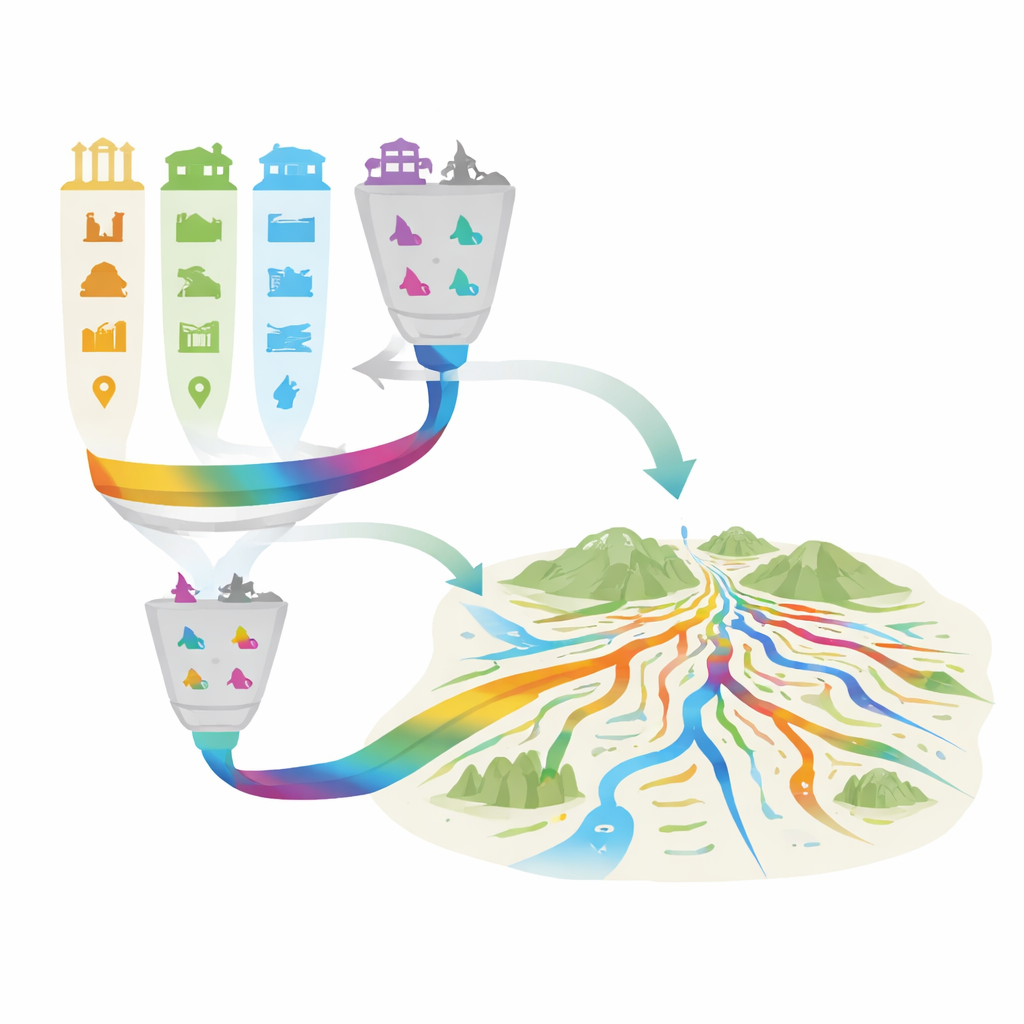
The researchers begin by treating Luoyang’s Ancient Capital Cultural Heritage (ACCH) as a city-wide system instead of a collection of isolated monuments. They assemble a detailed map of 1,190 sites, from world-famous grottoes and ancient city ruins to traditional villages and scenic areas. For each site, they record eleven aspects of its situation, including official protection level, legal status, nearby economic activity, land use, population pressure, terrain, roads and water. Because these factors use different units and carry different kinds of importance, the team applies a decision framework that converts them into comparable scores and then blends expert opinions with data-driven weights. This produces a single, transparent rating for how exposed each site is to loss under current development pressures.
Two ways to rank what deserves protection first
Ranking hundreds of places is tricky: simple scoring methods can be distorted by extreme values, while pure ranking can hide differences between similar sites. To reduce these risks, the authors deliberately run two parallel grading paths. One path builds on a classic “distance to ideal” score, which prefers sites that look most like a hypothetical best case and least like a worst case. The second path relies on the order of sites alone, focusing on who is ahead or behind rather than by how much. Each path can divide sites into three broad bands (high, medium, low priority) or five finer bands (from excellent down to poor). By comparing the two sets of results in a confusion matrix, the team finds that the extremes—highest and lowest priority sites—are very consistent, while most disagreement lies in the middle tiers. They then design a combined scheme that keeps the shared extremes and treats borderline cases more cautiously, flagging them for extra checking rather than automatic upgrading or downgrading.
Tracing invisible heritage corridors through the landscape
Once sites are graded, the study moves from points on a map to the paths that connect them. The authors model how cultural “influence” might spread across the landscape, drawing on a tool originally used to trace animal movements. Instead of animal energy, they consider development resistance: steep slopes, high elevations, rivers, and incompatible land uses make it more “costly” for a continuous heritage route to pass through; gentle plains and compatible land uses make it easier. Feeding the graded sites into this cost surface reveals main trunks, side branches and narrow bottlenecks of cultural connectivity. In Luoyang, the strongest corridors run through the basin and valley of the Luo and Yi Rivers, linking iconic ruins, grottoes and historic city sites along an east–west and northeast–southeast axis. Secondary routes weave between suburbs and counties, while weak links and gaps appear in mountainous or heavily fragmented fringe areas.
Reading the city’s pressures at different scales
To understand why risk is higher in some places than others, the team uses a spatial analysis that allows each factor to matter at its own scale. This reveals a clear hierarchy among the drivers. Land-use conditions—whether a site sits amid dense buildings, cropland or water—are important everywhere, forming a city-wide backdrop of development pressure. Clustering of heritage sites itself sharpens risk along the main urban–plain corridor, where many valuable places and easy access coincide. Elevation and rivers play a more local role, creating gates and bottlenecks where corridors must cross hills or waterways. In contrast, broader measures like district-level economic output, population or road proximity add little once land use and clustering are known. Importantly, the remaining prediction errors are small and largely free of hidden spatial patterns, suggesting that the main messages are robust.
From maps to real-world decisions
For non-specialists, the outcome is a decision-ready map that turns complex calculations into understandable priorities. High-grade sites and corridors point to where strict protection, generous buffers and careful review of new construction are most urgent. Middle grades highlight where modest changes in land use, local paths or visitor facilities could greatly improve connectivity. Low grades do not mean “unworthy,” but signal that basic safeguarding and community care may be more realistic than ambitious corridor building. By making the logic of grading auditable and tying it directly to visible routes and local land conditions, the study offers Luoyang—and other historic cities—a practical way to steer growth while keeping their deepest layers of history legible and alive.
Citation: Zhang, H., Hu, W., Bai, C. et al. Spatial heterogeneity of Luoyang graded heritage networks revealed by dual-path TOPSIS–RSR analysis and MGWR. npj Herit. Sci. 14, 216 (2026). https://doi.org/10.1038/s40494-026-02481-z
Keywords: cultural heritage corridors, Luoyang ancient capital, spatial planning, heritage risk mapping, network-based conservation