Clear Sky Science · en
Exploration of heat island effect assessment methods for future land simulation scenarios: a case study of Beijing
Why city heat islands matter to everyday life
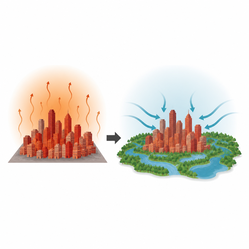
On hot summer days, big cities often feel like giant ovens, staying warmer than the surrounding countryside well into the night. This "urban heat island" effect raises cooling bills, worsens air pollution, and can even endanger health during heatwaves. The study behind this article asks a practical question: how can city planners shape future land use so that the city of Beijing in 2030 stays cooler, rather than getting even hotter?
How city surfaces shape local warmth
The researchers start from a straightforward idea: different surfaces on the ground heat up in different ways. Paved areas, bare soil, and dense building clusters tend to trap heat, while forests, grass, and water stay cooler and help lower the surrounding temperature. Using satellite data for Beijing in 2020, the team compared land surface temperature with six basic land types, such as cropland, forest, water, and hard built surfaces. They found that gray areas like roads, roofs, and bare ground contributed the most to higher temperatures, while blue and green areas like water and forest added very little heat and acted as natural coolers.
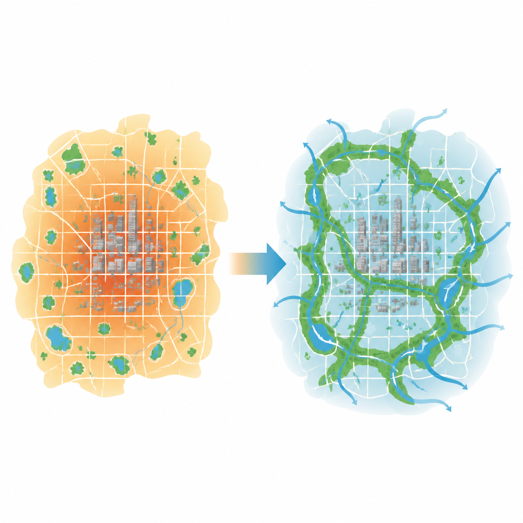
Finding the city’s natural cooling hubs
Instead of just mapping hot and cool spots, the study zoomed in on where cooling power is concentrated. The authors identified "cold island core sources" – clusters of forests, water, and other cool patches that work together like a network of natural air conditioners. In 2020 these core areas covered about one fifth of Beijing, mainly in the surrounding mountains and along major reservoirs. The team also studied how easily this cool influence can spread across the city, taking into account population, elevation, rainfall, and transport networks. They combined these factors into a "resistance surface" that shows where the landscape helps or blocks the spread of cooler air.
Imagining four futures for Beijing’s growth
To see how planning choices might reshape the city’s climate, the researchers simulated four possible land use maps for Beijing in 2030. A "normal development" option assumes today’s trends continue. A "cold island development" path strengthens forests and water inside and around the city, protecting and expanding the main cooling cores. An "expansion" plan allows more rapid growth of paved and built areas. An "integrated" plan tries to balance farming, building, and green space protection based on official planning goals. For each future map, they then estimated surface temperatures and mapped heat island intensity.
Which path keeps the city coolest
Across all futures, the hottest zones remain in the dense southeastern urban area, while the coolest zones cluster in northern forests and near large water bodies. However, the overall heat burden changes with each development style. The expansion scenario produces the strongest heat island effect, as new hard surfaces weaken the structure and reach of the city’s cool cores. The normal and integrated paths still leave Beijing warmer than it was in 2020. Only the cold island development scenario, which protects and links green and blue spaces, reduces the overall heat island index compared with current conditions, even though some very small bare patches can still become extremely hot.
What this means for cooler and safer cities
To someone living in a growing city, the message is clear: where and how we build matters for future summer heat. The study shows that treating parks, forests, rivers, and reservoirs as a connected cooling network can meaningfully weaken the urban heat island, while unchecked paving and sprawl make it worse. For Beijing, the scenario that favors expanding and linking these natural cool zones offers the most comfortable future climate, and the same logic can guide other cities as they design land use plans that protect residents from extreme heat.
Citation: Yang, Z., Tian, L. & Zhao, L. Exploration of heat island effect assessment methods for future land simulation scenarios: a case study of Beijing. Humanit Soc Sci Commun 13, 714 (2026). https://doi.org/10.1057/s41599-026-07024-2
Keywords: urban heat island, Beijing land use, urban cooling, green space planning, future climate scenarios