Clear Sky Science · en
Wetlands set the pace of annual runoff in the northern Great Plains
Why prairie wetlands matter to water and floods
The rolling grasslands of the northern Great Plains are dotted with millions of small ponds known as prairie pothole wetlands. At first glance they look like scattered blue freckles on the landscape, but this study shows they quietly control how much water leaves the land as river flow each year. Understanding this hidden role is crucial for managing floods, droughts, and water quality in one of North America’s most productive farm belts.
Small depressions with a big job
The Prairie Pothole Region stretches across parts of Canada and the United States and contains five to eight million shallow, glacially carved wetlands. Most of these pools are not permanently connected to rivers. Instead, they fill with snowmelt and rain, and only sometimes spill over their rims and connect to nearby channels. In wet years, neighboring depressions can merge into large water complexes. These fill–spill cycles not only shape when and how rivers run high or low, but also determine whether wetlands trap or release nutrients and carbon downstream. Until now, however, most of what we knew about these dynamics came from isolated case studies, leaving open the question of how important wetlands are for year-to-year river behavior across the entire region.
Tracking water from space and on the ground
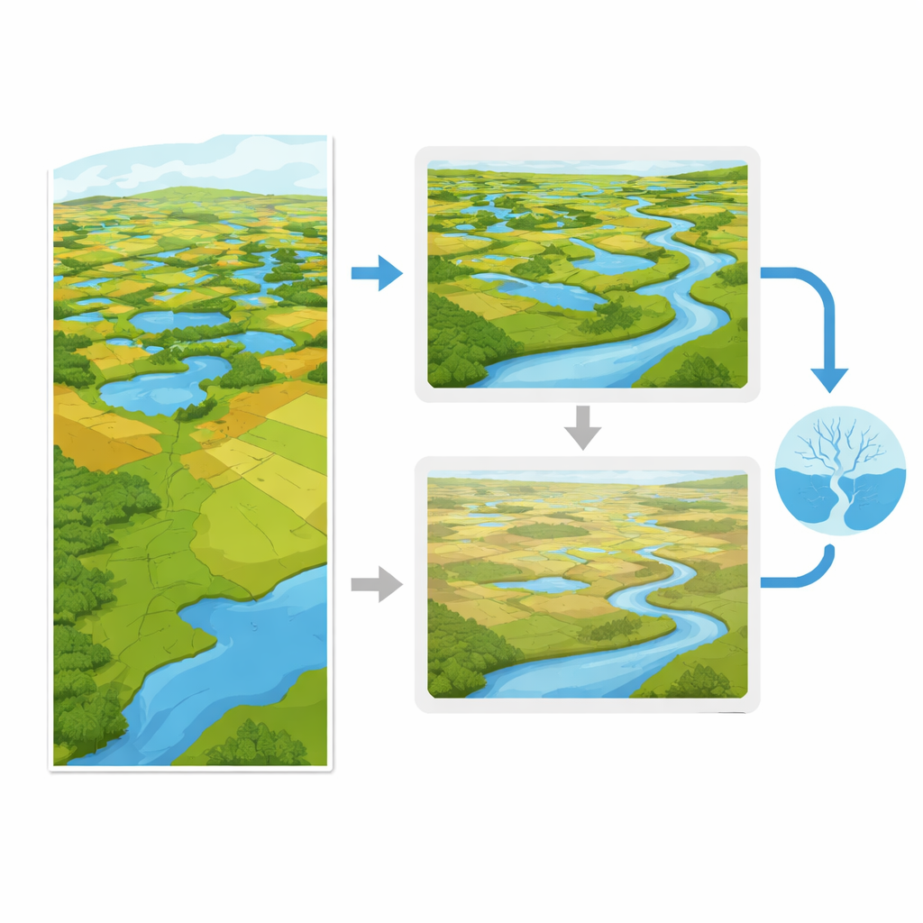
To answer this, the researchers combined 38 years of satellite images with climate records and river measurements from 109 drainage basins across the Prairie Pothole Region. From the satellite data they calculated, for each year, how much of each basin’s area was covered by standing water in wetlands at least once during the “water year” (from October to September). They call this the Maximum Inundated Wetland Area, which reflects how many potholes actually held water long enough to matter for runoff. From river records they computed how much of the year’s precipitation left the basin as streamflow, and how efficiently extreme rain and snow events translated into high flows. They also assembled a suite of climate indicators, including dryness, snowiness, and the timing and intensity of rainfall and snowmelt.
Wetlands, not weather, set the yearly pace
Using a statistical approach that teases apart overlapping influences, the team compared the explanatory power of climate versus wetland inundation. In nearly seven out of ten basins, changes in wetland water coverage from year to year were more strongly linked to annual runoff than any climate index the authors tested, including how dry the year was or how long snow persisted. Climate still matters, but mainly because it controls how much water ends up stored in wetlands. In many basins, for example, years with longer-lasting snow cover tended to produce more extensive wetland flooding, which in turn led to higher river flows. Once the effect of wetland inundation was accounted for, the direct statistical link between climate and runoff weakened sharply.
Hidden thresholds and natural buffering
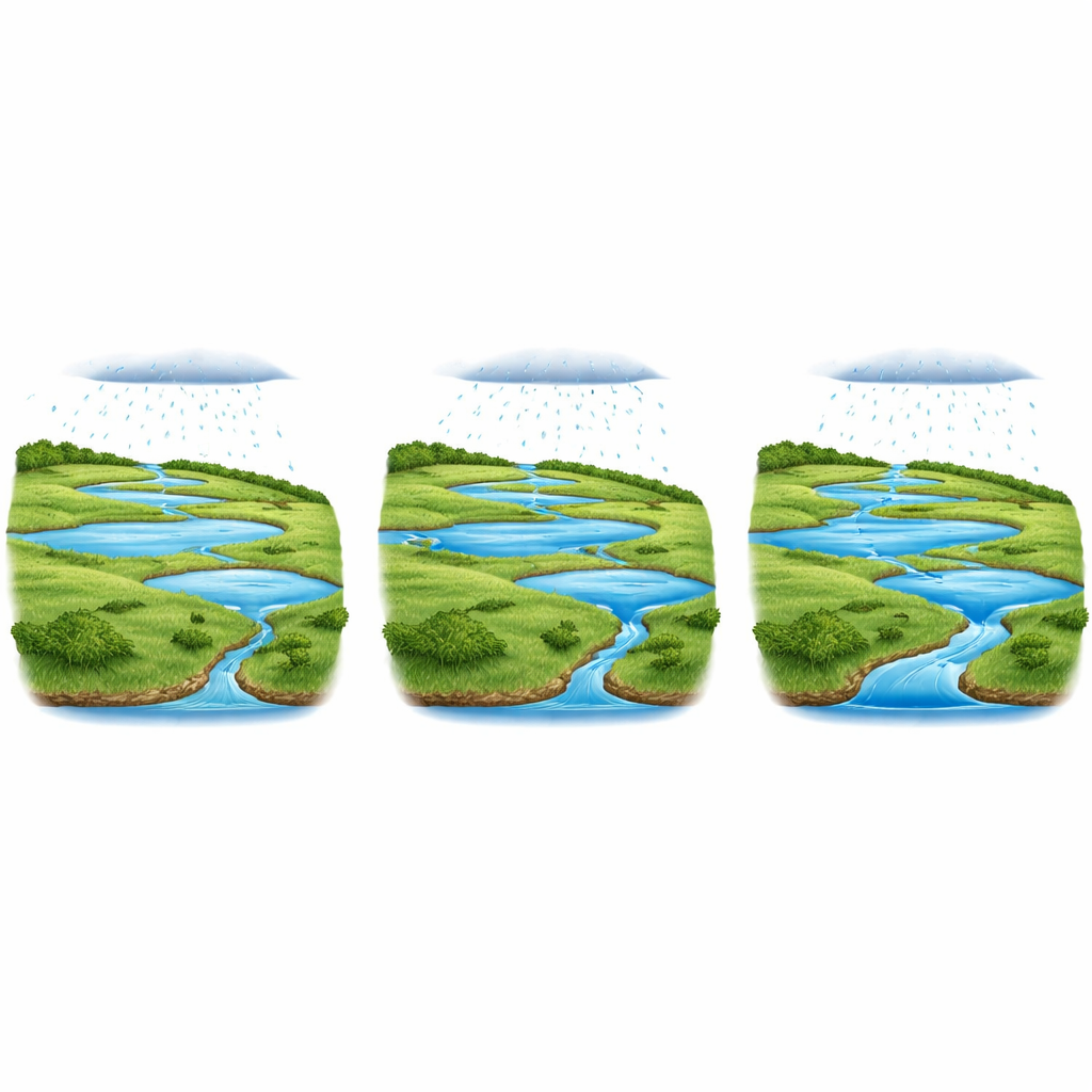
The authors then explored how runoff responds as more and more of a basin’s wetlands fill with water. In most basins where wetlands dominated, the relationship turned out to be strongly nonlinear. For many years, even as more potholes filled, very little extra water reached the rivers: the landscape behaved like a sponge, soaking up and storing incoming moisture. But once a critical fraction of wetland area was inundated, additional water suddenly translated into much larger river flows and more frequent high-flow events. This threshold-like behavior was strongest in basins rich in “geographically isolated wetlands” – depressions situated away from main river channels. Where these isolated pools are widespread, they provide substantial storage that can hold back water until they collectively tip into a spill-dominated state.
What this means for floods, droughts, and water quality
These findings recast prairie wetlands as active regulators of the regional water cycle rather than passive puddles. By storing water during fill phases and releasing it only once certain thresholds are crossed, they dampen swings between wet and dry years and throttle the translation of intense storms into damaging floods. The same thresholds apply to nutrients: when wetlands are in a storage mode they tend to retain fertilizers and other pollutants; when they spill, those materials can be flushed rapidly into downstream lakes and rivers. As climate change alters snowpack and storm patterns and as drainage continues to remove depressional wetlands, many basins risk shifting from buffered, storage-dominated behavior to more linear, climate-driven regimes with flashier floods and less drought resilience.
Why protecting prairie ponds protects people
For non-specialists and decision makers, the take-home message is straightforward: in the northern Great Plains, the area of land covered by water in wetlands each year largely determines how much water, and potentially how many nutrients, reach rivers. Climate sets the inputs, but inundated wetlands set the pace. Maintaining and restoring these small, often unprotected depressions – especially those not directly connected to rivers – is therefore a powerful, nature-based strategy for stabilizing water supplies, reducing flood risks, and improving downstream water quality in a warming, intensively farmed region.
Citation: Rahmani, J., Creed, I.F., Badiou, P. et al. Wetlands set the pace of annual runoff in the northern Great Plains. Commun Earth Environ 7, 368 (2026). https://doi.org/10.1038/s43247-026-03318-0
Keywords: prairie pothole wetlands, runoff buffering, flood risk, wetland conservation, Great Plains hydrology