Clear Sky Science · en
Warmer temperatures lead to wetter tropical cyclones in the North Atlantic
Why storm rain is changing
Tropical cyclones in the North Atlantic are already infamous for dumping huge amounts of rain, from Caribbean islands to the US East Coast. As oceans and air warm, communities want to know: will future storms bring even heavier downpours, and will that rain fall close to the storm’s eye or spread far and wide? This study digs into more than two decades of satellite and weather data to show how warming is reshaping the size, structure, and rainfall of both tropical cyclones and the sprawling post-tropical storms they often become.
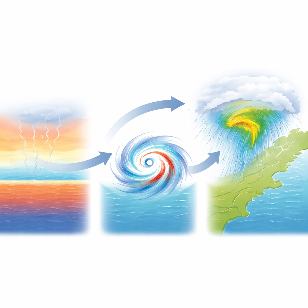
Measuring the true size of a storm
To understand how storms respond to temperature, the authors first needed a better way to define how big a cyclone really is. Instead of using a fixed distance around the center, or a traditional pressure-based measure, they built a new, wind-based radius called r6. This radius marks how far from the center the swirling winds remain strong enough to be part of the storm’s circulation. Calculated from high-resolution ERA5 reanalysis winds for hundreds of North Atlantic storms between 2001 and 2024, r6 tracks how storm size changes through time, from compact tropical systems to much broader post-tropical ones. The team then used satellite rainfall estimates to focus specifically on heavy rain, defined as the top few percent of rainfall rates inside this evolving storm envelope.
Two very different phases of the same storm
Tropical cyclones and their post-tropical descendants turn out to respond to warming in strikingly different ways. While storms are still tropical, warmer and moister conditions tend to make them more compact: their wind fields contract, and the heaviest rain shifts closer to the eye. Yet at the same time, that inner-core rain intensifies sharply with temperature, growing at roughly two to three times the rate expected just from the atmosphere’s ability to hold more moisture. When storms move north and become post-tropical, they usually grow larger and more lopsided, spreading rain out along fronts over hundreds of kilometers. In this later phase, local surface warming has a much weaker influence on storm size and on where the heaviest rain falls, because large-scale midlatitude weather patterns now dominate.
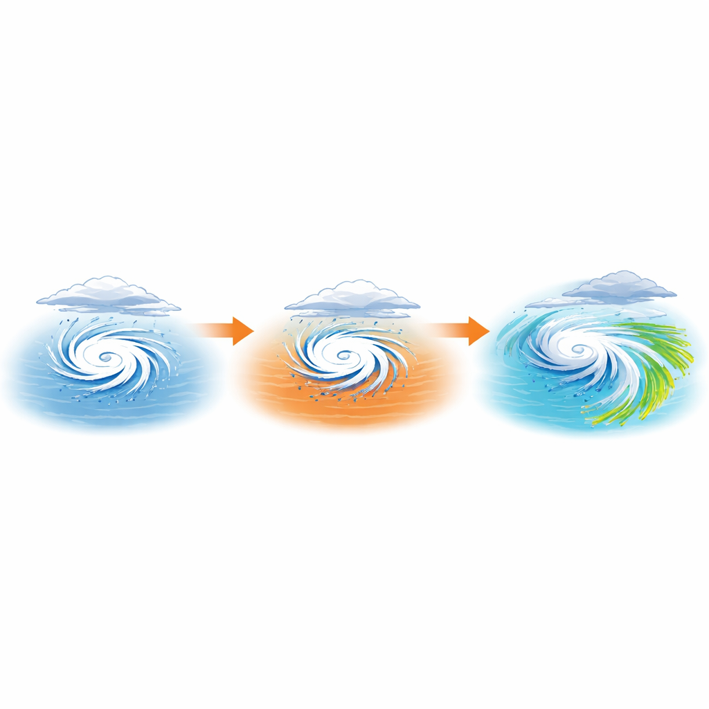
How warming boosts downpours
The study examined several ways to describe “how warm” the environment is: near-surface air temperature, dew point temperature (a measure of moisture), sea-surface temperature, and a combined heat-and-moisture measure called equivalent potential temperature. For tropical cyclones, heavy-rain intensity increased most strongly with air temperature and dew point, often more than tripling the classic expectation that rainfall should rise by about 7 percent per degree of warming. Not only did the rain get more intense, but the total amount of heavy rain and, for most temperature measures, the area covered by that rain also increased. A key twist is that over very warm seas, storms could become unusually large and long-lived, especially in the Caribbean, where weak steering winds slow them down. Slower motion lets intense rain linger over the same place, greatly amplifying flood risk.
Hidden controls: moisture, motion, and latitude
Beyond simple temperature, the results show how moisture levels, storm speed, and location shape rainfall impacts. In warm, humid, low-latitude environments, tropical cyclones tend to be more symmetric, with a tight ring of fierce thunderstorms wrapped around the eye. This favors very intense inner-core rainfall, even though the overall storm shrinks. At higher latitudes and during the post-tropical phase, stronger wind shear and interaction with weather fronts stretch storms out and push the heaviest rain far from the center, creating broad swaths of moderate to heavy rain but less sensitivity to local warming. The study also highlights that slower-moving storms in warm regions can generate extreme multiday totals, even if their footprint of heavy rain does not grow as much.
What this means for people in harm’s way
For residents along the Atlantic and Caribbean coasts, the message is sobering but clear. As oceans and air continue to warm, tropical cyclones are likely to bring heavier, more concentrated downpours near their cores, and in some regions may grow larger and move more slowly, greatly increasing flood risk. Post-tropical storms will remain broad, rain-filled systems whose behavior is steered more by large-scale weather patterns than by local sea temperatures, but they too can tap into a warmer, moister atmosphere. The study’s new storm-size metric and detailed look at temperature–rainfall links provide a more realistic picture of how cyclone rain is evolving, helping planners and forecasters better anticipate where and when the most dangerous flooding will occur in a warming climate.
Citation: Ali, H., Fowler, H.J., Reed, K. et al. Warmer temperatures lead to wetter tropical cyclones in the North Atlantic. npj Clim Atmos Sci 9, 90 (2026). https://doi.org/10.1038/s41612-026-01363-2
Keywords: tropical cyclones, hurricane rainfall, climate warming, post-tropical storms, flood risk