Clear Sky Science · en
Fluctuating soil salinity across natural and managed landscapes of the coastal mid-Atlantic facing rapid sea-level rise
Why salty soils matter for coastal communities
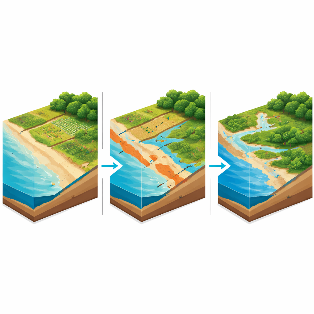
Along the U.S. mid-Atlantic coast, rising seas and stronger storms are quietly pushing saltwater into the ground. That creeping salt can damage crops, drown forests, and reshape marshes that protect shorelines. This study looks at how soil salt levels have shifted across the Delmarva Peninsula— the low-lying land shared by Delaware, Maryland, and Virginia—over 16 years. By blending satellite images with global soil data, the authors show where conditions are getting better, worse, or simply more complicated than we might expect.
Tracking a changing coast from space
Measuring salt in the soil across a whole region is normally slow and expensive, because it relies on on-the-ground sampling. The researchers instead turned to satellites and computer models. They used a machine-learning method to classify land into broad types such as farmland, forest, marsh, bare ground, water, and other vegetation. This classification drew on years of Landsat imagery, processed with a technique that flags even subtle land changes over time. They then combined these land-cover maps, at 30-meter resolution, with a global map that sorts soils into five saltiness levels, from fresh to extremely salty.
More fresh soils, fewer extreme hotspots
Between 2000 and 2016, more than three-quarters of Delmarva’s land area stayed in the lowest salt category, and that fresh-soil zone grew by over a thousand square kilometers. Places with the highest salt levels shrank by more than 800 square kilometers. Slightly salty areas first expanded, then declined sharply. Moderate and highly salty zones were always rare. Yet the picture was far from uniform. Salinity surged and fell in patches, especially along coasts and inland waterways, reflecting the tug-of-war between storm surges, sea-level rise, rainfall, and drainage.
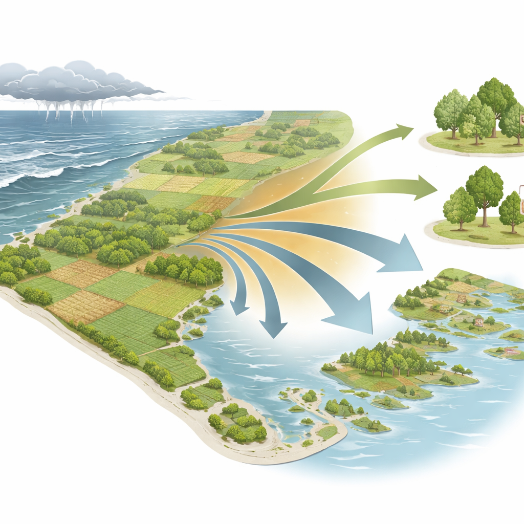
Farms, forests, and marshes on the move
The team also asked how different land types fared across this shifting salt backdrop. Forests gained the most ground overall, followed by other non-crop vegetation, while farmland and bare soil declined, and marshes saw a modest net loss. Most farmland sat on non-salty soils, and that fresh farmland area expanded slightly. At the same time, farmland in slightly and extremely salty zones shrank, leading to an overall drop in cropland. Other vegetation often replaced farmland, but some of that land later cycled back into crops when salt levels eased. Forests expanded mainly in fresher areas, and even where salinity changed, they often continued to spread. Marshes lost area to water, farmland, and other vegetation, even though some new marsh formed where conditions allowed.
Fluctuations rather than a one-way slide
One striking pattern was stability: over 83% of the area, whether land cover stayed the same or switched types, did not change salinity category at all. When changes did occur, they were more likely to move toward lower salt than higher. That suggests that short, salty episodes from storms can sometimes be offset by rainfall, drainage, plant uptake, and careful land management. The authors argue that Delmarva’s story differs from many dry regions where salt build-up often leads to abandoned fields and dying vegetation. Here, active management and a wetter climate can help landscapes bounce back—at least for now.
What this means for the future coast
For residents, farmers, and planners, the study’s message is both cautionary and hopeful. Delmarva is clearly vulnerable to saltwater intrusion, especially in low-lying coastal fringes and along rivers and ditches. Marsh loss and conversions to open water echo broader concerns about sea-level rise and the fate of coastal wetlands. Yet the growth of fresh soils and forests, and the frequent return of land from higher to lower salinity, show that outcomes are not predetermined. Regular, satellite-based monitoring can pinpoint where soils are tipping toward trouble and where mitigation is working, helping communities prioritize fields, forests, and marshes that are most worth protecting as the seas continue to rise.
Citation: Sarupria, M., Vargas, R., Park, T. et al. Fluctuating soil salinity across natural and managed landscapes of the coastal mid-Atlantic facing rapid sea-level rise. Sci Rep 16, 10832 (2026). https://doi.org/10.1038/s41598-026-45611-0
Keywords: soil salinity, saltwater intrusion, coastal agriculture, sea-level rise, remote sensing