Clear Sky Science · en
The snow meteorology and phenology classification (SnowMAP): global snow cover observations enhance snow’s representation
Why the Shape of Winter Matters
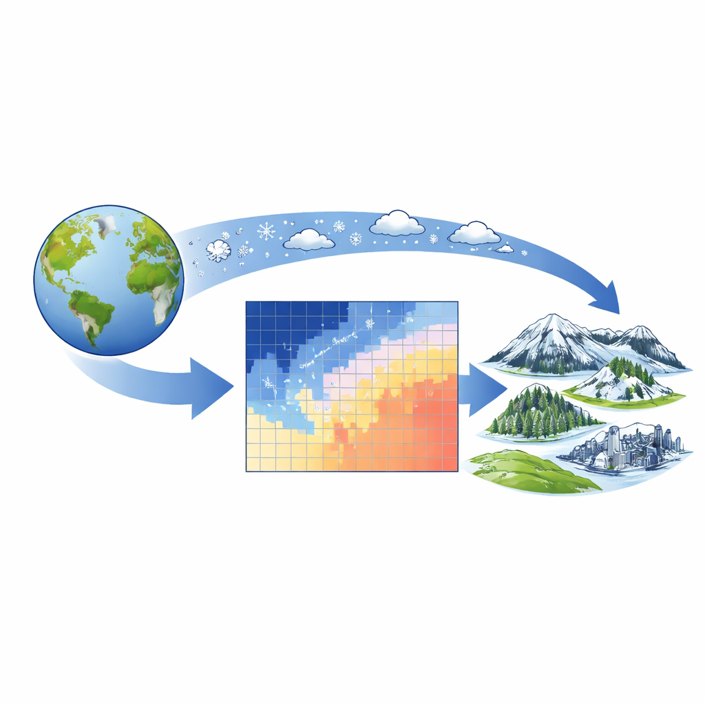
Snow is far more than a pretty backdrop for holidays and skiing. It stores water for billions of people, cools the planet, feeds forests and farms, and affects roads, rails, and power lines. Yet not all snow is the same: in some places it arrives in brief bursts and vanishes within days, while elsewhere it piles up for months. This study introduces a new global system, called SnowMAP, that describes both what kind of snow a place gets and how long it lasts, offering a clearer picture of how winter works—and how it is changing.
From Simple Snow Types to a Richer Winter Map
For decades, scientists have sorted the world’s snow into a handful of broad categories based mainly on long‑term weather patterns: how cold it is, how much it snows, and how windy it gets. This earlier system defined snow environments such as tundra, prairie, maritime, and boreal forest. It has been widely used to plan fieldwork, guide satellite studies, and estimate hard‑to‑measure properties like snow depth and density. But it misses a key ingredient that people care deeply about: the timing of snow—when it arrives, how often it comes and goes, and how long it lingers into spring.
Adding the Rhythm of the Seasons
Satellite records since 2000 now provide a detailed history of when the ground is actually covered by snow at nearly every point on Earth. Using these images, earlier work grouped locations into five broad “snow season” patterns: places with no regular snow, areas where snow appears only briefly (ephemeral), regions with several on‑and‑off cycles (transitional), zones with long continuous cover (seasonal), and spots where snow and ice are permanent. The new SnowMAP system merges these seasonal behavior patterns with the traditional weather‑based snow types. The result is 18 combined classes—such as “transitional prairie” or “seasonal tundra”—that describe both the physical character of the snow and its yearly rhythm.
Where Different Winters Live
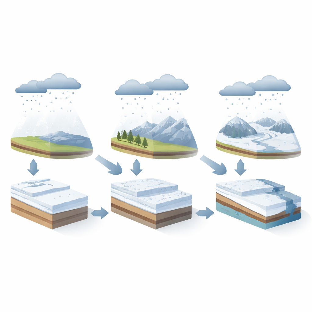
Mapping SnowMAP worldwide reveals how diverse our winters really are. More than half of the world’s land sees little or no regular snow, and most of the remaining snowy areas lie in the Northern Hemisphere. Within each weather‑based snow region, the team found a mix of seasonal behaviors. Prairie snow, shaped by wind and modest cold, is almost entirely ephemeral or transitional, rarely forming a deep, lasting blanket. Maritime mountain regions, with heavy precipitation and milder air, host all three seasonal types: fleeting snow at low elevations, more stable cover higher up, and long‑lasting snowpacks at the highest peaks. Boreal forests and tundra tend to have the longest‑lasting snow, but even there some areas only hold snow intermittently, such as parts of the high, dry Tibetan Plateau.
What the New Classes Reveal About Depth, Water, and People
By matching SnowMAP’s classes with decades of ground‑based snow depth measurements, the authors show clear patterns: as locations shift from ephemeral to transitional to seasonal within the same weather setting, snow becomes deeper, the peak depth arrives later in the winter or spring, and the cover becomes more consistent from year to year. Elevation and latitude strongly shape which seasonal type appears where, but land cover and human presence matter too. Ephemeral and transitional snow zones are where most people live and where road networks are densest, meaning small changes in winter conditions can have outsized impacts on travel and commerce. The study also demonstrates practical uses: for example, more than 10,000 ski areas worldwide cluster in just a few SnowMAP classes, many of them in marginal or intermittent snow climates that are especially sensitive to warming.
Turning Complex Winters into Useful Insights
SnowMAP does not attempt to predict the exact depth of snow in a given week. Instead, it offers a decision‑ready language for describing typical snow conditions and their seasonal behavior in every snowy region on Earth. By tying together long‑term weather, satellite‑observed timing of snow cover, landscape features, and human infrastructure, it helps scientists, planners, and communities understand where snow is reliable, where it is fickle, and how shifts in climate may reshape winter water supplies, ecosystems, and recreation. In short, SnowMAP translates the complexity of global snow into a set of clear patterns that can inform choices about water management, engineering, conservation, and our everyday lives in a warming world.
Citation: Johnston, J., Jacobs, J.M., Vardaman, M. et al. The snow meteorology and phenology classification (SnowMAP): global snow cover observations enhance snow’s representation. Sci Rep 16, 14075 (2026). https://doi.org/10.1038/s41598-026-44321-x
Keywords: snow cover, climate change, water resources, satellite observations, winter recreation