Clear Sky Science · en
Projected intensification of precipitation extremes in the Kosi Basin using CMIP6 models
Why this river’s future matters
The Kosi River, flowing from the Himalayas into the plains of Nepal and India, already has a dramatic nickname: the “Sorrow of Bihar,” thanks to its history of devastating floods. This study asks a pressing question for millions of people living along its banks: as the climate warms, how much worse could extreme rainfall and flooding become? By carefully testing and combining the latest global climate models, the authors estimate how heavy downpours, very wet days, and prolonged wet spells over the Kosi Basin are likely to change by the end of this century.
Where mountains, monsoon, and people meet
The Kosi Basin stretches from snowy Himalayan uplands to flat, densely populated farmlands in northern Bihar. Monsoon rains feed the river, but they also drive frequent floods, embankment breaches, and large shifts in the river’s course. Past disasters, such as the 2008 flood that displaced hundreds of thousands, show how even a modest shift in rainfall can translate into major human and economic losses. Because agriculture, infrastructure, and daily life in the basin depend on the timing and intensity of rainfall, getting reliable projections of future extremes is critical for planning dams, embankments, drainage, and disaster-response systems.
How scientists tested the climate models
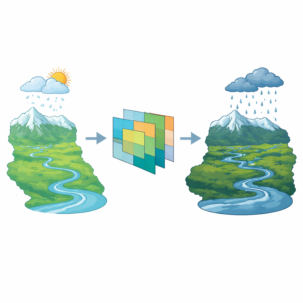
The researchers began with data from 13 global climate models participating in the latest international comparison effort known as CMIP6. These models were first refined using statistical techniques so that their coarse global output better matched local conditions over the Kosi region. The team then compared each model’s simulated rainfall extremes against a high-resolution reference dataset (ERA5), focusing on eight widely used indicators of extreme rain. These indicators track features such as the total amount of rain on wet days, the number of heavy-rainfall days, the wettest single day and wettest five-day periods each year, and how many days in a row stay wet.
Picking the best mix of models
Rather than trusting any single model, the authors used a structured scoring system to judge performance. They combined several statistical measures—such as errors in amount, bias, and how well patterns matched observations—into an objective weighting scheme that reduces personal judgment. Four independent ranking methods were then applied to produce an overall score for each model. Three models (MPI-ESM1-2-HR, INM-CM5-0, and BCC-CSM2-MR) consistently performed best at reproducing past extremes, while some others showed weaker agreement. The team then built several “ensembles” by averaging the results of the top 3, 5, 8, or all 13 models, and checked how well each ensemble captured both the size of extremes and the way different rainfall indicators move together.
The eight-model blend and what it predicts
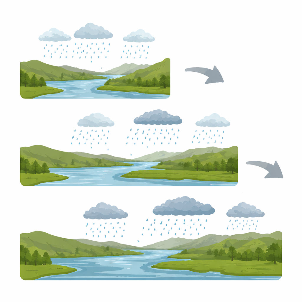
An ensemble built from the top eight models emerged as the sweet spot. It best balanced accuracy and uncertainty, closely mimicking observed relationships between moderate and extreme rainfall and reducing unexplained differences without washing out the strongest events. Using this eight-model blend, the authors examined two future pathways: a mid-range emissions scenario and a high-emissions, fossil-fuel-heavy scenario. In all cases, extreme rainfall grows stronger, but the high-emissions future late in the century stands out. By 2061–2100 under this pathway, total annual rain could rise by nearly half, days with heavy rain could increase by about 60 percent, and the most extreme downpours could intensify by almost 80 percent. Short, intense bursts and multi-day deluges both become more common, pointing to greater flood and landslide danger.
What this means for people and planning
In plain terms, the study concludes that the Kosi Basin is headed toward a future that is not just wetter, but more violently so: more days with heavy rain, more extremely wet days, and stronger peak storms. For communities along the river, this raises the odds of damaging floods, sudden surges, and prolonged waterlogging of farmlands. Just as important, the work shows that carefully selecting and combining only the most reliable climate models can sharpen regional forecasts, giving planners a firmer basis for designing flood defenses, managing reservoirs, and preparing for climate-related disasters in one of South Asia’s most vulnerable river systems.
Citation: Singh, A.K., Roshni, T. & Singh, V. Projected intensification of precipitation extremes in the Kosi Basin using CMIP6 models. Sci Rep 16, 12565 (2026). https://doi.org/10.1038/s41598-026-43723-1
Keywords: extreme rainfall, Kosi River Basin, climate change, flood risk, CMIP6 models