Clear Sky Science · en
Selection of emergency logistics facility locations considering major natural disasters in mountainous cities based on GIS-MCDM
Why planning for disasters before they strike matters
When a major storm, landslide, or earthquake hits a remote mountain city, getting food, water, and medical supplies to people in time can mean the difference between life and death. Yet many emergency warehouses and staging centers were never designed with today’s climate-fueled disasters or rugged mountain terrain in mind. This study asks a simple but urgent question: where should we place emergency logistics facilities so that help can reach the most people, as quickly and safely as possible, in mountainous regions like China’s Guizhou Province?
Understanding the challenge in mountain regions
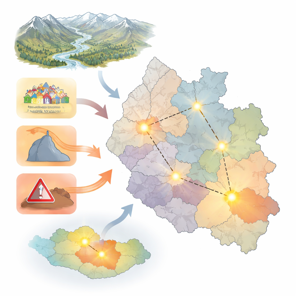
Mountainous areas face a perfect storm of vulnerabilities. Roads are often narrow, winding, or easily blocked by landslides and floods. Villages and towns are scattered across steep slopes and deep valleys. Heavy rains can trigger chains of events, from flash floods to mudslides, while earthquakes can cut off already fragile transport routes. Past disasters in Asia have shown that many deaths and economic losses were not caused by the hazard alone, but by slow or uneven delivery of relief supplies. For mountain cities, designing an emergency logistics network that works with, rather than against, the landscape is a crucial part of disaster preparedness.
Combining maps and decision tools to find better sites
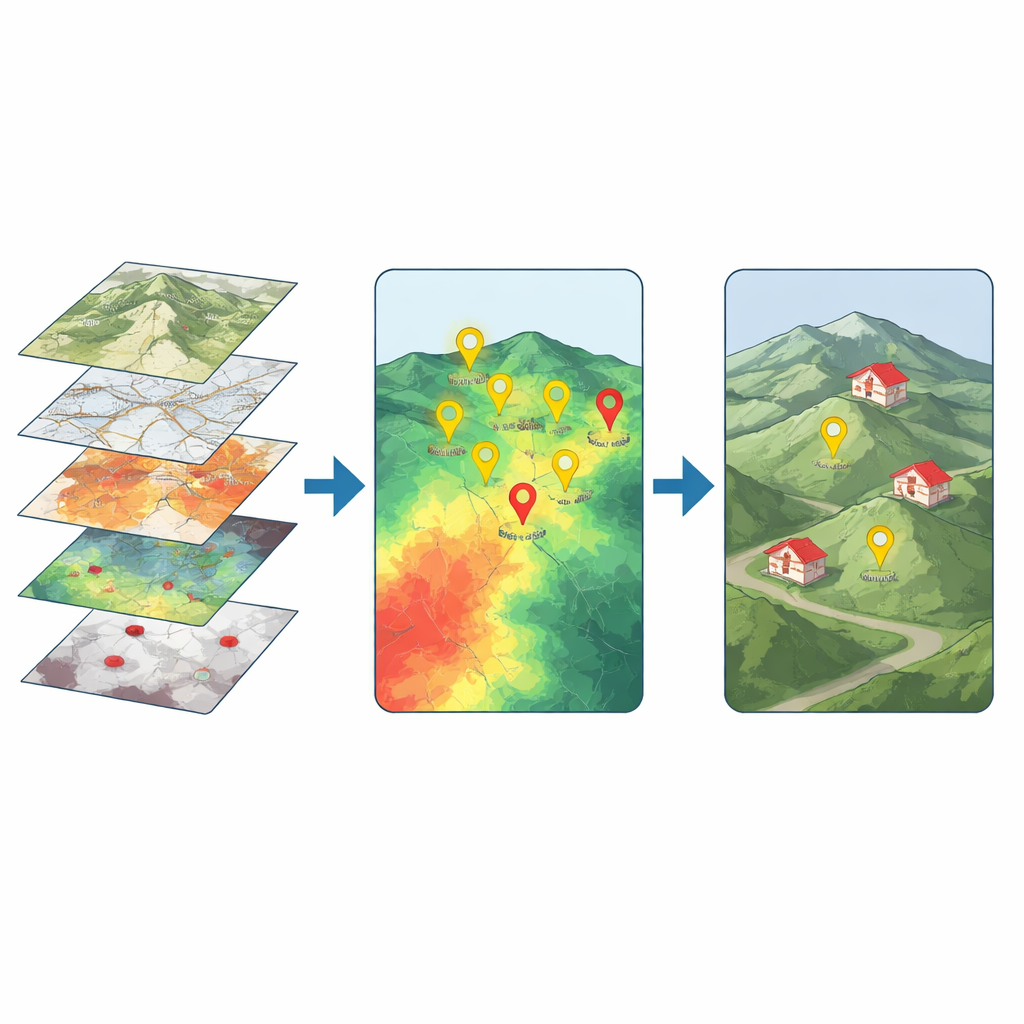
The researchers focused on Guizhou, a largely mountainous province in southwest China, as a real-world test bed. They gathered detailed spatial data on four main aspects: where people live, how transport systems are laid out, how steep and high the terrain is, and where major natural hazards have struck in recent years. Using geographic information system (GIS) software, they turned this information into layered digital maps showing population density, distances to roads, railways and airports, elevation, rivers, and clusters of floods, mudslides, and earthquakes. All these layers were converted to a common scale so they could be compared and combined across the entire province.
Balancing expert judgment with hard data
Choosing which factors matter most is a value judgment, but basing decisions on intuition alone is risky. To reduce this bias, the team blended expert opinion with an objective look at the data. A panel of nine specialists in disaster management and urban risk first used a structured comparison method to say which indicators they considered more important, such as population density versus earthquake risk. In parallel, a statistical “entropy” method examined how much each map layer varied across space, treating those with more variation as more informative. By averaging the two sets of weights, the researchers created a balanced score for each factor, giving slightly more emphasis to densely populated areas and easily accessed transport corridors while still accounting for terrain and hazard exposure.
Mapping where emergency hubs would work best
With these combined weights in hand, the study applied a ranking technique that scores every location by how close it is to an ideal emergency site and how far it is from a clearly poor one. The result is a province-wide suitability map divided into five levels, from very low to very high. The pattern that emerges is striking: eastern Guizhou, with its gentler landscapes, denser populations, and better road and rail links, shows many more highly suitable zones, while the steeper, less connected west lags behind. Specific districts and counties with both strong transport networks and moderate terrain stand out as prime candidates for future logistics facilities, offering good reach to at-risk communities while avoiding the worst flood and landslide zones.
Testing how fragile the choices really are
To see whether their recommendations were stable, the researchers ran sensitivity tests by nudging the importance of key indicators up and down and watching how the suitability map changed. They found that population density was the most influential factor: emphasizing it shrank the area rated highly suitable, while downplaying it expanded those zones into less populated regions. Yet some places, especially in the northwest, remained poor choices regardless of the tweaks because their terrain is harsh, roads are sparse, and hazards are frequent. This mix of sensitivity and stability suggests that the model is realistic: some planning choices are flexible, but severe geographic constraints cannot be wished away.
What this means for people on the ground
For non-specialists, the key takeaway is that where we place emergency warehouses, depots, and coordination centers in mountain regions is not just a matter of cheap land or existing buildings. By carefully layering information about people, roads, hills, rivers, and past disasters, planners can pinpoint locations that are both reachable and relatively safe when the next big storm or quake hits. In Guizhou, this approach reveals a clear east-strong, west-weak pattern shaped by terrain and access, and it highlights the dominant role of population and transport in saving lives. The framework is designed for pre-disaster planning, meaning it can guide long-term investments that quietly strengthen resilience years before the sirens ever sound.
Citation: Lin, Y., Xiang, Y., Yin, H. et al. Selection of emergency logistics facility locations considering major natural disasters in mountainous cities based on GIS-MCDM. Sci Rep 16, 11634 (2026). https://doi.org/10.1038/s41598-026-43065-y
Keywords: emergency logistics, mountain disasters, facility location, spatial risk mapping, disaster preparedness