Clear Sky Science · en
Scenario-based prediction and optimization of greenspace ecological network under land-use dynamics: a case study of Nanjing metropolitan area, China
Why City Green Spaces Matter
As cities grow outward and upward, they often eat away at fields, forests, and wetlands. Yet these green areas are not just pretty scenery: they cool neighborhoods, clean the air and water, support wildlife, and make cities more livable. This study looks at the fast-growing Nanjing metropolitan area in eastern China and asks a simple but powerful question: if we choose different paths for future development, how will that change the web of green spaces that keeps the region’s environment healthy—and what mix of policies best protects both nature and the economy?
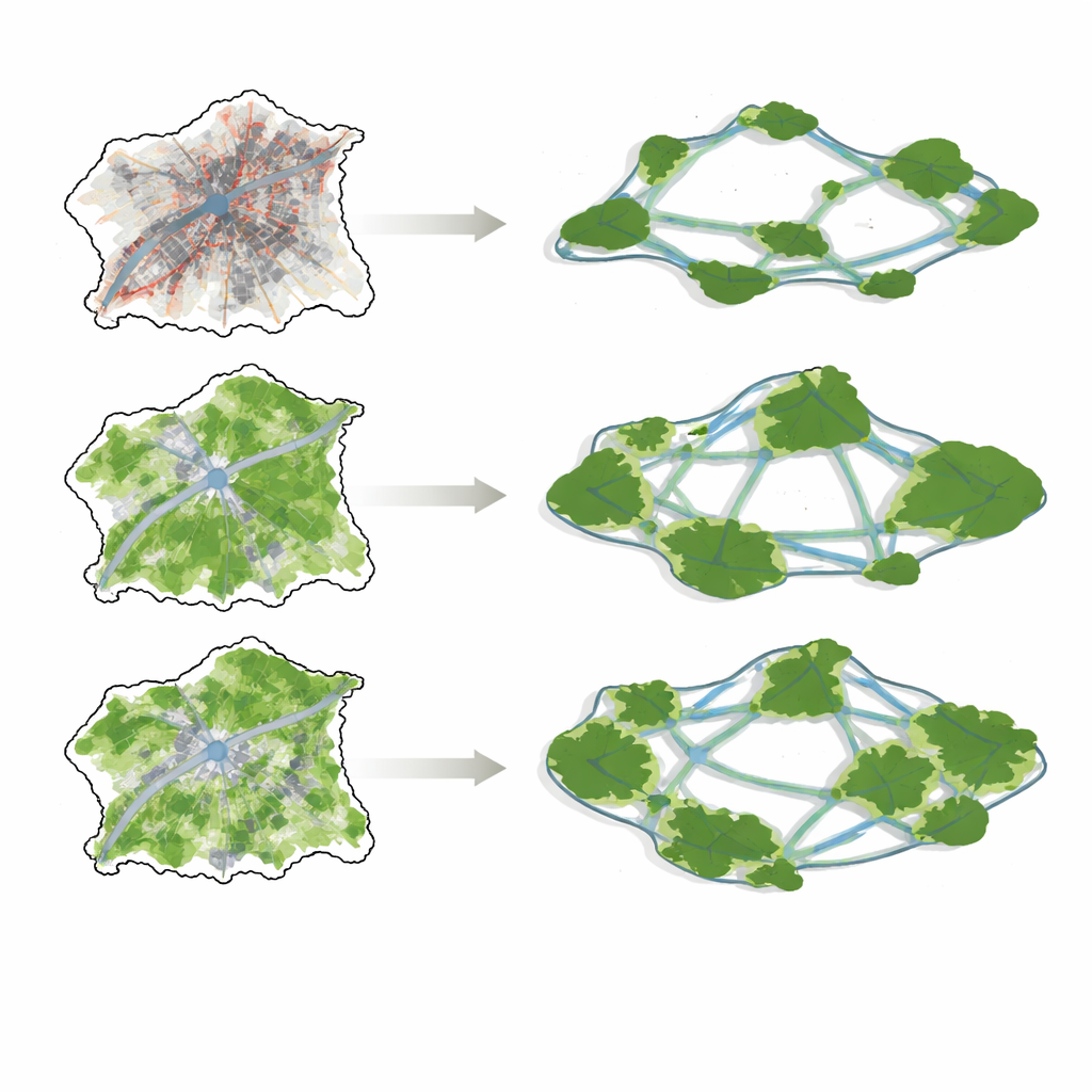
Four Possible Futures for a Growing Region
The researchers examined four storylines for how land might be used in 2035. One, called “business as usual,” simply continues past trends, with cities spreading outward over nearby farmland and scattered green spaces. A second, focused on rapid economic development, pushes even harder on construction and industry, maximizing the money earned from each square kilometer of land. A third storyline puts ecological protection first, expanding forests, wetlands, and water bodies while holding back building growth. The fourth aims for balance, trying to raise both economic returns and ecological benefits at the same time, rather than favoring one side.
How the Team Simulated Tomorrow’s Landscape
To explore these futures, the team linked several advanced mapping and modeling tools. One type of model estimated how much land each category—such as farmland, forest, or city—should occupy under different policy goals. Another then “grew” these categories across a grid map, simulating how city blocks, fields, and forests would expand or shrink in realistic patchy patterns. The authors checked their approach by seeing how well it could reproduce the region’s actual land-use map in 2020 from earlier data; the match was strong, giving confidence that the same methods could be used to peer ahead to 2035.
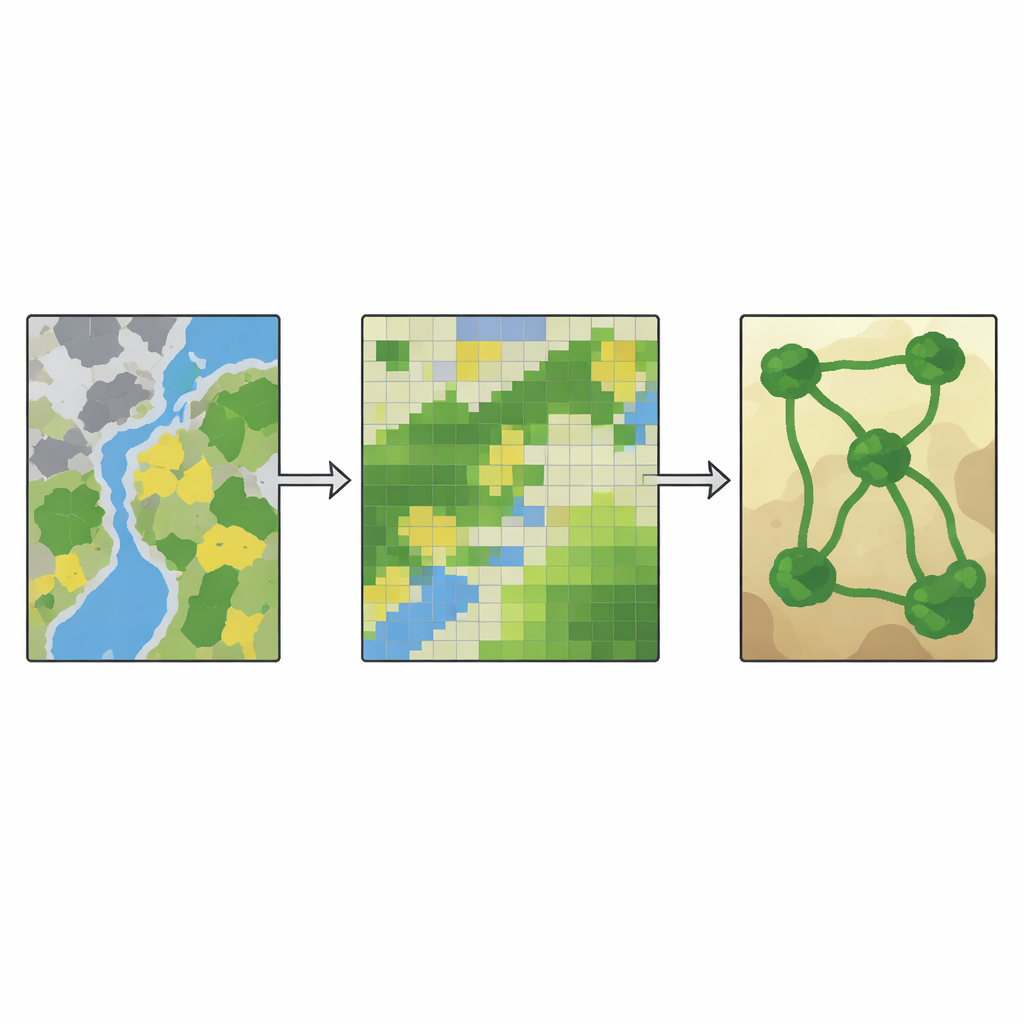
Tracing the Hidden Web of Green Connections
Once they had future land maps, the researchers turned those maps into a picture of the region’s green life-support system, known as a greenspace ecological network. First, they identified the main “source” areas: large blocks of forest, grassland, wetland, and urban parks big enough to support wildlife and ecological processes. Next, they calculated how hard it would be for animals and other organisms to move across each part of the landscape, taking into account steep slopes, busy urban areas, and different land types. Using this “resistance” surface, they traced the least-cost paths—like the easiest routes animals might take—to connect the green sources with corridors of vegetation and water.
What Happens Under Different Policy Choices
The four futures produced very different green networks. Under business as usual and rapid economic development, construction land expanded sharply, especially along the Yangtze River and around major cities. Some small green patches merged into larger blocks, but many links between them disappeared. The number and length of ecological corridors shrank, and the overall network became simpler, with fewer loops and backup routes for wildlife to move if one pathway was blocked. By contrast, in the ecological protection and balanced scenarios, forests, wetlands, and water bodies grew, especially in central hilly areas and water-rich plains. The number of green sources and corridors rose, the network became more intricate and better connected, and there were more alternative pathways, making the system more robust to disturbance.
Finding a Real-World Sweet Spot
A key result is that the purely growth-driven scenario led to the weakest and most fragile green network, even though it was the cheapest to build in terms of corridor length and resistance. The ecological protection scenario created the strongest, most complex web of green spaces, but at a noticeable cost to economic output. The balanced scenario, however, improved both ecological health and economic returns compared with today, preserving and restoring key wetlands and forests while still allowing cities to expand. To a lay observer, the takeaway is straightforward: the way we plan land use today locks in tomorrow’s green lifelines. Thoughtfully balancing development and conservation—rather than chasing either at all costs—offers metropolitan regions like Nanjing the best chance to stay both prosperous and ecologically resilient.
Citation: Liu, W., Zhao, Y., Bai, X. et al. Scenario-based prediction and optimization of greenspace ecological network under land-use dynamics: a case study of Nanjing metropolitan area, China. Sci Rep 16, 12761 (2026). https://doi.org/10.1038/s41598-026-40732-y
Keywords: urban greenspace, land-use planning, ecological corridors, metropolitan sustainability, China urbanization