Clear Sky Science · en
Police UAV path planning method based on improved PSO using AFS and HJS
Smarter Eyes in the Sky
Police forces are turning more and more to small unmanned aircraft—police drones—to watch over busy streets, search for missing people, and respond to emergencies. But for a drone, "where to fly next" is not a simple question: it must visit several locations quickly, dodge no‑fly zones, and conserve battery life, all in crowded city airspace. This study presents a new way to automatically plan those flight paths so that police drones can cover their tasks faster and more safely, even in complex urban environments.
The Challenge of Finding a Better Route
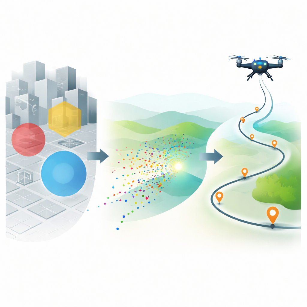
Imagine a patrol car that can jump over traffic jams and buildings—that is roughly what a police drone can do. Yet its route still has to be carefully chosen. Existing path‑planning methods from robotics and artificial intelligence can help, but each comes with trade‑offs. Some search well but take too long, while others are fast but get stuck in mediocre routes. Police work adds extra complications: the drone may have to visit many targets, weave around restricted airspace, and adapt to changing situations. The authors focus on this special version of the route‑planning problem and call it the police UAV path planning problem, or PU3P.
Borrowing Ideas from Flocks of Birds
To tackle PU3P, the researchers build on a popular optimization method called Particle Swarm Optimization. In that approach, many simple virtual "particles" roam through a search space the way birds in a flock might fan out over a field to find food. Each particle remembers its own best spot so far and pays attention to the best spot found by the group. Over many rounds, the swarm tends to drift toward promising regions, which correspond here to good flight paths. Classic versions of this method, however, were designed mainly for smooth, continuous problems, not for the discrete sequences of waypoints that define a drone’s route. They can also settle too early on a so‑so answer.
Two Tweaks for Sharper Searching
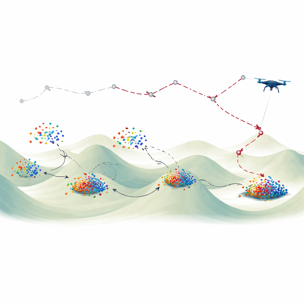
The paper introduces two key tweaks to sharpen this flock‑like search. The first, called an adaptive factor strategy, gradually changes how strongly particles carry their previous motion into the next step. Early on, this encourages broad exploration; later, it favors fine‑tuning around good candidates. The second tweak, dubbed a half jumping strategy, periodically nudges some particles partway toward the best positions seen so far, rather than letting them wander entirely on their own. Together, these strategies create an improved swarm, named AFS‑HJS‑PSO, that can both explore widely and home in quickly. The authors then adapt this improved swarm to handle the step‑by‑step sequences of target visits in PU3P, defining a fitness score that captures total travel distance for a police drone visiting all assigned locations.
Putting the New Method to the Test
To see whether their approach really pays off, the team pits AFS‑HJS‑PSO against several well‑known competitors: a standard swarm method, a genetic algorithm inspired by evolution, simulated annealing borrowed from metallurgy, and a classic nonlinear optimization solver. They first test all of them on 20 standard mathematical benchmark problems commonly used to judge search algorithms. Across most of these tests, the new swarm reaches better answers, reaches them faster, or does so more consistently. Then they turn to the actual police drone routing problem, running each method 30 times on the same set of target locations. The improved swarm again finds shorter average routes and shows competitive speed and reliability compared with the other techniques.
What This Means for Future Police Drones
In simple terms, the study shows that teaching a virtual flock to adjust its behavior on the fly and make smart half‑steps toward good ideas can produce better flight plans for police drones. The improved method is not perfect—it still has room to become more stable and less resource‑hungry—but under the tested conditions it outperforms several established tools. As drones become more common in public safety, such route‑planning advances could help them respond faster, spend less time in the air, and reduce risks in crowded skies.
Citation: Wang, D., Qian, X. Police UAV path planning method based on improved PSO using AFS and HJS. Sci Rep 16, 12417 (2026). https://doi.org/10.1038/s41598-026-40670-9
Keywords: police drone, UAV path planning, swarm optimization, route planning algorithms, urban surveillance