Clear Sky Science · en
Adaptive lateral constraint-driven POCS interpolation method
Sharper underground pictures from incomplete data
Oil and gas exploration, geothermal projects, and earthquake studies all rely on seismic surveys: controlled vibrations sent into the ground and recorded back at the surface. In the real world, however, these recordings are often full of gaps because of cost, terrain, or environmental limits. This paper presents a new way to “fill in the blanks” of such seismic records so that geoscientists can see deeper and more clearly into the Earth while keeping computation practical.
Why missing traces matter
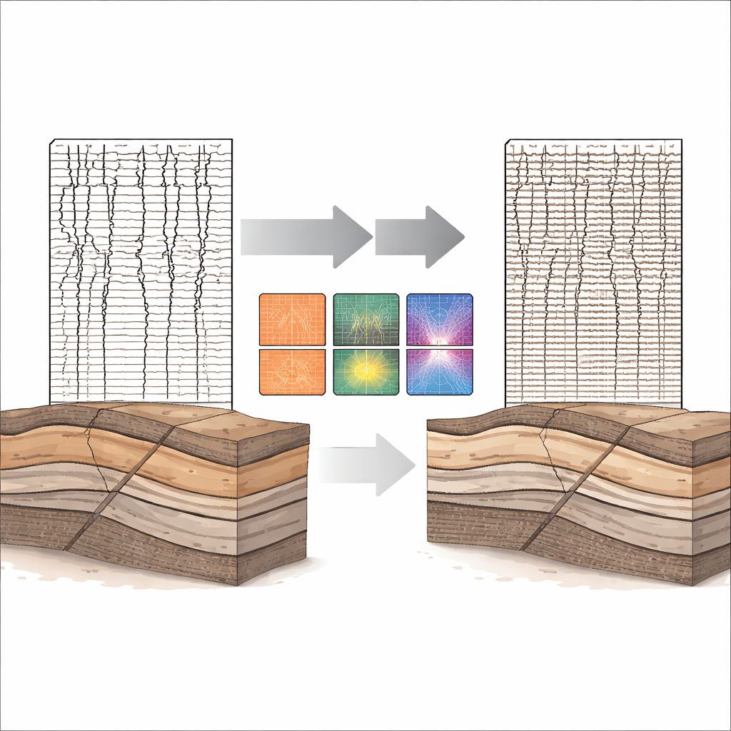
Seismic images are built from many closely spaced recordings, or traces, lined up side by side. When too many traces are missing, the picture of the subsurface becomes broken and noisy, making key steps such as imaging faults, mapping rock layers, or estimating reservoir properties much less reliable. Existing mathematical methods can guess the missing information using patterns in time and frequency, and newer machine learning approaches try to learn those patterns from large training sets. But machine learning is expensive and data-hungry, while traditional methods often ignore how strongly neighboring traces resemble each other laterally, leading to smeared structures and extra noise.
A smarter way to use neighboring information
The authors build on a well-known mathematical framework called projection onto convex sets, which repeatedly nudges the data toward different “allowed” conditions until they all agree. The classic version enforces two main conditions: that the known measurements remain unchanged, and that the data look compact and well behaved in a sparse transform such as a frequency–wavenumber domain. The new method adds a third ingredient: an explicit lateral constraint that encourages neighboring traces to vary smoothly where the geology is continuous, while still allowing sharp changes where the subsurface truly breaks, such as at faults or abrupt rock boundaries.
Adapting to complex geology
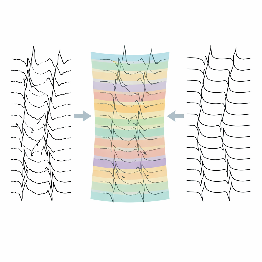
To avoid blindly smoothing everything, the method first divides each trace into short time windows and compares each window to its closest known neighbors. From these comparisons it builds a similarity map that highlights where traces look alike and where they differ. In windows with high similarity—typical of gently layered rocks—the algorithm lets nearby traces strongly guide the reconstruction, effectively suppressing random noise and filling missing traces in a way that respects lateral continuity. In windows with low similarity—typical of complex faults or abrupt changes—it relaxes the lateral pull, so that genuine geological breaks are not washed out by over-smoothing. This adaptive behavior is controlled by a tunable strength parameter whose practical range is established through systematic testing.
Balancing accuracy and efficiency
The researchers prove mathematically that, under standard assumptions, their triple-constraint procedure converges to a stable solution. They also analyze how much extra computation the new lateral step adds compared with a respected earlier version of the method. Both approaches are dominated by the same core frequency transform, so the added work only increases the linear part of the cost rather than changing the overall growth rate. In practice, this means the improved method runs somewhat slower but stays well within reasonable limits for large seismic data sets, making it suitable for real exploration projects.
Clearer tests on synthetic and real surveys
The team tests their approach on two kinds of data. First, they use synthetic seismic records generated from the complex Marmousi geological model, with randomly removed traces representing 30%, 50%, and even 70% data loss. In all cases, the new method reconstructs events that are more laterally continuous, with less visible noise and frequency content closer to the original full data than the older algorithm. Second, they apply the method to real post-stack data from an oil and gas basin in eastern China. Here, too, the new approach yields cleaner sections, better continuity in gently varying zones, and improved preservation of important geological details, as confirmed by quantitative measures of error, signal-to-noise ratio, and structural similarity.
What this means for seeing underground
For non-specialists, the key message is that this work offers a more reliable way to turn incomplete, noisy seismic recordings into coherent pictures of the subsurface without relying on heavy machine learning machinery. By carefully and adaptively using the similarity between neighboring traces, the method fills in missing information while keeping genuine geological features—like faults and abrupt rock changes—intact. The result is a higher-fidelity data foundation for later processing and interpretation, which can ultimately support better decisions in resource exploration and subsurface monitoring, even when field conditions prevent collecting perfectly dense data.
Citation: Qin, Z., Pan, S., Chen, J. et al. Adaptive lateral constraint-driven POCS interpolation method. Sci Rep 16, 11518 (2026). https://doi.org/10.1038/s41598-026-39281-1
Keywords: seismic interpolation, subsurface imaging, geophysical data processing, noise suppression, fault and layer continuity