Clear Sky Science · en
ARETA (Alpine caRbon cyclE daTAset): a dataset on physical, chemical and isotopic data of Alpine groundwaters
Why mountain springs matter to us
Across Europe, much of the water that flows from our taps or irrigates our crops began its journey hidden beneath the Alps. The same underground waters also feed famous thermal baths and mineral springs that people have visited for centuries. Yet, despite their importance for drinking water, farming, energy, and tourism, the deep waters of the Alpine region have remained surprisingly poorly mapped and measured. This article presents a new large dataset that helps scientists and decision makers see, for the first time, a clearer picture of how Alpine groundwaters are stored, move, and interact with the rocks they cross.
A hidden water tower inside the Alps
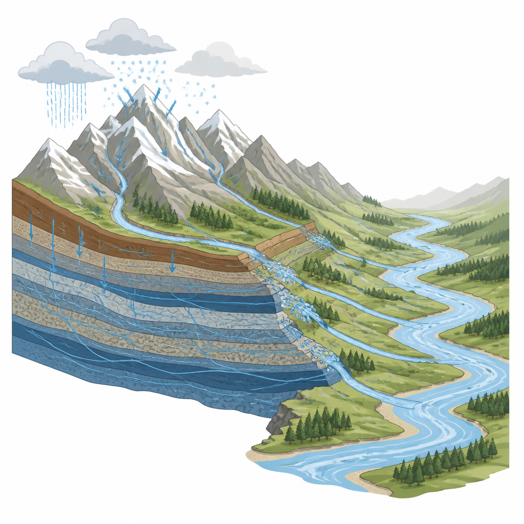
The Alps do not only host glaciers, lakes, and rivers; they also act as a vast underground water tower. Snow and rain soak into fractured rocks and buried layers, where water can be stored for years before re-emerging as springs that feed major rivers such as the Rhine, Danube, Po, and Rhone. For a long time, many experts believed that most Alpine water simply ran off the surface rather than soaking deep underground. New studies have overturned this view, showing that aquifers are widespread beneath the mountains. This makes Alpine groundwater both vital and vulnerable in a warming climate, because changes in snow, ice, and rainfall can disturb not only rivers but the deep reserves that supply millions of people.
Building a shared picture of Alpine springs
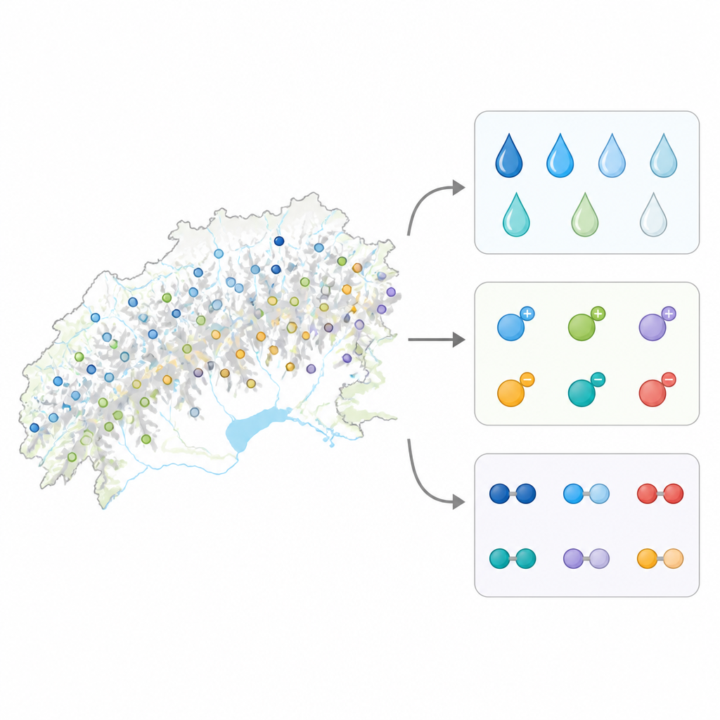
To better understand this hidden system, the authors created ARETA, the Alpine carbon cycle dataset for spring waters. They brought together more than 3,000 chemical analyses of springs from six countries, combining scattered technical reports, scientific papers, books, public databases, and new fieldwork carried out between 2011 and 2022. Each spring is precisely located on a digital map and linked to the local landscape, administrative region, and type of rocks in which the water flows. The dataset covers ordinary freshwater springs as well as mineral and thermal waters that can be warm, salty, or rich in dissolved gases, including those that are of growing interest for resources such as lithium.
What is measured in each drop
For most springs, ARETA records basic physical traits such as temperature, how fast water flows from the ground, acidity, and how well it conducts electricity, a sign of dissolved salts. Nearly all sites include the main dissolved ingredients, such as calcium, magnesium, sodium, chloride, and bicarbonate, which reveal how water has interacted with surrounding rocks and soils. For a smaller but important subset, the dataset also documents the natural "fingerprints" carried by different forms of hydrogen, oxygen, and carbon. These isotopic fingerprints help trace where the water came from, how long it has circulated underground, and how it participates in the broader carbon cycle linking rocks, water, and the atmosphere.
Testing data quality and filling the gaps
Because ARETA draws on many independent sources, the authors carefully checked for repeated locations and for chemical results that did not add up. They used a standard balance test that compares the total positive and negative electrical charges of dissolved substances, keeping track of analyses that passed with high, medium, or low confidence. About nine out of ten samples showed high quality, while a small fraction with larger mismatches were kept as potential pointers to areas that deserve fresh measurements. For the new field samples, the team also quantified how precise their isotope readings were and grouped them into quality classes. Finally, they compared the reach of ARETA with other international datasets focused on thermal or karst springs, showing that the different collections complement one another but still leave gaps in some parts of the Alps.
Why this dataset is useful for the future
The ARETA dataset does not offer a time series for each spring, but it does provide a well checked snapshot of conditions across the entire Alpine chain. For planners and researchers, this means they can now estimate how much water is stored underground, how quickly it moves, how it affects river flow, and how much carbon it carries and removes from the atmosphere through rock weathering. By making the data freely available in standard geographic formats, the authors invite others to combine ARETA with climate, land use, and ecological information. In plain terms, this work turns a patchwork of local studies into a shared map of the Alps’ underground lifeblood, offering a stronger base for managing water resources and understanding how mountain regions will respond to a changing climate.
Citation: Donnini, M., Melelli, L., Vetuschi Zuccolini, M. et al. ARETA (Alpine caRbon cyclE daTAset): a dataset on physical, chemical and isotopic data of Alpine groundwaters. Sci Data 13, 734 (2026). https://doi.org/10.1038/s41597-025-06541-0
Keywords: Alpine groundwater, spring water data, hydrogeochemistry, carbon cycle, climate change impacts