Clear Sky Science · en
Stratospheric precursor induces wintertime phase reversal of the “warm Arctic-cold Eurasia” pattern
Why swings between Arctic warmth and Eurasian cold matter
People across Europe and Asia have noticed increasingly dramatic winter mood swings: one month the Arctic is strangely mild while Siberia shivers, and later in the same winter the pattern flips. These shifts are not just a curiosity for weather watchers; they shape heating demand, energy security, agriculture, and the risk of extreme cold snaps and dust storms. This study asks a deceptively simple question with big practical consequences: can we see signs high in the atmosphere that warn us weeks ahead of these sudden winter turnarounds?
A see-saw between north and south
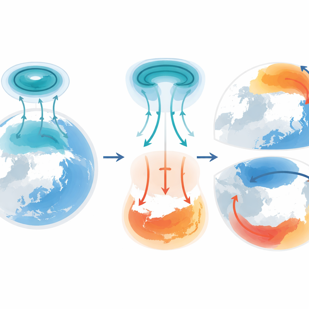
Scientists describe a recurring pattern called “warm Arctic–cold Eurasia,” where winter air over the Arctic is unusually mild while large parts of Eurasia are colder than normal. The opposite configuration, “cold Arctic–warm Eurasia,” also appears. In recent decades, winters have increasingly shown a sharp switch between these two states: early winter may be dominated by one pattern, only for late winter to flip strongly to the other. Because the early and late phases cancel each other out in seasonal averages, the full drama of these swings is hidden in traditional statistics, yet on the ground they translate into abrupt cold–warm transitions and heightened risk of severe cold in East Asia and even major spring sandstorms over northern China.
A hidden driver high above the clouds
Above the weather systems we experience day to day lies the stratospheric polar vortex, a fast-moving ring of winds encircling the Arctic at heights of tens of kilometers. This vortex can change shape: sometimes it contracts and pulls away from the North America–North Atlantic sector, and at other times it stretches toward that region. The authors show that a systematic change in this shape over North America–North Atlantic tends to precede the surface pattern flip between warm-Arctic–cold-Eurasia and its opposite by about 25 days. When the vortex is contracted there in early winter, the surface pattern more often favors a cold Arctic and warm Eurasia; when it later stretches toward that sector and strengthens, the surface pattern tends to reverse, giving a warm Arctic and cold Eurasia. This timing relationship holds not only in recent decades but also when the record is extended back to the early 1950s.
How waves carry the message downward
The authors trace how this high-altitude shift reaches the ground. When the vortex over North America–North Atlantic is in its contracted state, the stratosphere develops a pair of contrasting pressure anomalies: higher over North America–North Atlantic and lower over western Eurasia. Wave-like disturbances in the atmosphere preferentially move upward over North America and then downward toward western Europe, guiding these anomalies down from stratospheric heights to the level of everyday weather. Near the surface, this weakens a normally important zone of high pressure over the Ural Mountains. With that “Ural high” suppressed, cold Arctic air is less able to surge south into Eurasia, helping produce a pattern with relatively warmer Eurasia and colder Arctic early in the winter.
From remote vortex shift to Eurasian cold outbreaks
Later in the season, as the vortex stretches toward North America–North Atlantic and becomes stronger and more asymmetric, the wave pattern changes. Now, the disturbances preferentially propagate downward over the North Atlantic, strengthening westerly winds aloft and favoring a pressure pattern over the ocean known as the positive North Atlantic Oscillation. From there, wave energy spreads eastward into Eurasia and builds up a stronger Ural high. This revived high-pressure system helps channel cold Arctic air southward into Eurasia, while the Arctic itself becomes relatively milder—an imprint of the classic warm-Arctic–cold-Eurasia phase. The study confirms these mechanisms not only through statistical analysis but also by examining individual winters, such as 1983–84, when a strong shift in the vortex shape preceded a well-documented cold wave in East Asia by several weeks.
Testing climate models on their upper limits
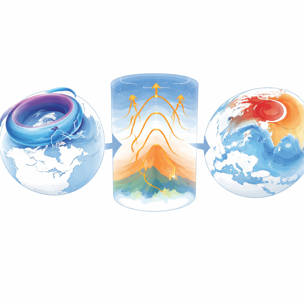
To see whether current climate models can capture this chain of events, the authors analyze large sets of simulations from the latest generation of global models. They identify years in the simulations when the vortex over North America–North Atlantic switches between contracted and stretched states and then examine how surface temperatures respond. Overall, the models reproduce the tendency for such vortex transitions to favor a flip in the Arctic–Eurasian temperature pattern, but the response is weaker than in observations and varies widely between models. A key difference is how high the models extend into the atmosphere: “high-top” models that include more of the stratosphere simulate a stronger downward link from vortex changes to Eurasian surface temperatures than “low-top” models, which stop lower and miss much of the stratospheric dynamics.
What this means for future winter forecasts
For non-specialists, the take-home message is that the shape of a wind belt tens of kilometers over the Arctic can foreshadow, nearly a month in advance, whether late winter across Eurasia is more likely to flip from mild to bitter or vice versa. This stratospheric signal explains a larger share of the intensity of these pattern reversals than previously recognized tropical ocean influences and offers a valuable new handle for subseasonal-to-seasonal prediction. The findings also underscore that to improve forecasts of extreme winter events—and their knock-on effects such as energy crises or dust storms—climate and weather models must faithfully represent the higher reaches of the atmosphere where these vortex shifts occur.
Citation: Zhang, Y., Yin, Z., Tian, W. et al. Stratospheric precursor induces wintertime phase reversal of the “warm Arctic-cold Eurasia” pattern. Nat Commun 17, 3284 (2026). https://doi.org/10.1038/s41467-026-70100-3
Keywords: Arctic warming, Eurasian winter cold, stratospheric polar vortex, subseasonal prediction, Rossby waves