Clear Sky Science · en
Decreases in South Pacific and South Atlantic sea-air CO2 fluxes caused by extreme precipitation
Why powerful rainstorms matter for the climate
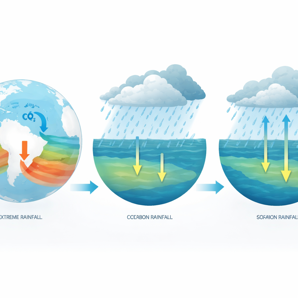
As the planet warms, intense downpours are becoming more common. These dramatic rainstorms do more than flood streets and swell rivers: they also interact with the ocean, which quietly soaks up about a quarter of the carbon dioxide that humans emit each year. This study asks a deceptively simple question with big implications for climate forecasts: when an extreme burst of rain falls over the open sea, does it change how much carbon dioxide the ocean releases to, or absorbs from, the atmosphere?
Hidden traffic of carbon between sea and sky
The exchange of carbon dioxide between ocean and air is often described in terms of a “flux.” When the ocean takes up more carbon dioxide than it releases, it acts as a carbon sink; when it releases more, it becomes a carbon source. That balance depends on many factors, including water temperature, wind, waves, dissolved salts, plant life, and even floating microplastics. Previous work has mostly focused on gradual changes in these conditions. Short, violent bursts of rain were usually treated as a side detail, folded into general freshwater inputs without examining their unique role. Yet more than three quarters of global rainfall falls over the ocean, and climate models predict that the strongest storms will intensify. The authors set out to pinpoint whether extreme one‑day rain events measurably shift the ocean’s carbon behavior.
Pinpointing storm hotspots in southern oceans
Using three decades of monthly data from 1990 to 2023, the researchers combined satellite observations, climate-model output, and advanced machine‑learning tools to tease apart the relative importance of many overlapping influences on sea‑air carbon dioxide flux. They examined global patterns first, then zoomed in where extreme rain appeared most influential. Two vast regions emerged as hotspots: the South Pacific and South Atlantic Ocean, especially bands between about 45 and 60 degrees south. In these storm‑lashed waters, a standard index of the heaviest one‑day rainfall in a month, known as maximum one‑day precipitation, consistently ranked among the top factors shaping how much carbon dioxide moved across the sea surface.
How intense rain can flip the ocean’s role
In the South Pacific and South Atlantic, the team found a strong tendency for heavier one‑day rain events to be linked with lower sea‑air carbon dioxide flux. In other words, when the rare but powerful downpours struck, the ocean shifted toward absorbing more carbon or releasing less. As the maximum one‑day rainfall rose from almost nothing up to about 30 millimeters, both regions switched from being net sources of carbon dioxide to net sinks. In the South Pacific, typical flux values fell from strongly positive to clearly negative, and in the South Atlantic the swing from source to sink was even larger. During seasons and episodes dominated by persistent extreme rain, the statistical relationship strengthened further, suggesting that sequences of storms can leave a lasting imprint on the carbon balance.
Freshwater lids and delayed shock waves
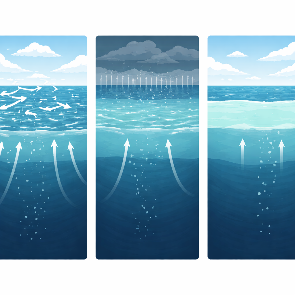
Why would a single day of heavy rain have such a pronounced effect? The key lies in how fresh rainwater dilutes and stratifies the salty ocean surface. Intense rainfall forms a light, low‑salt “lens” on top of denser, saltier water below. This lens acts like a physical lid, making it harder for deeper, carbon‑rich water to reach the surface and vent its gas to the air. The study used causal analysis and “shock transmission” techniques, borrowed from economics, to follow how a sudden jolt in rainfall ripples through the system. They showed that extreme rain first pushes down surface salinity and alkalinity—chemical properties tied to the water’s capacity to hold dissolved carbon—and that these changes, after a delay of a couple of months, lead to a marked drop in carbon dioxide leaving the ocean.
Looking ahead to a stormier future
Climate projections indicate that the rarest and strongest rainfall events over the South Pacific and South Atlantic will likely intensify by 10–20 percent or more later this century. Plugging these shifts into their models, the authors estimate that extreme rain could boost the carbon‑absorbing strength of these oceans by up to roughly a quarter in some areas, compared with conditions in 2023. They also show that many current ocean carbon models, which largely ignore explicit effects of precipitation extremes, may be overestimating sea‑air carbon dioxide flux by around 20 percent in these regions.
What this means for our understanding of the climate
For non‑specialists, the takeaway is straightforward: exceptional ocean rainstorms are not just dramatic weather; they subtly, but significantly, help the ocean draw more carbon dioxide out of the atmosphere, at least in parts of the southern oceans. By freshening and stabilizing the surface, extreme downpours can flip these seas from carbon sources to carbon sinks. That does not solve global warming—human emissions still far exceed what storms can offset—but it does mean that to predict future climate accurately, scientists must include these powerful bursts of rain when tallying the ocean’s carbon budget.
Citation: Li, Z., Liu, H., Dong, X. et al. Decreases in South Pacific and South Atlantic sea-air CO2 fluxes caused by extreme precipitation. Nat Commun 17, 3011 (2026). https://doi.org/10.1038/s41467-026-69847-6
Keywords: extreme precipitation, ocean carbon sink, South Pacific, South Atlantic, sea-air CO2 flux