Clear Sky Science · en
Multi-scale spatial patterns and driving mechanisms of historical and cultural resources in the Beijing-Tianjin-Hebei region
Why Places of the Past Still Matter Today
The Beijing–Tianjin–Hebei region in northern China is packed with historic cities, old market towns, traditional villages, and landmark heritage sites. As this area rapidly urbanizes and its cities grow together, the risk is that valuable traces of the past are lost or overwhelmed. This study asks a simple but urgent question: where exactly are these historical and cultural resources, why did they appear in those places, and how can that knowledge guide smarter protection and development? 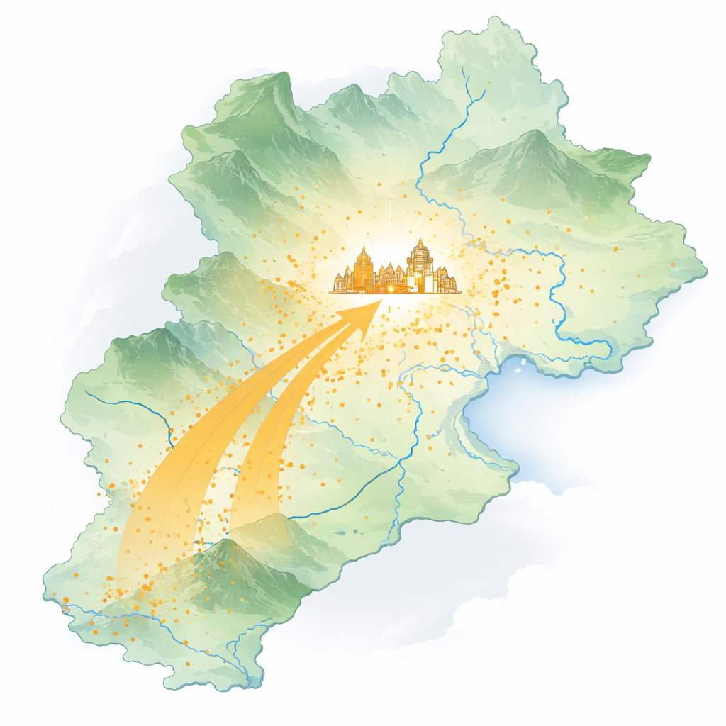
Where History Gathers on the Map
The researchers mapped more than 500 nationally recognized heritage points, from ancient city centers to individual monuments, across the region. Instead of being spread evenly, these sites form a striking pattern the authors describe as a “core–secondary–belt” structure. The densest cluster lies in and around Beijing, with additional clusters near Tianjin and in parts of Hebei Province, plus a southwest‑trending belt following the foothills of the Taihang Mountains. Vast areas of plains and remote mountains, by contrast, contain relatively few major sites. In other words, history has clearly favored certain corridors and hubs over others.
How the Center of Gravity Shifted Over Time
To see how this pattern emerged, the team grouped sites by their original construction periods, from early states before the Qin dynasty up to modern times. Early sites were concentrated further south, near Handan and along the mountain front, where safe terrain, arable land, and water supported early settlements. Later, as imperial capitals and transport systems changed, the center of heritage activity migrated northward. By the era of the Yuan, Ming, and Qing dynasties, the weight of historic sites had shifted decisively toward Beijing, which accumulated palaces, temples, defenses, gardens, and official quarters. In the 20th century and beyond, Tianjin emerged as a secondary center, thanks to its role as a treaty port and industrial hub, but Beijing remained the dominant cultural magnet.
Different Kinds of Heritage, Different Roles
The study also distinguishes four main types of resources: historic cities, historic towns, historic villages, and nationally protected heritage sites such as temples, palaces, and industrial relics. These types do not simply pile up in the same way. Historic cities cluster in major political and administrative centers; historic towns follow old trade and transport routes along the mountain front; historic villages tend to appear in sheltered transition zones between mountains and plains; and nationally protected sites are especially concentrated in the political capital, reflecting government recognition and investment. Together, these overlapping patterns reveal a layered cultural landscape in which capital cities, trade nodes, rural communities, and landmark monuments all play complementary roles.
From Nature to Roads to Modern City Lights
To move beyond description, the authors probe why the clusters look the way they do. They assemble data on elevation, slopes, rivers, roads, population, economic activity, and tourism, then use a spatial statistics tool called GeoDetector to see which factors best match the observed patterns. They find that natural features form the “substrate”: gentle foothills near rivers made good places to live and farm, while rugged highlands remained sparsely settled. Transport routes act as “pathways,” funneling people, goods, and ideas along certain corridors where heritage sites then accumulate. In the current era, however, the single strongest influence is proximity to city centers and other signs of modern activity—dense populations, strong economies, bright night‑time lights, and tourist attractions—an “activation” effect that concentrates heritage recognition and investment in a few powerful urban hubs. 
Using Patterns of the Past to Plan the Future
For non‑specialists, the main takeaway is that the location of heritage is not random—nor is it frozen in time. The region’s cultural treasures emerged where natural terrain allowed settlement, grew along roads and river corridors, and were amplified by political power and modern city life. Recognizing this multi‑layered process, the authors propose a “substrate–pathway–activation” framework to guide conservation. They argue for stronger, joined‑up protection in the dense cores around Beijing and Tianjin and along key cultural corridors, paired with tailored strategies for rural and coastal areas that risk being overlooked. By seeing how nature, history, and today’s cities interact to shape where heritage survives, planners can better balance growth with memory—ensuring that the Beijing–Tianjin–Hebei mega‑region keeps its deep cultural roots even as it races toward the future.
Citation: Xiao, M., Zhang, R. Multi-scale spatial patterns and driving mechanisms of historical and cultural resources in the Beijing-Tianjin-Hebei region. npj Herit. Sci. 14, 204 (2026). https://doi.org/10.1038/s40494-026-02465-z
Keywords: cultural heritage, Beijing–Tianjin–Hebei, spatial patterns, urbanization, heritage conservation