Clear Sky Science · en
Beyond 5G non terrestrial networks for direct-to-device joint communication and positioning services provision: Part I—system scenarios and architectures
Why your phone’s location may not always be trustworthy
Most of us take it for granted that our phones can find us on a map in seconds. But the satellite systems that make this possible, like GPS and Galileo, can be jammed, spoofed, or simply blocked by buildings and terrain. This paper explores how a new generation of satellites in low Earth orbit could team up with 5G-style wireless signals to give our phones both reliable connectivity and a backup way to locate us, even when traditional navigation satellites or ground networks fail.
New satellites closer to Earth
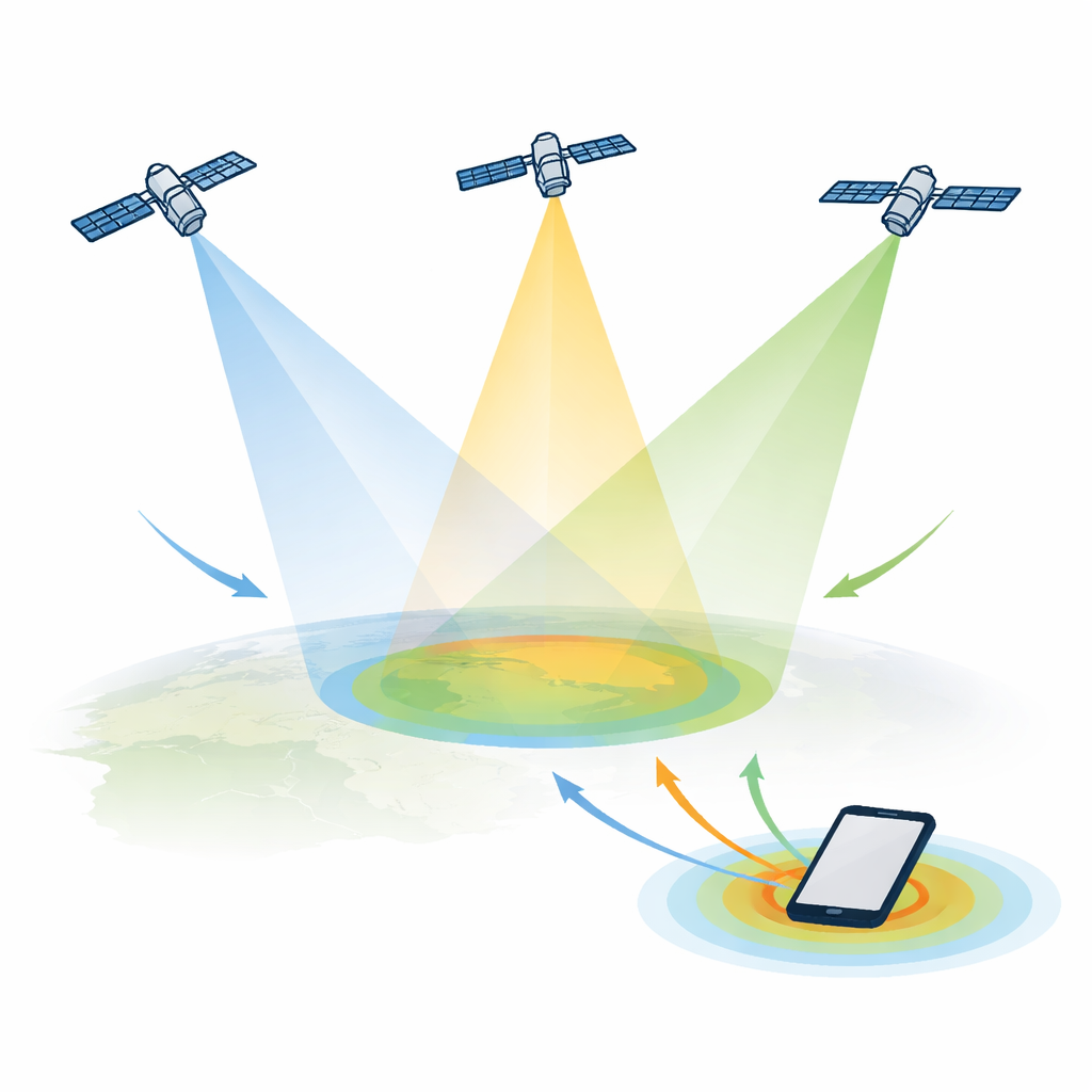
Today’s navigation satellites circle high above Earth, which makes their signals weak and vulnerable to interference by the time they reach the ground. The authors describe an emerging alternative: swarms of satellites flying much closer in low Earth orbit. Because they are nearer and move quickly across the sky, these satellites can provide stronger signals, more varied viewing angles, and better coverage in places where traditional systems struggle, such as city streets with tall buildings or high-latitude regions. The trade-off is that these low-orbit satellites race overhead, causing fast-changing delays and frequency shifts that complicate precise timing and positioning.

Why backup location and messaging matter
The paper first looks at real-world situations where a more resilient location service is crucial. Public safety is at the top of the list: rescuers need accurate caller locations in mountains, oceans, or disaster zones where cell towers are down and navigation satellites may be jammed. Standards bodies already define targets like knowing a caller’s position within tens of meters for most emergencies. The authors show how a low-orbit satellite layer using existing mobile-satellite frequencies could deliver simple but vital services such as two-way emergency messaging plus backup positioning, reaching people far beyond the edges of today’s cellular networks.
Beyond emergencies: smarter, connected worlds
Next, the paper examines commercial uses tied to the evolution toward 6G. Many future devices—from farm sensors and shipping containers to drones and aircraft—will need constant connectivity and location, even far from cities. Some low-cost gadgets lack built-in navigation receivers or must save battery by limiting their use. The authors highlight that non-terrestrial 5G-style networks, where satellites talk directly to normal phones or Internet-of-Things devices, could fill this gap. However, creating a system that simultaneously offers high data rates and accurate positioning is not straightforward: communication favors tightly focused beams and heavy frequency reuse, while positioning benefits from wide coverage and signals from multiple satellites at once.
Engineering around space’s quirks
The heart of the paper is a set of design principles for sharing satellite resources between communication and positioning. Low-orbit satellites cause large and rapidly changing Doppler shifts, which break the careful timing patterns used by today’s ground-based 5G positioning signals. The authors propose adapting these signals so that they can be transmitted more like continuous, low-power beacons spread across the full radio grid, allowing receivers to pick out each satellite’s unique code even in the presence of interference. They also discuss clever ways to have several satellites illuminate the same area for positioning, while still preserving enough narrow beams and radio power for data traffic. This includes sharing spectrum in frequency, reducing power of special ranging signals, and reusing the same satellite antennas and electronics for both roles.
Three candidate blueprints in space
Building on these ideas, the authors propose three concrete satellite system architectures. The first focuses on narrowband Internet-of-Things services: a single wide coverage beam provides both messaging and coarse positioning using updated ranging signals, with different ways to juggle time, frequency, and power. The second blends this with a separate, higher-capacity 5G satellite constellation, where a thin layer of positioning signals rides on top of the broader communication service to deliver navigation accuracy comparable to today’s global systems. The third architecture integrates everything into one powerful 5G satellite network that uses many small beams for data plus a separate wide beam for precise timing signals, all driven by a highly stable onboard clock referenced to existing navigation satellites.
What this means for everyday users
In plain terms, the paper shows that satellite networks designed for connecting phones and sensors can also be tuned to tell those devices where they are, without relying solely on today’s navigation constellations or ground towers. By carefully shaping beams, sharing frequencies, and adjusting how special timing signals are broadcast, low-orbit satellites could become a robust backup layer for both communication and positioning. If these architectures are adopted and refined, future smartphones and connected devices could keep sending messages and sharing their locations with rescuers, pilots, or logistics operators—even when conventional systems are degraded or unavailable.
Citation: De Gaudenzi, R., Grec, FC., Giordano, P. et al. Beyond 5G non terrestrial networks for direct-to-device joint communication and positioning services provision: Part I—system scenarios and architectures. npj Wirel. Technol. 2, 16 (2026). https://doi.org/10.1038/s44459-026-00047-w
Keywords: low Earth orbit satellites, 5G non-terrestrial networks, satellite positioning, public safety communications, direct-to-device