Clear Sky Science · en
Beyond 5G non terrestrial networks for direct-to-device joint communication and positioning services provision: Part 2 - system performance analysis
Why your phone needs more than GPS
Modern life leans heavily on satellites, from mapping apps to emergency services. But today’s main navigation workhorses—the familiar GPS-like Global Navigation Satellite Systems (GNSS)—are increasingly vulnerable to jamming, spoofing, and service disruptions. This paper explores how a new generation of fast‑moving Low Earth Orbit (LEO) satellites could simultaneously deliver mobile connectivity and precise location directly to ordinary phones and small devices, creating a robust backup when traditional navigation or ground networks fail.

New satellites that talk and locate
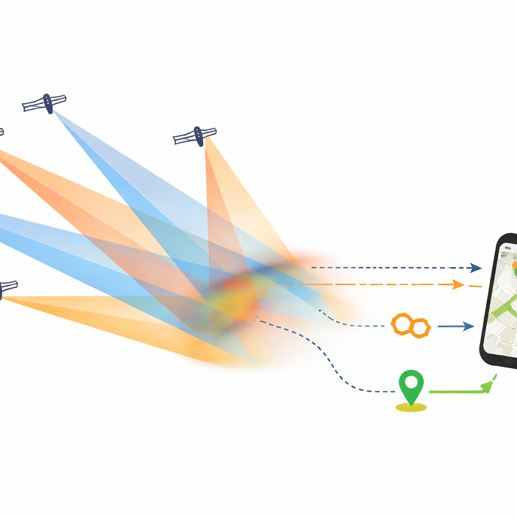
The study builds on earlier work that proposed several ways to use LEO “non‑terrestrial networks” to provide both communication and positioning to handheld and Internet‑of‑Things (IoT) devices. Unlike today’s GNSS, these satellites are designed to work hand‑in‑hand with mobile standards such as 5G and its successors. The same space platform would send two kinds of signals: high‑throughput data for messaging and internet access, and specially crafted reference signals that allow the user’s device to measure timing and distance with high accuracy. The central challenge is that what makes a satellite network great for data—tight, powerful beams aimed at specific areas—tends to work against the wide, overlapping coverage needed for accurate positioning.
Balancing speed, coverage, and accuracy
To understand whether this balance is achievable in practice, the authors perform detailed performance analyses rather than relying on high‑level concepts. They first model how reference signals for positioning behave when sent from many fast‑moving LEO satellites at once, and how these signals interfere with the regular data channel. By simulating the flow of bits through the radio system and comparing it to a well‑known “Gaussian noise” model, they confirm that the messy mix of signals from multiple satellites can be treated like ordinary background noise in system design. This allows them to build realistic link budgets—accounting for satellite power, antennas, radio losses, and interference—and to predict both data rates and distance‑measurement errors for typical user devices.
Three ways to share the satellites
The paper evaluates three representative architectures. In the first, narrowband IoT signals and simple ranging signals share a single payload, offering modest data rates but still locating users within a few tens of meters—good enough for emergency call requirements in Europe even under difficult reception conditions. The second architecture layers an additional, more advanced signal—akin to 5G New Radio—on top of the IoT service. Here, the LEO satellites provide both basic IoT connectivity and a broader‑band positioning signal that can also assist a separate commercial 5G‑from‑space network. With careful power sharing, the added positioning function barely dents communication performance, yet horizontal errors shrink to around three meters. The third architecture goes further, using a full 5G‑style constellation that carries wideband communication and high‑precision ranging together; this delivers meter‑level accuracy with only a small fraction of satellite power dedicated to positioning.
From simulations to real‑world coverage
Beyond individual links, the authors simulate entire constellations—hundreds of LEO satellites circling Earth—to see how well Europe could be covered over time. For each of thousands of virtual users and many points in the day, they compute which satellites are visible, how strong the signals would be, and how geometry affects error. The results show that even with realistic fading, shadowing by buildings or terrain, and ionospheric effects, the proposed systems can keep horizontal position errors well inside regulatory limits for emergency calls and public‑safety operations. In the most capable designs, users receive data and positioning robustly from multiple satellites at once, making the combined service resilient to both individual satellite outages and local interference.
What this means for everyday users
For non‑experts, the key takeaway is that future LEO satellite constellations could act as far more than space‑based cell towers. With carefully engineered sharing of power and radio resources, the same network that gives you coverage in remote areas could also tell you where you are with meter‑level precision, even if GNSS is jammed or ground networks are damaged. The study’s link budgets and large‑scale simulations suggest that such integrated communication‑and‑positioning systems are technically feasible using evolutions of existing 5G standards. Upcoming European demonstration missions aim to confirm these findings in orbit, moving us closer to a world where your phone can stay connected and accurately located almost anywhere on the planet.
Citation: De Gaudenzi, R., Grec, FC., Giordano, P. et al. Beyond 5G non terrestrial networks for direct-to-device joint communication and positioning services provision: Part 2 - system performance analysis. npj Wirel. Technol. 2, 17 (2026). https://doi.org/10.1038/s44459-026-00038-x
Keywords: LEO satellite positioning, non-terrestrial networks, direct-to-device, 5G NTN, GNSS resilience