Clear Sky Science · en
A skillful hybrid framework for seamless subseasonal PM2.5 prediction over North China
Why tomorrow’s smog can be seen weeks ahead
People living in North China know too well how quickly the sky can shift from bright blue to thick, choking haze. Even as factories clean up and traffic rules tighten, dangerous spikes in fine particulate pollution (PM2.5) still appear. This study explains why the atmosphere itself holds the key to these swings—and introduces a new way to predict North China’s winter haze up to three weeks in advance, giving cities more time to act.
A stubborn problem in the winter air
Fine particles smaller than a human hair’s width, known as PM2.5, threaten health, slow the economy, and even affect climate. China’s strict clean-air policies have greatly reduced emissions, yet heavy pollution episodes in North China remain common, including during COVID-19 lockdowns when human activity plunged. The authors show that on the 10–30-day “subseasonal” timescale, changes in PM2.5 are driven far more by swings in weather patterns than by shifts in emissions. Calm winds, shallow mixing layers near the ground, and humid, stagnant air create ideal conditions for particles to build up, while strong winds and storms clear them out. Crucially, these conditions rise and fall in a regular rhythm driven by large-scale patterns high above our heads.
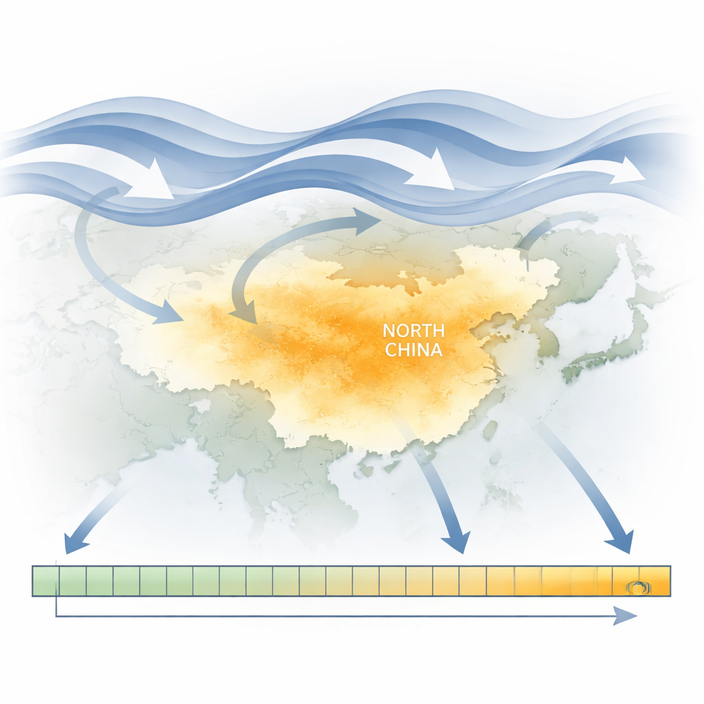
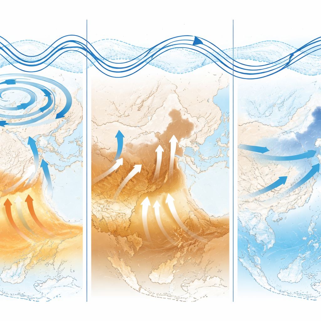
How distant waves shape local haze
At the heart of this rhythm is a wave-like pattern in the atmosphere that stretches from western Europe across Eurasia to East Asia. This so‑called Eurasian teleconnection behaves like a train of giant Rossby waves traveling eastward in the middle and upper troposphere. When one phase of this pattern places an unusual high-pressure system aloft over East Asia, it weakens the usual East Asian trough. Near the surface, this leads to southerly winds that carry warm, moist air into North China. The warm air expands, lowers surface pressure, and pushes down the boundary layer height, trapping pollutants in a shallow layer close to the ground. Rising motion and high humidity then encourage chemical reactions that form more particles, while friction slows the winds and further stalls dispersion. When the pattern flips to an upper-level low, the chain reverses and the built-up haze is swept away.
Turning evolving winds into a pollution forecast
Existing pollution forecasts struggle in the “predictability desert” of 10–30 days ahead: full-physics air-quality models lose accuracy, while simple statistical tools miss key atmospheric swings. The authors bridge this gap with a hybrid approach called ICEOTW, which links the evolution of large-scale circulation to the evolution of PM2.5 without simulating every chemical detail. Rather than guess each day’s pollution separately, ICEOTW predicts the entire 30-day curve of PM2.5 for North China by learning how 30-day patterns in winds, temperature, humidity, and other circulation features translate into 30-day patterns of pollution. It does this using a sliding 30-day window that blends the most recent observations with forecasts from the European Centre for Medium-Range Weather Forecasts subseasonal-to-seasonal (S2S) model, capturing both current conditions and where the atmosphere is heading.
How well does the new system work?
The team selected ten key circulation variables across different heights in the atmosphere, such as geopotential height, upper- and lower-level winds, temperature, humidity, and outgoing longwave radiation. These together describe the three-dimensional “skeleton” of the wave pattern that drives haze episodes. Using advanced statistical techniques, the framework learns coupled patterns connecting 30-day circulation evolution to 30-day PM2.5 evolution, and then tests them year by year using cross-validation. The resulting multi-predictor ensemble can skillfully forecast winter PM2.5 over most of North China up to 20 days in advance, with useful signals extending even further for some measures. It not only tracks broad swings in average pollution but also reliably estimates the odds of positive or negative pollution anomalies, and it successfully reproduced the timing of a major December 2015 haze event, albeit with slightly weaker peak intensity.
What this means for cleaner skies
To a lay reader, the conclusion is straightforward: by watching how giant atmospheric waves evolve over Eurasia, it is now possible to see many winter haze events in North China coming nearly three weeks ahead. The ICEOTW framework turns physically understood circulation patterns into practical, early warnings of dangerous PM2.5 levels, without needing perfect knowledge of every emission source or chemical reaction. While its performance still depends on the skill of global weather models and is best tested under stable emission conditions, it offers a powerful new tool for governments and communities. With earlier alerts, cities can plan traffic controls, adjust industrial activity, and warn vulnerable groups before the air turns hazardous, making extended-range pollution forecasting a key ally in protecting public health.
Citation: Li, Y., Zhou, F., Yin, Z. et al. A skillful hybrid framework for seamless subseasonal PM2.5 prediction over North China. npj Clean Air 2, 24 (2026). https://doi.org/10.1038/s44407-026-00074-5
Keywords: air pollution forecasting, PM2.5 in North China, subseasonal prediction, atmospheric circulation, hybrid climate models