Clear Sky Science · en
Wide-swath satellite altimetry reveals hotspots of small mesoscale eddies in the western Arctic Ocean
Why tiny Arctic whirlpools matter
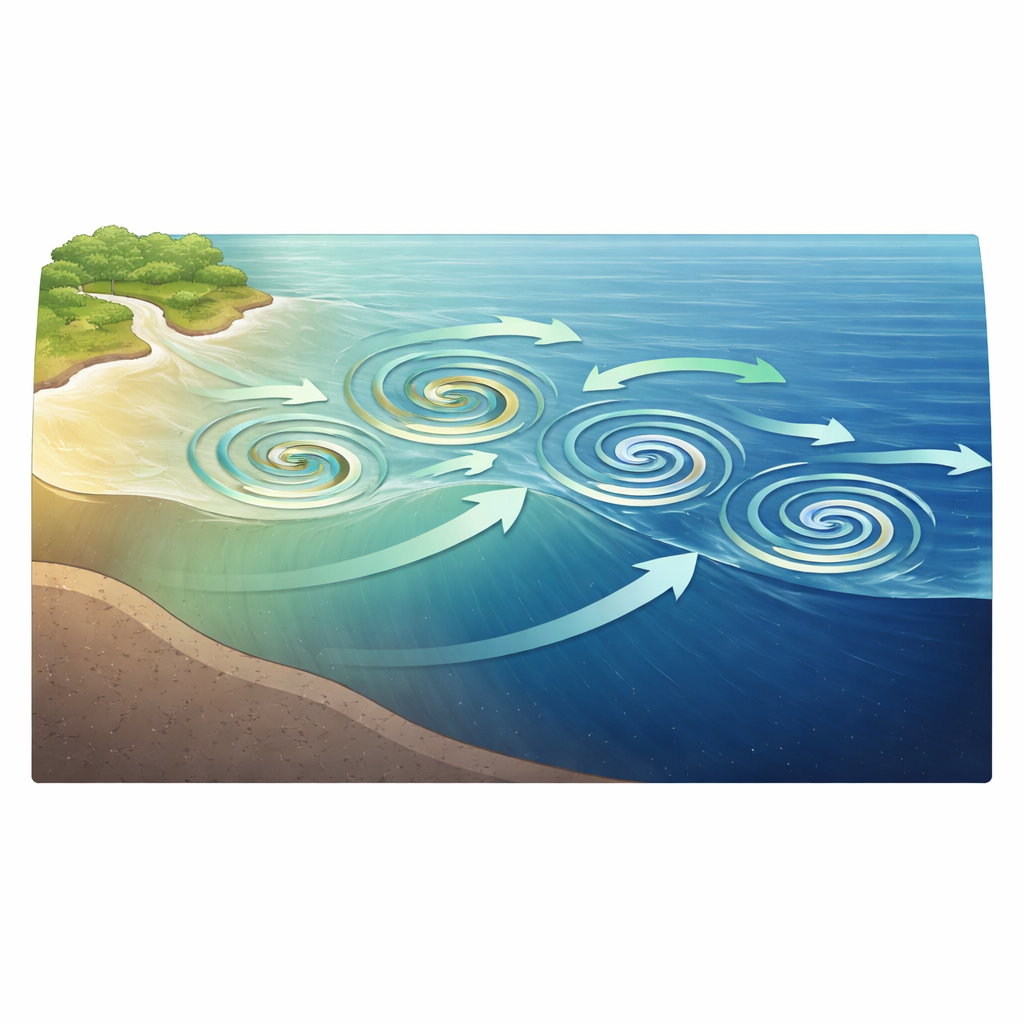
The Arctic Ocean may look like a still, icy cap from space, but beneath the surface it is full of swirling water features called eddies—whirlpool-like structures that can be only a few kilometres across. These hidden motions help decide how much freshwater, heat and nutrients are stored in the Arctic and how much escapes toward the rest of the world’s oceans. The study summarized here uses a new satellite mission, Surface Water and Ocean Topography (SWOT), to reveal thousands of previously invisible small eddies in the western Arctic’s Beaufort Sea and shows that they form persistent “hotspots” that shuttle coastal waters into the deep ocean interior.
A new space eye on Arctic seas
Traditional satellites measure sea level along thin tracks and then stitch those lines together into coarse maps. That approach works reasonably well in mid‑latitude oceans but blurs out the fine details needed to see the Arctic’s small eddies, many of which are only 5–10 kilometres wide. The new SWOT satellite uses a radar interferometer that scans wide swaths—two strips about 50 kilometres wide on either side of the orbit track—at roughly 2‑kilometre resolution and centimetre accuracy. Instead of inferring structures indirectly, SWOT can directly image the bumps and dips in the sea surface that mark an eddy’s presence, allowing scientists to detect many more and much smaller features than before.
Finding the Arctic’s eddy hotspots
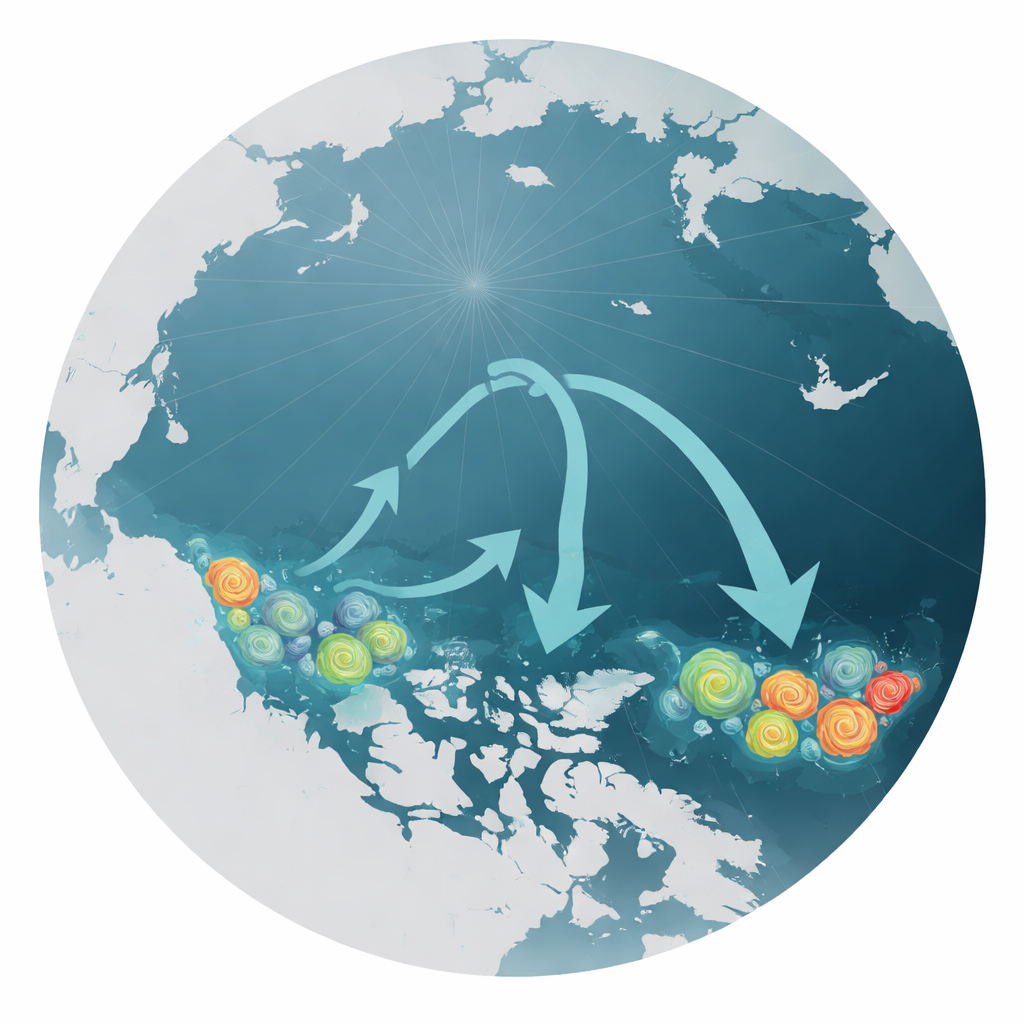
Using an automated pattern‑recognition method on SWOT’s high‑resolution sea level maps, the authors catalogued eddies across the Beaufort Sea during ice‑free months in 2023 and 2024. They found a striking contrast between the shallow continental shelf and the deep interior: the shelf teems with small eddies, while the basin hosts a mix of small and somewhat larger ones. Three clear hotspots emerged along the southern Beaufort Sea—near Barrow Canyon, the mouth of the Mackenzie River, and the entrance to Amundsen Gulf. In each of these areas, the number of eddies was persistently high from year to year, indicating that they are not fleeting curiosities but regular features of the regional circulation.
Rivers, fronts and swirling highways offshore
The hotspots line up with places where strong contrasts in water properties naturally occur. In Barrow Canyon, strong currents carry relatively fresh Pacific water onto the shelf, while off the Mackenzie River and at Amundsen Gulf, buoyant river outflows and contrasting water masses create sharp fronts between warm, fresh surface water and colder, saltier offshore water. Such fronts are prone to instability, causing them to roll up into swirling eddies. By comparing SWOT’s sea level patterns with independent satellite maps of surface salinity, temperature and chlorophyll (a proxy for plant‑like plankton), the study shows that these small eddies wrap around tongues of low‑salinity, warm and nutrient‑rich coastal water and carry them away from the shore into the deep basin.
Measuring the hidden traffic of heat and freshwater
To understand what these eddies actually transport, the researchers combined SWOT observations with a very high‑resolution computer model of the Arctic Ocean. In the model, they tracked small eddies as they drifted northward from the shelf off the Mackenzie River. The eddies acted like moving containers, trapping anomalies in temperature and salinity and exporting both heat and freshwater toward the interior Beaufort Sea over the course of the summer. SWOT’s statistics further show that most observed eddies are indeed small, with an average radius of about 10 kilometres, and that slightly more eddies spin cyclonically than anticylonically. When the team compared these observations with state‑of‑the‑art models and with coarser, traditional satellite products, they found that existing tools tend to miss many of these small features or simulate them with the wrong sizes, numbers and strengths.
What this means for a changing Arctic
The study concludes that small eddies along the Beaufort Sea’s continental margin form key gateways between coastal waters and the deep Arctic basin. By moving freshwater, heat and nutrients offshore more quickly than slower background currents alone, these whirlpools can influence sea ice melt, the layering of the upper ocean and the productivity of marine ecosystems far from land. SWOT’s ability to routinely observe such small features marks a turning point for Arctic oceanography, providing the first basin‑wide, quantitative view of these processes. The resulting measurements not only sharpen our picture of how the Arctic currently works but also offer critical benchmarks for improving climate models that aim to predict how this sensitive region—and its influence on global oceans—will evolve in a warming world.
Citation: Fu, C., Han, X., Wang, Q. et al. Wide-swath satellite altimetry reveals hotspots of small mesoscale eddies in the western Arctic Ocean. Commun Earth Environ 7, 344 (2026). https://doi.org/10.1038/s43247-026-03498-9
Keywords: Arctic eddies, Beaufort Sea, SWOT satellite, shelf-basin exchange, freshwater transport