Clear Sky Science · en
A combination of social media and satellite data improves flood monitoring in China
Why tracking floods is getting smarter
Floods are among the most damaging natural disasters, yet many of the most disruptive ones are never formally recorded. Sudden urban downpours that swamp streets and subways may not show up clearly in satellite images or official disaster reports, even though they upend daily life. This study explores how combining satellite rainfall data with posts from China’s largest social media platform, Sina Weibo, can reveal thousands of otherwise hidden floods and paint a much richer picture of when and where water overwhelms cities.
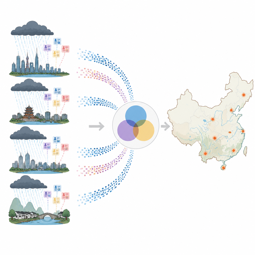
How online chatter reveals rising water
The researchers began with two huge data streams. First, they used a global satellite product that measures rainfall every hour over a fine grid, allowing them to track rainstorms as they move across China. Second, they collected nearly 93 million public Weibo posts from 2012 to 2024 that contained words related to heavy rain or flooding. A language model, trained specifically on Chinese text, filtered these messages and kept only the 4.87 million that genuinely described rainstorms or floods. A separate tool then read each post for place names and matched it to one of 370 Chinese cities, creating a detailed timeline of how people talked about intense weather in different locations.
Following storms from clouds to city streets
To connect rainfall in the sky with trouble on the ground, the team first grouped satellite rainfall pixels into individual rainstorms and then into broader rainstorm events at the city level. They did this using an approach that tracks where and when rain exceeds official thresholds and allows for short lulls, so an entire storm system is treated as a single event rather than lots of fragments. Between 2012 and 2024 they identified 6,018 such rainstorm events, most frequent in southeastern and southern China where moisture and population are both high. Many cities saw repeated deluges each year, while some dry northern and northwestern cities experienced none during the study period.
Turning social media into a flood detector
Once the rainstorm events were mapped, the scientists zoomed in on how people reacted online. For each city hit by a storm, they looked at Weibo posts from the start of the storm until a day after it ended and used a topic model to see whether the main theme of those posts involved flooding. If flood-related words dominated the conversation in a city during a storm, that city was flagged as having experienced a flood. In total, the system detected 1,094 real flood events after manual checking, with an accuracy of about 82 percent. Most of these floods were short-lived and spatially limited, often affecting just one city for only a few days, which helps explain why big global databases miss them.
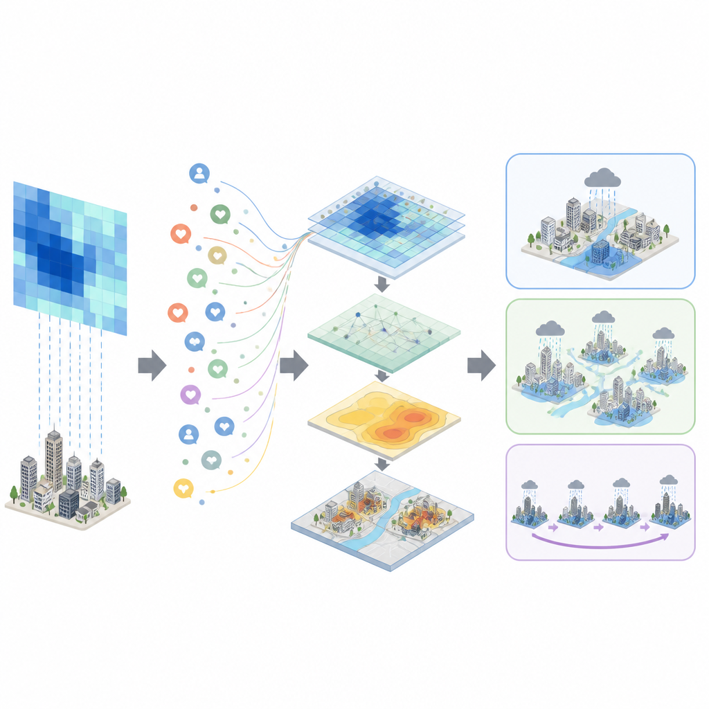
What satellites can see and what they miss
The team compared their flood catalog with two widely used international disaster databases and with detailed satellite images. Global databases listed only a fraction of the floods uncovered here: fewer than 300 overlapping events across more than a thousand detected in China. High-resolution satellite images could clearly confirm about half of the Weibo-based floods, especially when using radar sensors that can see through clouds. But many urban and short-duration floods left little visible mark in satellite scenes, or occurred in areas with poor image coverage. Social media, by contrast, was particularly sensitive to floods inside dense cities, while satellites were better at mapping water spread in rural areas and river plains.
What this means for people in harm’s way
By weaving together rainfall estimates from space with the spontaneous reports of millions of social media users, this study shows a practical way to track floods in near real time across an entire country. The approach uncovers numerous small and medium floods that rarely make the news but still disrupt transport, damage homes, and threaten lives. For emergency managers and planners, such detailed “flood footprints” can guide where to strengthen drainage, improve warning systems, and position rescue resources. While the method has limits and still misses some types of floods, it offers a powerful complement to satellites and official records, and could be adapted to other countries that have active social media communities.
Citation: Gu, H., Xiao, J., Shen, D. et al. A combination of social media and satellite data improves flood monitoring in China. Commun Earth Environ 7, 411 (2026). https://doi.org/10.1038/s43247-026-03403-4
Keywords: flood monitoring, social media data, satellite precipitation, urban flooding, China floods