Clear Sky Science · en
High-resolution imagery and neural networks link post-tsunami land cover changes to population health and well-being
Why this matters for people after disasters
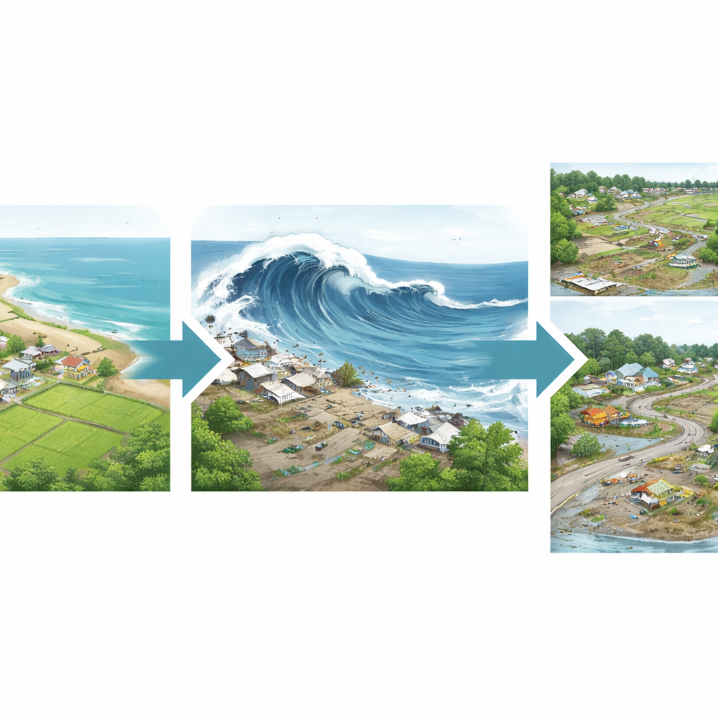
When a major disaster strikes, news cameras capture dramatic images of destruction—but those snapshots tell us little about how survivors are really doing months and years later. This study shows how detailed satellite pictures, combined with modern artificial intelligence and on-the-ground surveys, can reveal not only what was destroyed and rebuilt after the 2004 Indian Ocean tsunami in Indonesia, but also how those changes are tied to people’s health, stress, and livelihoods.
Watching the land change from space
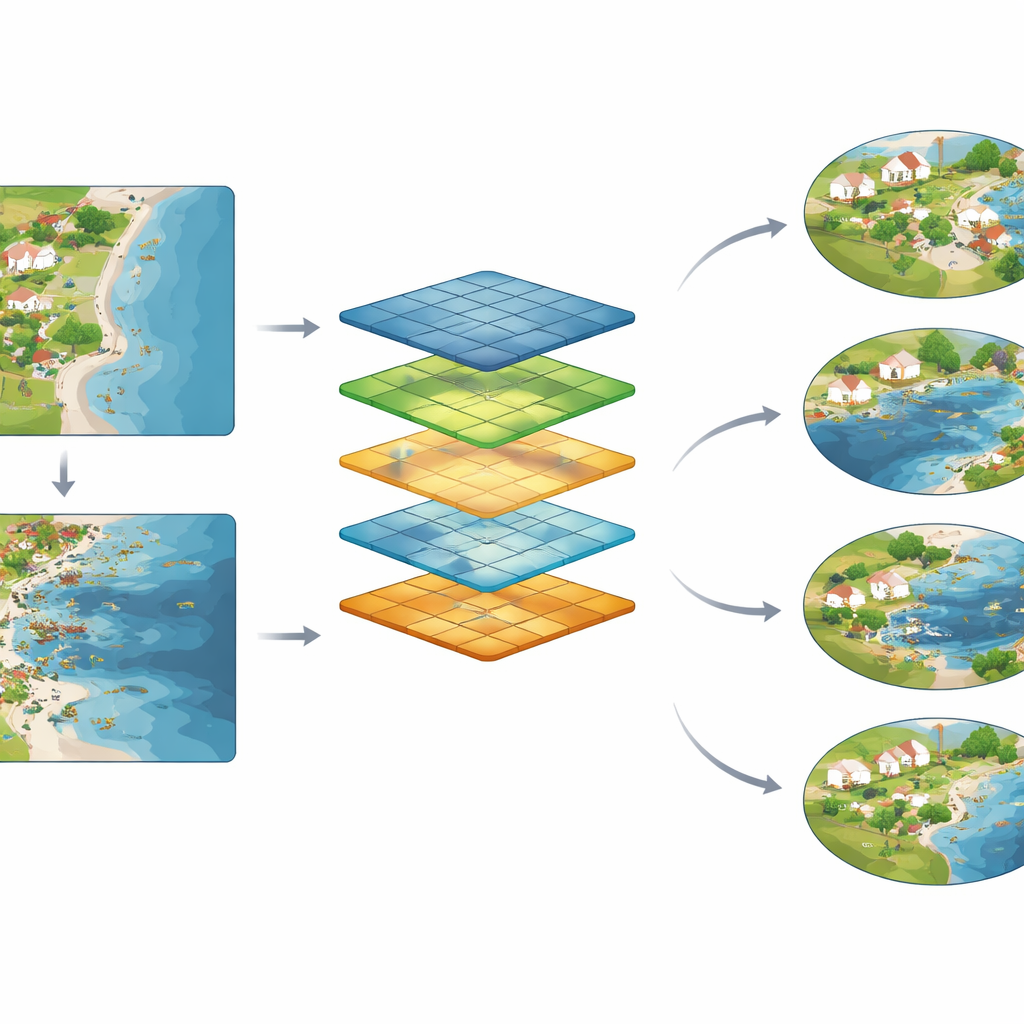
The researchers focused on Aceh, the Indonesian province hit hardest by the tsunami, where waves up to 25–30 meters high struck just minutes after a powerful earthquake. They obtained very high-resolution satellite images taken four times: about six months before the tsunami, a few days after, two and a half years later, and just over four years later. These images covered hundreds of square kilometers, including coastal cities, rural villages, and farmlands. To turn these billions of pixels into useful information, the team trained a type of artificial intelligence called a convolutional neural network to recognize eight kinds of land cover, such as buildings, roads, farm fields, open water, beaches, rubble, and building foundations.
Teaching computers to read disaster scars
Local experts in Aceh and a team in the United States manually traced thousands of examples of each land type on image snippets, carefully cross-checking one another’s work. This hand-labeled set served as the teaching material for the neural network. Once trained, the system could automatically assign every pixel in the full images to one of the eight categories, for each time point. The results clearly showed the tsunami’s signature: along the coast, buildings and roads nearly vanished in the days after the waves hit, while flooded areas, rubble, and exposed foundations surged. In later images, new buildings and roads reappeared and sometimes surpassed pre-tsunami levels, while the shoreline itself shifted and agricultural land expanded or shrank in different zones.
Connecting landscapes to lives
What makes this study distinctive is that the satellite-based land changes were linked directly to detailed information about people. The authors used data from a special census and from the Study of the Tsunami Aftermath and Recovery, which had interviewed thousands of Acehnese residents before the tsunami and then followed survivors for many years. For each community, and even for small neighborhood areas around survey clusters, the scientists calculated the shares of land covered by water, buildings, and agriculture before and just after the tsunami, and how those shares shifted between 2005 and 2009. They then compared these patterns with outcomes such as how many people died, how many were forced to move, how intense survivors’ post-traumatic stress symptoms were, and how people rated their own economic standing on a simple ladder.
What the patterns reveal about well-being
The land changes seen from space turned out to be strongly tied to human outcomes on the ground. In places where water suddenly covered much more land after the tsunami, communities lost more residents—both from deaths and from displacement—and survivors were more likely to move away. Individuals in these hardest-hit areas reported more severe stress symptoms and a sharper drop in how they viewed their family’s economic position. By contrast, communities that retained or regained a higher share of buildings and farmland tended to have lower death rates, fewer people uprooted, and better psychological health. Over the following four to five years, areas where buildings and agriculture expanded relative to water saw larger improvements in stress levels and higher population growth, suggesting that visible rebuilding and a return of livelihoods were closely linked to recovery in people’s lives.
Looking ahead to smarter disaster response
To a layperson, the core message is straightforward: careful analysis of satellite images can do much more than count ruined houses. When paired with solid survey data, it can help reveal where people suffered the most, where they are recovering, and where help is still needed—both soon after a disaster and years later. The methods demonstrated in Aceh are scalable to other regions and other kinds of extreme events, from floods and fires to storms and conflict. Although the approach requires good imagery and strong field data, it points toward a future in which decision-makers can quickly and objectively track both physical rebuilding and human well-being, and direct resources in ways that truly support survivors’ long-term recovery.
Citation: Peshkin, E., Frankenberg, E., Katz, P. et al. High-resolution imagery and neural networks link post-tsunami land cover changes to population health and well-being. Commun Earth Environ 7, 396 (2026). https://doi.org/10.1038/s43247-026-03396-0
Keywords: tsunami recovery, satellite imagery, neural networks, disaster impacts, population well-being