Clear Sky Science · en
Tectonic activity and river mouth proximity drive submarine canyon retreat along Italian coasts
Hidden Valleys Under the Waves
Just offshore of Italy’s famous beaches, deep underwater valleys quietly eat their way back toward the coast. These submarine canyons can funnel huge underwater landslides that, in the worst cases, send tsunamis toward crowded shorelines. This study asks a simple but crucial question: what makes some canyon heads more likely than others to retreat toward the coast and threaten people living nearby?
What Lies Beneath the Coastal Waters
Submarine canyons are steep, valley‑like cuts that slice from the continental shelf down into the deep sea. Some stay well offshore, but many along Italy and the wider Mediterranean bite right into the narrow shelf, with their heads lying close to the coastline. These features act as main highways for sediment, reshaping the seafloor and influencing currents, marine life, pollution pathways, and even how carbon is stored in the deep ocean. When the head of a canyon retreats upslope in a series of collapses, it can destabilize the shallow seabed and the very foundations of the coastline above.
How the Team Mapped the Underwater Threat
The authors built the first nationwide inventory of submarine canyon heads around Italy, identifying 2,765 distinct “detachment niches” that mark where past underwater slope failures began. For each canyon head, they measured how far it lies from the shoreline and from the nearest river mouth, as well as the steepness and roughness of the surrounding seafloor. They then added a rich set of tectonic information: patterns of crustal deformation from GPS and satellite radar, long‑term uplift from ancient shorelines, and the density and strength of earthquakes derived both from historical catalogs and from mapped active faults. Finally, they combined these physical measures with population data to see where vulnerable communities and unstable underwater slopes overlap. 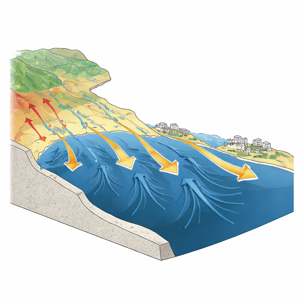
Earthquakes and Rivers as the Main Drivers
Armed with this large database, the researchers used two complementary statistical models to estimate how strongly each factor contributes to canyon head retreat susceptibility. Across both approaches, one influence towered above the rest: proximity to major seismogenic faults. In their models, measures of fault‑related seismicity outweighed other variables by as much as 9 to 11 orders of magnitude, meaning that sections of coast sitting above or near active fault systems are inherently predisposed to canyon‑head instability. At the same time, the distance to river mouths emerged as a consistent, though secondary, control. Canyon heads that line up closely with river outlets appear to exploit former river valleys and sediment‑choked zones that are already weakened, especially where slopes are steep.
Where the Coast Is Most at Risk
By grouping canyon heads according to broader tectonic regions, the study shows that actively deforming belts—whether under extension or compression—host the most unstable systems. Areas like the Calabrian subduction zone and parts of the Tyrrhenian margin exhibit both high average susceptibility and remarkable uniformity, suggesting that regional tectonics largely dictate behavior there. In contrast, more slowly deforming foreland basins show patchy, locally controlled patterns that depend heavily on nearby rivers and detailed seafloor shape. When the team combined susceptibility with present‑day population exposure, they found that only a few percent of canyon heads qualify as “Critical Hotspots,” where high geological instability coincides with densely inhabited coasts. Case studies off Gioia Tauro and around Ischia Island confirm that these statistical hot spots match real‑world sites of past landslide‑tsunami events and ongoing volcanic or tectonic unrest. 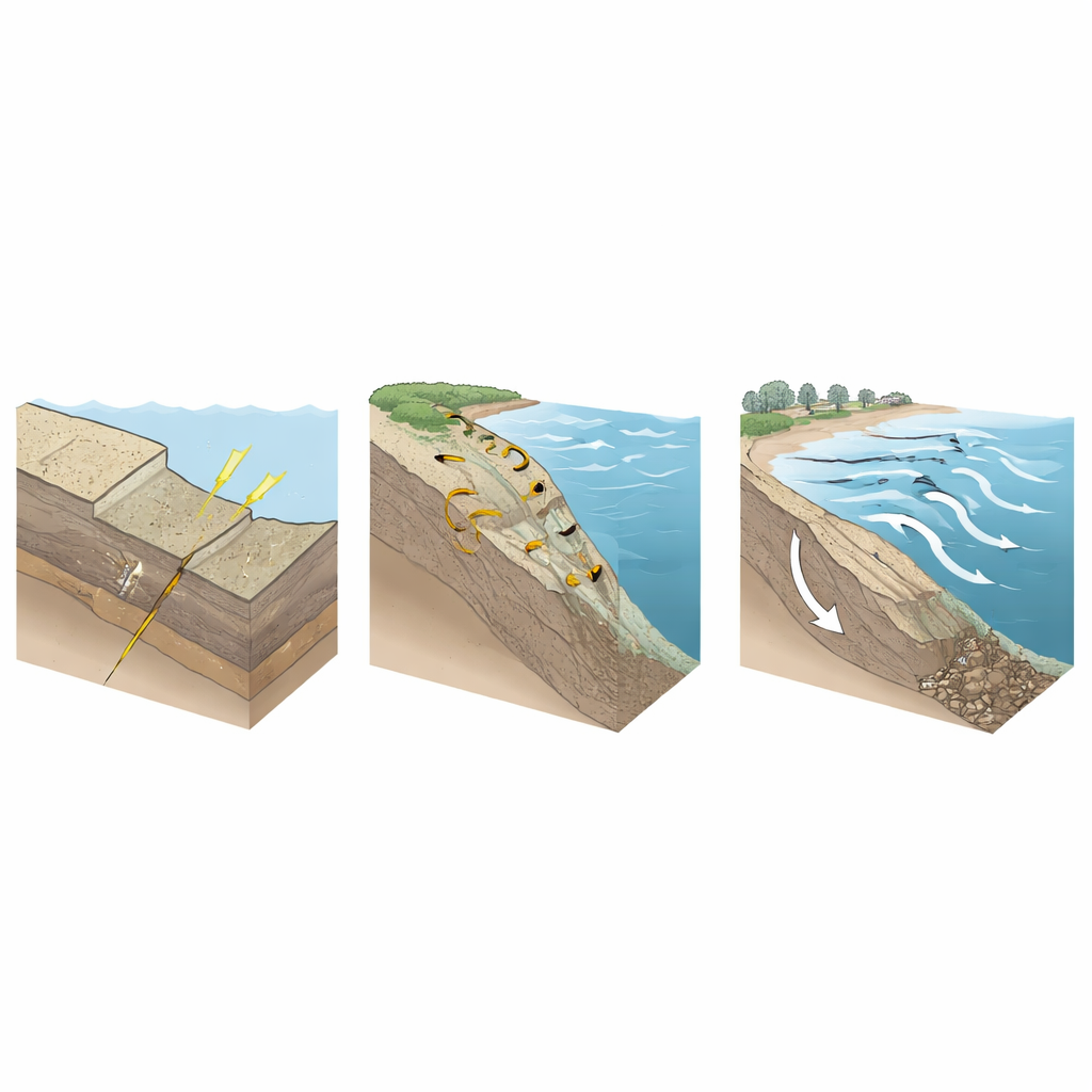
What This Means for Coastal Communities
The work shows that not every submarine canyon near Italy’s shores poses the same level of danger. The canyons most likely to retreat and generate damaging landslides are those seated in strongly deforming, earthquake‑prone regions and aligned with river systems that deliver loose sediment to steep slopes. By isolating these drivers and mapping the 74 highest‑priority canyon heads, the study offers a practical blueprint for focusing monitoring, detailed seabed surveys, and tsunami planning where they are most needed. In doing so, it turns a complex underwater landscape into actionable knowledge that can help protect people living along some of Europe’s most iconic, but also most fragile, coasts.
Citation: Parrino, N., Caldareri, F., Burrato, P. et al. Tectonic activity and river mouth proximity drive submarine canyon retreat along Italian coasts. Commun Earth Environ 7, 369 (2026). https://doi.org/10.1038/s43247-026-03373-7
Keywords: submarine canyons, earthquake hazards, tsunamis, Italian coast, marine landslides