Clear Sky Science · en
Scale-dependent model-observation inconsistencies in global terrestrial water storage models
Why tracking hidden water matters
Much of Earth’s freshwater is stored out of sight in snowpacks, soils, wetlands, and aquifers. This “hidden” water helps buffer us against droughts and floods, underpins food production, and shapes how climate change plays out on land. In recent years, satellites that sense tiny changes in Earth’s gravity have revolutionized our view of this hard‑to‑measure reservoir. But computer models, which we rely on for planning and future projections, do not always agree with what the satellites see. This study asks a simple but crucial question: how well do our best global water models actually track real‑world water storage, and does their accuracy change as we zoom in from the whole planet to individual river basins?
Seeing Earth’s water from space and in models
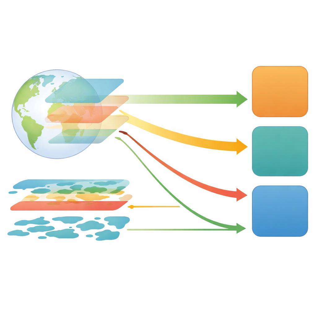
The authors focus on “terrestrial water storage anomalies” – month‑to‑month ups and downs in the total amount of water stored on land. These changes are measured directly by the GRACE and GRACE‑FO satellite missions, which detect how shifting water masses subtly tug on the satellites’ orbits. In parallel, several families of computer models simulate the water cycle by tracking components such as soil moisture, snow, rivers, lakes, and groundwater. The study examines seven such products: land surface models used in weather and climate systems, global hydrological models designed to represent rivers and groundwater in detail, a land reanalysis that blends models with many observations, and a special “data assimilation” system that directly ingests GRACE information into a land model.
How well models follow the planet’s pulse
At the global scale, most models do a good job capturing the timing of ups and downs in total water storage. They reproduce the strong yearly cycle and the long‑term global decline in land water since 2002, which signals gradual depletion of freshwater in many regions. Statistically, their month‑to‑month variations track the satellite record very closely. Yet when the authors map out where water is gaining or losing over the globe, larger gaps emerge. The best hydrological model matches the global timing of GRACE almost perfectly but struggles to reproduce where long‑term drying and wetting are occurring. By contrast, the GRACE‑constrained assimilation system achieves much higher spatial agreement, suggesting that directly anchoring models to satellite observations greatly improves the geographic pattern of simulated change.
Climate zones and river basins tell a different story
The team then tests model performance within five broad climate zones – from humid tropics to polar regions – and across 310 river basins of different sizes. In the tropics and temperate regions, many models follow GRACE reasonably well. But their skill drops in dry and cold regions and becomes particularly poor in polar zones, where snow, ice, and scarce ground observations make simulations difficult. A recurring pattern appears as the analysis zooms from large to medium to small basins: almost all models perform best in the largest basins and degrade systematically as basin size shrinks, because local human water use and small‑scale landscape features become more important. The assimilation system is the clear exception: it keeps relatively high consistency with GRACE across all basin sizes and is most reliable in capturing whether a basin is, on balance, gaining or losing water.
Linking water shifts to climate swings
Beyond long‑term trends, the study explores how well models capture the way land water responds to major climate swings driven by El Niño and La Niña. Using correlations between water storage, rainfall, and several El Niño–Southern Oscillation indices, the authors show that GRACE reveals strong, region‑specific fingerprints: some areas, such as northern Australia and parts of South America, dry during El Niño, while others become wetter. The GRACE‑informed assimilation system reproduces these patterns most faithfully, especially in tropical and subtropical basins where climate signals are strongest. Other models often miss the size or even the direction of the response, especially during extreme events, highlighting weaknesses in how they represent floods, droughts, and human water use.
What this means for water planning and climate risk
Overall, the study concludes that inconsistencies between models and satellite observations depend strongly on the spatial scale and region being examined. Purely model‑driven products tend to look much better at global scales than they do for individual basins, and they often falter in cold and dry climates. Systems that tightly combine physical models with GRACE satellite data reduce these inconsistencies dramatically, maintaining better performance from the planetary level down to smaller watersheds and in data‑poor regions. For decision‑makers, this means global water and climate assessments should rely on observation‑constrained products wherever possible, and local studies should treat single models with caution, especially in small or sparsely monitored basins. The work underscores that future progress will come from closer marriage of satellite observations, advanced models, and new downscaling methods to deliver trustworthy, high‑resolution pictures of Earth’s changing freshwater.
Citation: Zhang, G., Xu, T., Liu, S. et al. Scale-dependent model-observation inconsistencies in global terrestrial water storage models. Commun Earth Environ 7, 298 (2026). https://doi.org/10.1038/s43247-026-03327-z
Keywords: terrestrial water storage, GRACE satellites, hydrological models, data assimilation, climate-driven water change