Clear Sky Science · en
Carbon neutrality timing controls future tropical cyclone intensity and precipitation over the western North Pacific
Why the Timing of Climate Action Matters
People who live near coasts in East and Southeast Asia are no strangers to powerful tropical cyclones, often called typhoons. This study asks a deceptively simple question with real-world stakes: if the world reaches net-zero carbon emissions in the 2050s instead of the 2070s, how much difference does that 20-year delay make for the strength and rainfall of future storms over the western North Pacific? Using advanced computer simulations that can resolve the inner structure of these storms, the authors show that even a half-degree of extra global warming leads to noticeably stronger winds and heavier rain, meaning more potential damage when storms make landfall.
Two Futures, One Ocean
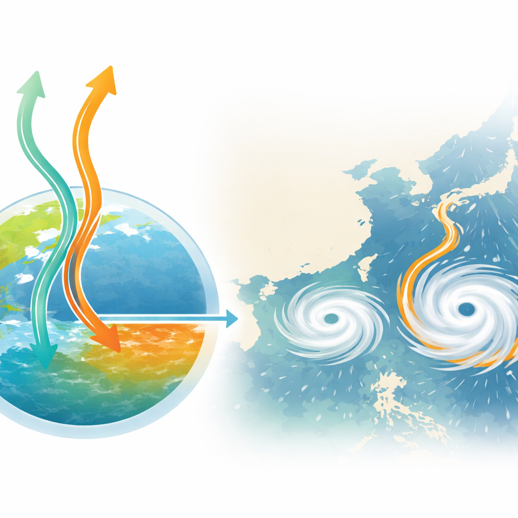
The researchers focused on two widely used climate storylines. In the first, global warming is limited to about 1.5 °C by the end of the century, with net-zero emissions reached in the 2050s. In the second, warming rises to about 2.0 °C, with net-zero delayed to the 2070s. Both are considered "low-emission" futures compared with business-as-usual, yet they differ in how fast the world cuts emissions. Over the western North Pacific, this difference translates into about 0.6 °C versus 0.9 °C of extra ocean warming by late century. Warmer seas feed energy and moisture into tropical cyclones, setting the stage for more intense winds and heavier downpours.
Simulating Tomorrow’s Typhoons Today
To test how storms respond in these two futures, the team used a weather model fine enough to explicitly simulate thunderstorms within tropical cyclones, with grid boxes only 3 kilometers across. They replayed nine recent, very intense storms that struck countries around the Asian coast, including Korea, Japan, and parts of China, under present-day climate conditions. Then, using a method called pseudo-global warming, they replayed the exact same storms again, but with the atmosphere and ocean adjusted to resemble the two warmer futures. This setup kept the storm paths nearly identical while changing only the background warmth and moisture, allowing a clean comparison of how intensity and rainfall respond to added heat.
Stronger Winds, Wider Damage
The simulations show that the most extreme winds become more widespread in a warmer climate, especially when net-zero emissions are delayed. Under both futures, the area experiencing very strong winds expands, but the increase is much larger in the 2.0 °C world. For grid cells where winds exceed about 40 meters per second—comparable to the most damaging parts of a typhoon—the affected area grows by roughly 13% in the earlier net-zero scenario and 22% in the delayed one. These changes are concentrated near the storm’s inner core, the region that typically drives the worst wind damage when a cyclone comes ashore.
Heavier Rains Over Larger Areas
Rainfall responds even more dramatically than wind. The study finds that areas experiencing very heavy rain—comparable to intense cloudbursts over several hours—increase by about 15–20% in the 1.5 °C world and 22–30% in the 2.0 °C world, depending on the threshold used. In other words, not only do peak rain rates rise, but the footprint of dangerous rainfall expands. When the authors focus specifically on the landfall period, when storms are already close to or over land, the same pattern holds: the stronger the warming, the larger the zones of damaging wind and flood-inducing rain, even though storms are typically weakening as they cross the coast.
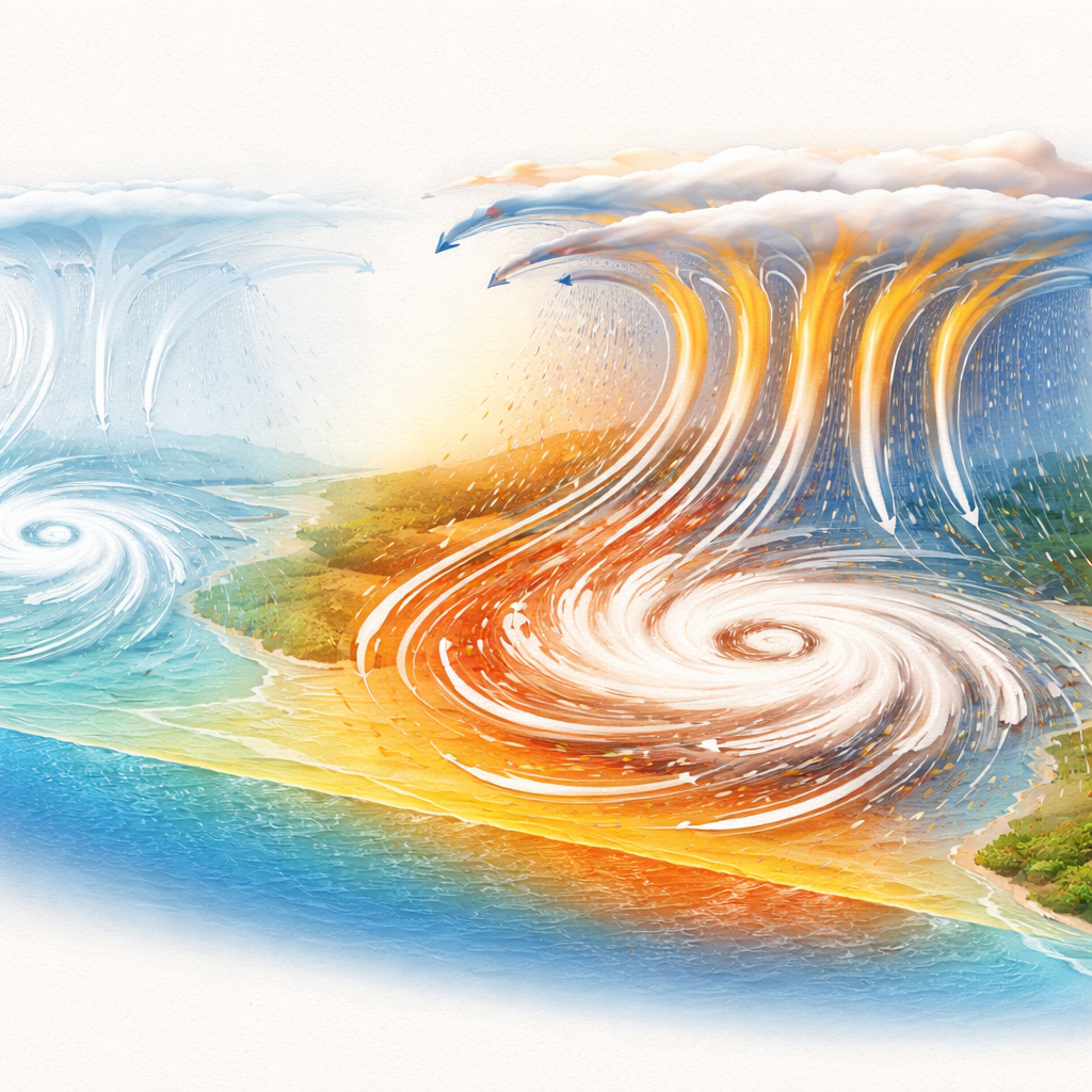
More Heat, More Moisture, More Lift
Why does a modest extra warming make such a difference? The simulations highlight two key ingredients. First, warmer air holds more water vapor, so storms in the future have more moisture to condense into rain, releasing extra heat that powers the cyclone. Second, this additional heat strengthens the upward motions near the storm’s center, drawing in more moist air at low levels and expelling air at high altitudes in a more vigorous circulation. Statistical analysis suggests that increased moisture explains about three-fifths of the boost in rainfall, with stronger vertical motion accounting for most of the rest. Together, these thermodynamic and dynamic changes produce more robust storm structures, with stronger spinning winds and more intense rain bands.
What This Means for Coastal Communities
To a layperson, the main message is clear: even in futures where the world does eventually reach carbon neutrality, when we get there matters. A 20-year delay in reaching net-zero emissions, and the extra half-degree of warming that comes with it, leads to tropical cyclones over the western North Pacific that are measurably stronger and wetter, particularly in their most extreme wind and rain regions. That means greater risk of wind damage, flooding, and landslides for millions of people living along Asian coasts. The study underscores that faster and deeper cuts in greenhouse gas emissions are not just abstract climate goals—they directly shape how fierce future typhoons will be.
Citation: Lee, M., Min, SK. & Cha, DH. Carbon neutrality timing controls future tropical cyclone intensity and precipitation over the western North Pacific. Commun Earth Environ 7, 307 (2026). https://doi.org/10.1038/s43247-026-03317-1
Keywords: tropical cyclones, western North Pacific, carbon neutrality, extreme rainfall, climate change impacts