Clear Sky Science · en
Estimating tectonic coastal uplift requires accounting for sea-level variations caused by rapid sediment redistribution
Why some coasts rise while others sink
Along many shorelines, ancient beaches and coral reefs act like rulers, recording where the sea once stood and how fast the land has moved. These records are crucial for estimating earthquake hazards, because coastal uplift or subsidence often reflects motion on nearby faults. This study shows that around Taiwan, one of the world’s most rapidly eroding mountain belts, those natural rulers are strongly distorted by the way sediment is stripped from the island and piled up offshore—so much so that past work may have misjudged how dangerous some faults really are.
Moving sand, moving sea
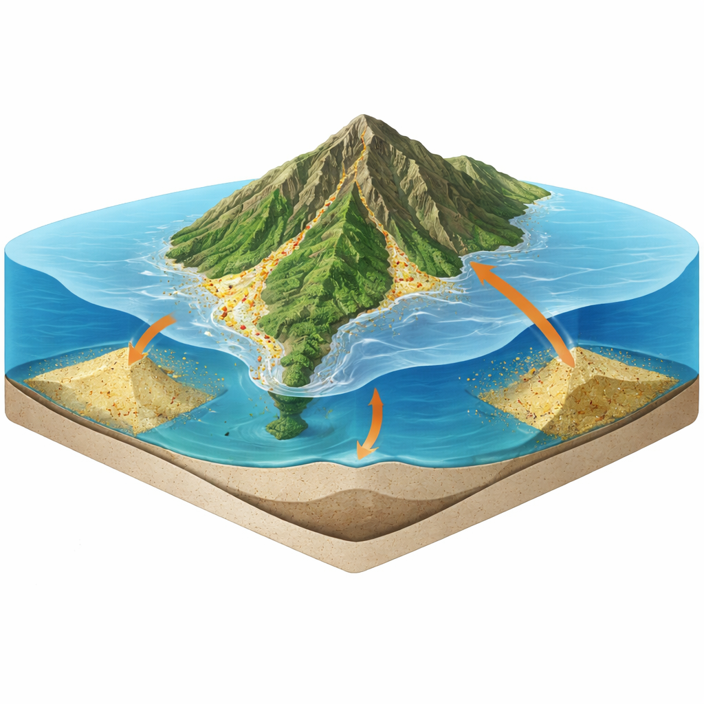
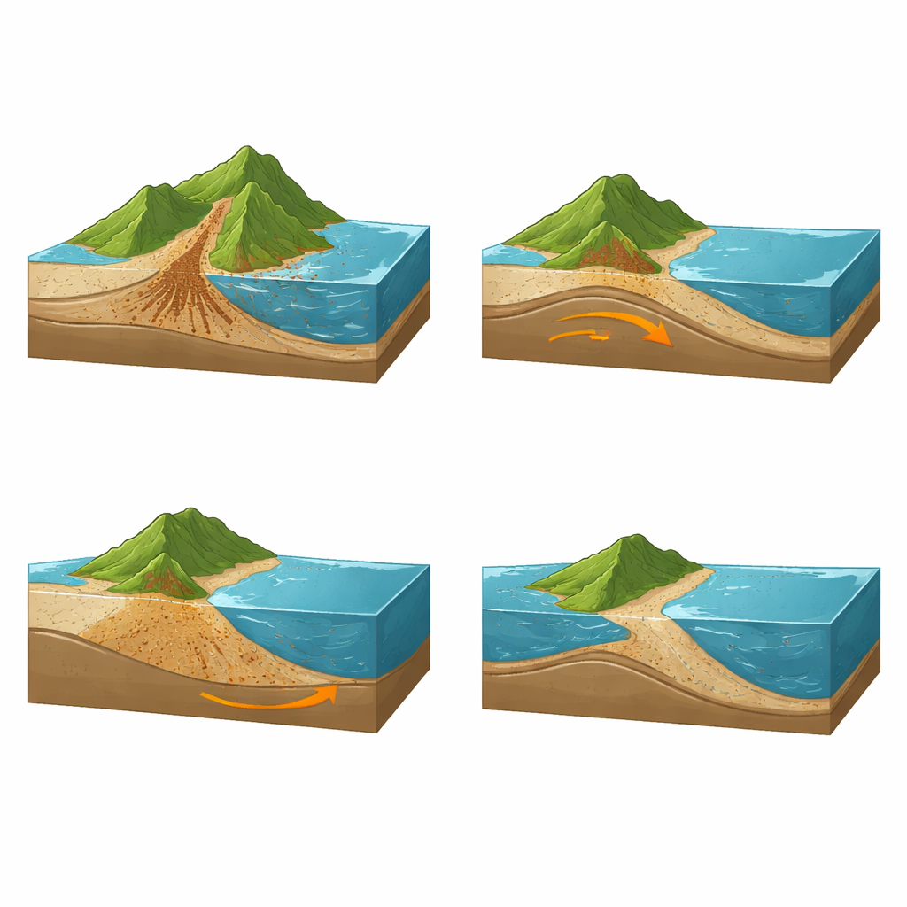
When rivers scour rocks and carry sediment to the ocean, they do more than reshape landscapes. Stripping material off a mountain lightens the load on the crust beneath, allowing it to flex upward. Dumping that material into offshore basins adds weight, pushing the crust down. This push-and-pull, known as sediment isostatic adjustment, also tugs on Earth’s gravitational field. Together, these effects subtly raise or lower the nearby sea surface relative to the land, even if the global ocean volume stays the same. In places with modest erosion, the influence is minor. In a sediment giant like Taiwan, with some of the planet’s fastest erosion and deposition rates, the effect can be dramatic.
Replaying 122,000 years of coastal change
The researchers assembled more than a thousand measurements of erosion and sedimentation from Taiwan and its surrounding seas, spanning modern river data, offshore seismic surveys, and sediment cores. From this, they reconstructed when and where material was removed from the island and where it accumulated offshore over the last 122,000 years—a full glacial cycle that includes times when sea level was much lower and Taiwan’s broad shelf was dry land. They then fed this time-varying sediment history, together with a standard record of global ice-sheet changes, into a numerical sea-level model that simulates how Earth’s crust and gravity field respond to changing loads.
Sea level that isn’t the same everywhere
The simulations reveal that Taiwan’s coasts have experienced extreme, highly uneven sea-level shifts driven solely by sediment movement. Along the central east coast, intense erosion has lifted the crust enough to make local sea level fall by more than 200 meters since the last interglacial period. In contrast, near Liuchiu Island off southwestern Taiwan, rapid sediment buildup offshore has caused the crust to sag, leading to a local sea-level rise of about 70 meters over the same time span. These changes dwarf the 6–8 meters of global mean sea-level change attributed to ice-sheet fluctuations alone over that interval, and they vary sharply over distances of less than 100 kilometers.
Hidden biases in fault and earthquake estimates
Because geologists typically compare the heights and ages of raised shorelines to a single sea-level curve, ignoring local sediment effects, these large, uneven shifts can seriously skew estimates of tectonic uplift. Along parts of Taiwan’s northwestern and eastern coasts, where erosion-driven uplift is strong, past studies appear to have overestimated tectonic uplift rates by 10% to as much as 90%. That means some faults there may slip more slowly, and produce large earthquakes less frequently, than previously thought. In contrast, at Liuchiu Island, neglecting subsidence from sediment loading can underestimate true tectonic uplift by more than a factor of two, implying that an underlying fault could be more active—and potentially more hazardous—than earlier assessments suggested.
What this means for coastal risk
To a non-specialist, the key message is that coasts do not simply rise and fall with global sea level or with the motion of tectonic plates. Around Taiwan, the relentless churning of rock into sediment and its rapid transport offshore can raise some shorelines, drown others, and mislead scientists about how fast faults are moving. The study demonstrates that, in fast-eroding mountain belts worldwide, accurate assessments of earthquake risk and long-term landscape change must account for these sediment-driven sea-level variations, not just ice sheets and tectonics.
Citation: Ho, A., Shyu, J.B.H., Tan, E. et al. Estimating tectonic coastal uplift requires accounting for sea-level variations caused by rapid sediment redistribution. Commun Earth Environ 7, 341 (2026). https://doi.org/10.1038/s43247-026-03302-8
Keywords: coastal uplift, sediment loading, sea-level change, Taiwan tectonics, earthquake hazards