Clear Sky Science · en
A novel insight into MJO predictability: initial errors can trigger a prediction barrier over the maritime continent
Why this matters for real-world weather
The Madden–Julian Oscillation (MJO) is a huge, slowly moving pulse of storminess that circles the tropics every month or so. When it is well predicted, forecasters gain valuable weeks of advance warning for floods, heat waves, cold surges, and even tropical cyclones around the world. Yet many forecasts suddenly become unreliable as the MJO crosses a region of islands and shallow seas between the Indian and Pacific Oceans known as the Maritime Continent. This study shows that the problem is not only in the models themselves: small mistakes in the atmosphere’s starting state, especially in how moist it is, can by themselves create a powerful “prediction barrier” in this region.
A moving pulse that steers global extremes
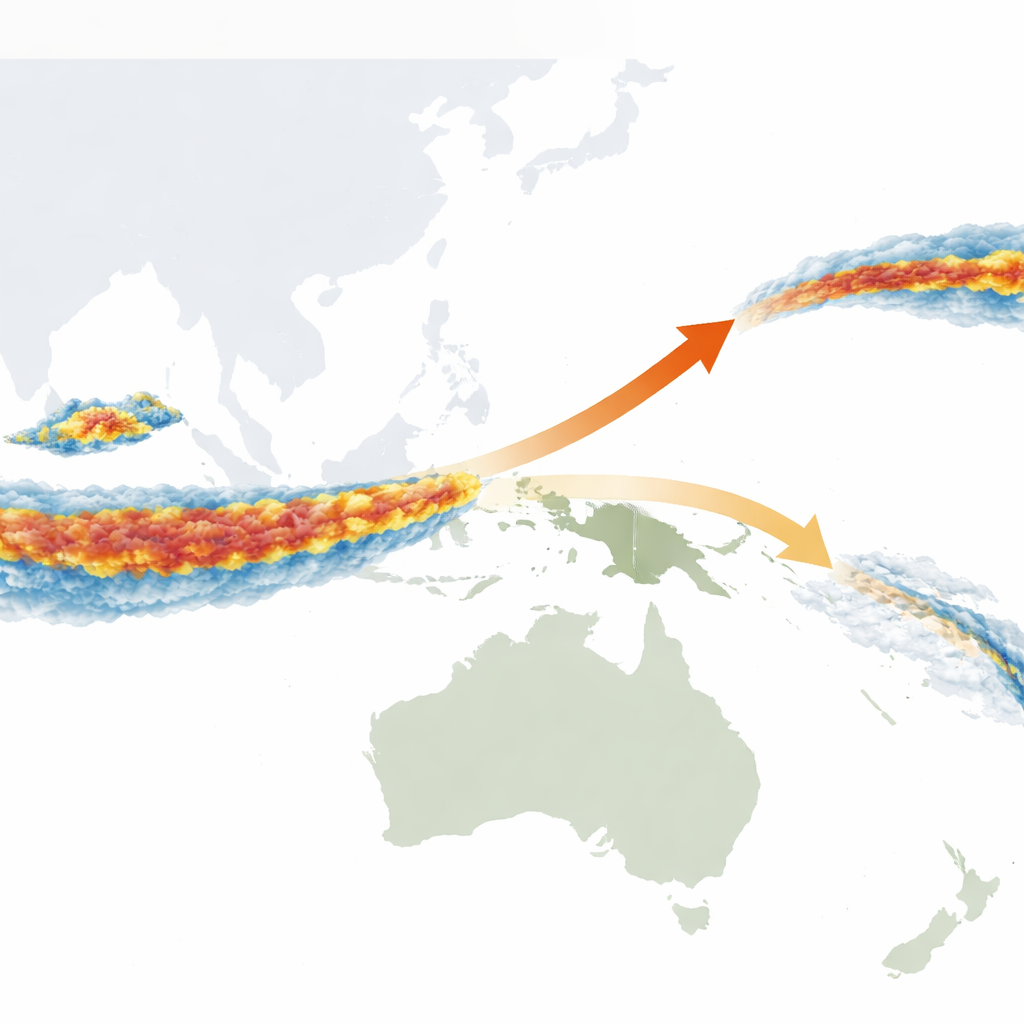
The MJO is like a planetary-scale weather pattern made of a traveling zone of rising air, thick clouds, and heavy rain, followed by a drier, sinking zone. As this pattern marches eastward along the equator, it nudges jet streams, helps trigger or suppress tropical cyclones, and shifts rainfall belts that affect billions of people. Because it evolves over weeks rather than hours or days, it is a prime target for subseasonal prediction — the difficult middle ground between day-to-day weather forecasts and seasonal climate outlooks. Unfortunately, most modern forecast systems see their MJO skill collapse just as the active storms approach the Maritime Continent, sharply limiting the useful lead time for disaster planning.
A long-standing roadblock over a complex island maze
Traditionally, this so‑called Maritime Continent prediction barrier has been blamed on model weaknesses. The maze of islands, narrow seas, steep mountains, and strong day–night rain cycles in the region is notoriously hard to represent, and many models are too dry there. These biases make it difficult for simulated MJO storms to maintain their strength as they move across the islands. However, forecast systems also start from imperfect snapshots of the real atmosphere. The authors ask a simple but overlooked question: even if the model itself were perfect, could small initial errors alone be enough to stop a real MJO from crossing the Maritime Continent in a forecast?
How small early mistakes grow into big forecast failures
To answer this, the team first examined large forecast ensembles from three international prediction centers. In these systems, every ensemble member uses the same model and start date but slightly different initial conditions. For many observed MJO events that actually crossed the Maritime Continent, some ensemble members predicted a successful crossing while others showed the MJO fading out over the islands. Because the only difference between these members is their starting state, this split behavior proves that initial uncertainty by itself can create a prediction barrier and shorten useful lead times by more than a week.
Moisture patterns as hidden troublemakers
Next, the authors used a state-of-the-art climate model to perform controlled experiments. They tested how sensitive MJO forecasts are to small initial errors in winds, temperature, and humidity over the Indian Ocean. Among all these, moisture stood out: tiny changes in how much water vapor the model started with produced error growth as large as combining all variables together. Using a mathematical technique called Conditional Nonlinear Optimal Perturbation, they then searched for the specific three-dimensional moisture patterns that would maximize forecast error for several representative MJO events. Two distinct types emerged. One pattern mainly slowed the eastward march of the MJO, while the other left the path intact but sapped its strength as it entered the Maritime Continent.
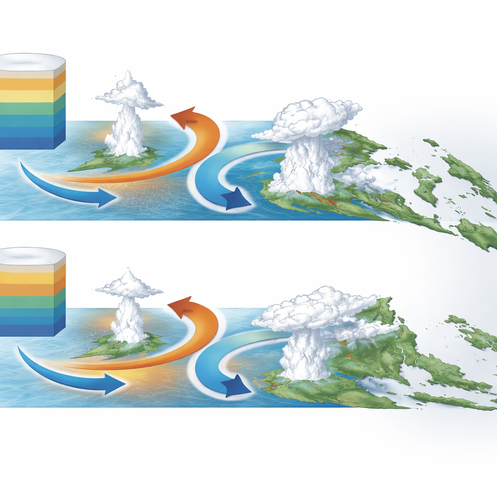
Wave interactions that block or weaken the storms
The study traces these two error types to different physical pathways involving equatorial wave patterns. In one case, the initial moisture error amplifies a westward-moving atmospheric wave whose dry phase smothers the MJO’s stormy core over the islands and whose wet phase disrupts the pattern back over the Indian Ocean. The result is that the MJO stalls or even reverses direction, never making it across. In the other case, the initial error weakens the MJO’s storms over the eastern Indian Ocean, which in turn weakens an accompanying band of low-level winds that normally helps pull moist air into the Maritime Continent. With less moisture being transported and additional dry disturbances nibbling away at the clouds, the MJO’s storms fade dramatically as they cross the islands.
What this means for better forecasts
The key message is that how we start a forecast can be just as important as how the model works. Carefully capturing the three-dimensional moisture field over the Indian Ocean — through better observations, smarter data assimilation, and improved initialization schemes — could significantly reduce the Maritime Continent prediction barrier. By targeting the particular moisture patterns that are most dangerous for forecasts, future systems may extend skillful MJO predictions closer to the process’s theoretical limits, improving early warnings for extreme weather around the globe.
Citation: Wang, X., Duan, W. & Wei, Y. A novel insight into MJO predictability: initial errors can trigger a prediction barrier over the maritime continent. npj Clim Atmos Sci 9, 105 (2026). https://doi.org/10.1038/s41612-026-01370-3
Keywords: Madden–Julian Oscillation, Maritime Continent, subseasonal prediction, moisture initialization, tropical waves